Regions of the United States: official, geographic, cultural and economic divisions
Overview and list of U.S. regions: Census Bureau divisions, common geographic and cultural areas (New England, Midwest, South, West), plus other notable subregions used for planning, climate, and culture.
Overview
The United States is commonly described in terms of regions that reflect administrative, geographic, cultural, economic, and climatic patterns. Some boundaries are formal and used for statistics and planning, while others are informal and overlap. Regional names help summarize large-scale similarities in history, landscape, economy, or identity without implying precise borders.
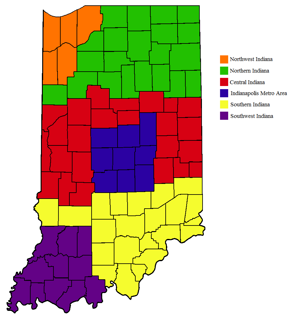
Image gallery
10 Images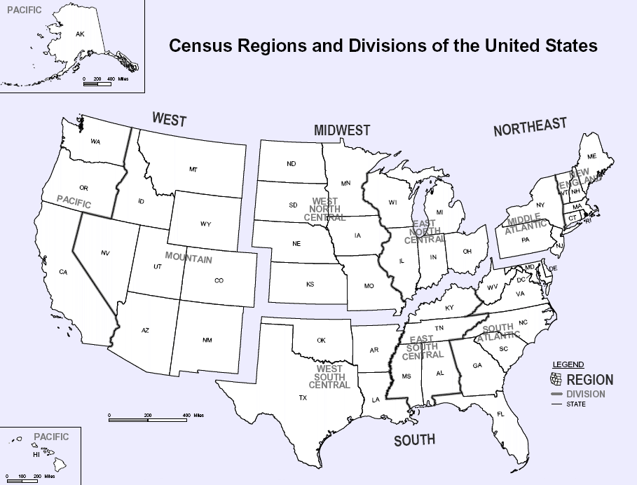


Official federal divisions
The U.S. Census Bureau groups the fifty states into four regions and nine divisions to standardize data collection and comparison.
- Regions: Northeast, Midwest, South, West.
- Divisions include: New England; Middle Atlantic; East North Central; West North Central; South Atlantic; East South Central; West South Central; Mountain; Pacific.
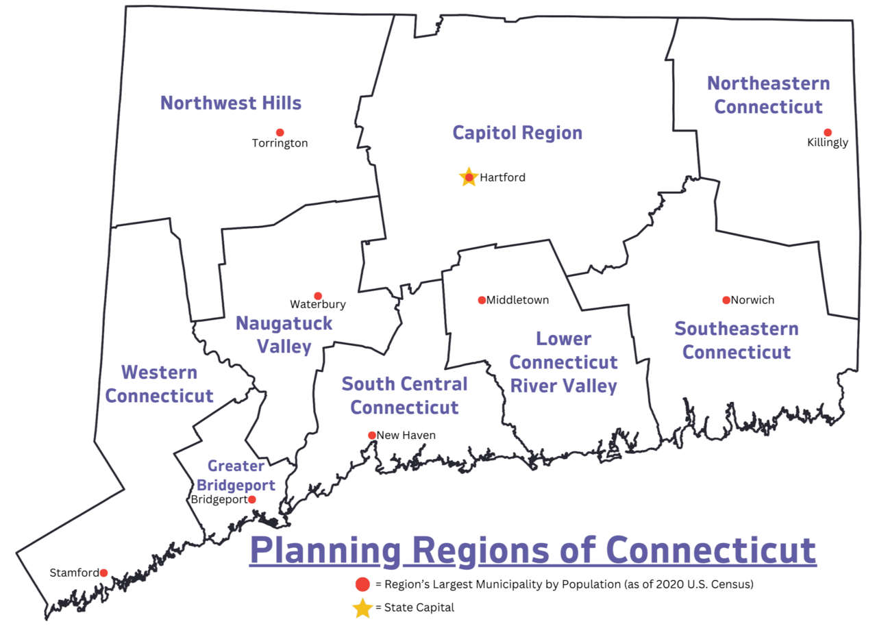
Common geographic and cultural regions
Everyday and academic usage also recognizes many other regions based on history, culture, climate, or economy. Examples include New England, the Mid-Atlantic, the Deep South, the Bible Belt, the Rust Belt, the Sun Belt, the Great Plains, Appalachia, and the Pacific Northwest. These labels often cross state lines and vary by context.
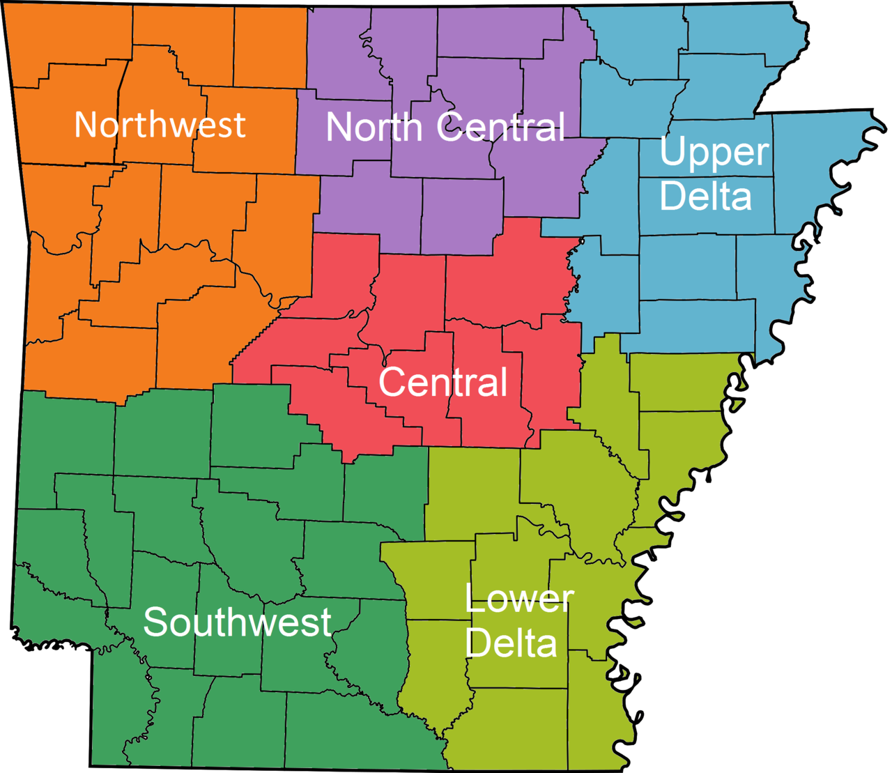
Other notable categories
- Physiographic regions: coastal plains, mountain ranges, the Interior Plains, and deserts.
- Economic or planning regions: metropolitan areas, multistate corridors, and federal agency regions.
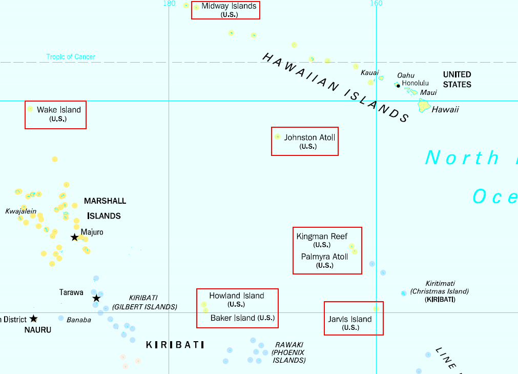
- Territorial regions: U.S. territories (Puerto Rico, Guam, U.S. Virgin Islands, Northern Mariana Islands, American Samoa) which are often treated separately from the fifty states.
Uses and important distinctions
Regional terms are used for censuses, policymaking, disaster planning, marketing, and cultural description. Because many regions overlap and evolve, it is important to check the intended definition in any specific study or plan. Informal regional identities can be politically and socially significant even when their borders are imprecise.
Related articles
Author
AlegsaOnline.com Regions of the United States: official, geographic, cultural and economic divisions Leandro Alegsa
URL: https://en.alegsaonline.com/art/124953