List of rivers of Alabama
An organized overview of Alabama’s rivers, their major systems, ecological importance, historical uses, and notable features, with examples grouped by basin and role.
Overview
Alabama is crossed by many rivers that drain into the Gulf of Mexico or the Mississippi River system. This article summarizes principal waterways, their roles in regional drainage and human activity, and provides examples drawn from a comprehensive list of rivers and related state resources here.
Image gallery
10 Images


Major rivers
- Tennessee River – flows through northern Alabama as part of the Ohio–Mississippi watershed and supports navigation and reservoirs.
- Alabama River – formed by the Coosa and Tallapoosa rivers and a central artery for the state’s interior drainage.
- Tombigbee River – runs in western Alabama and, together with the Alabama River, contributes to the Mobile basin.
- Mobile River – the short but powerful channel that conveys water to Mobile Bay and the Gulf of Mexico.
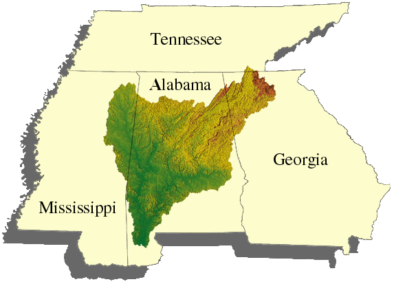
- Cahaba, Coosa, Tallapoosa, Black Warrior – important tributaries noted for biodiversity, navigation, and regional water supply.
Drainage basins and organization
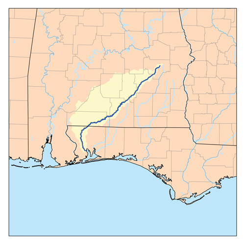
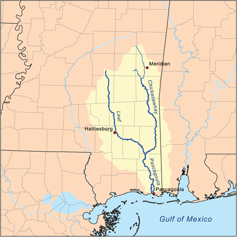
Rivers in Alabama fall broadly into two large drainage groups: the Mobile Bay/Gulf of Mexico system and the Tennessee/Ohio/Mississippi system. Many smaller streams and named creeks feed these main stems; understanding a river list often requires grouping by basin or by major tributary networks.
History and human uses
Alabama’s rivers shaped settlement, transportation, industry and agriculture. They provided routes for steamboats in the 19th century, locations for mills, and later sites for hydroelectric dams and reservoirs. Urban water supply, commercial navigation, flood control and recreation remain prominent uses today.
Ecology, conservation and notable facts
Some Alabama rivers, notably the Cahaba and parts of the Mobile Basin, rank among the most biologically diverse freshwater systems in North America, hosting many endemic fish and mussel species. Conservation efforts address water quality, habitat loss, and the impacts of dams and development. A systematic list of rivers helps prioritize ecological study and resource management.
Related articles
Author
AlegsaOnline.com List of rivers of Alabama Leandro Alegsa
URL: https://en.alegsaonline.com/art/124960