Steeles Avenue — Toronto's northern boundary and Greater Toronto arterial road
Steeles Avenue is a major east–west arterial that marks Toronto's northern limit, extends through adjacent regions, and serves as an important commercial and transportation corridor in the Greater Toronto Area.
Overview
Steeles Avenue is a principal east–west roadway in the Greater Toronto Area (GTA) notable for forming the northern municipal boundary of the City of Toronto. Within Toronto the street runs for about 38.75 km between Albion Road in the west and the Scarborough–Pickering border in the east. South of the road is Toronto; immediately to the north are various municipalities in York Region and, farther west, parts of Peel and Halton Regions. The avenue functions both as an administrative limit and as a continuous urban arterial carrying local traffic, buses and serving numerous commercial strips.
Image gallery
10 Images


Route and jurisdiction
Steeles Avenue serves as a municipal dividing line for long stretches and therefore lies in a patchwork of maintenance responsibilities. The roadway itself is within Toronto along much of its central span and is maintained by the City of Toronto. North of the street are York Region municipalities; information about that boundary is often shown on municipal maps and guides (Toronto boundary). The City of Toronto is commonly referenced in guides to the road (Toronto), while York Region materials note the adjacent municipalities (York Region) and provincial overviews place the route in Ontario (Ontario).
West of Albion Road the road continues as a regional artery in Peel Region where it is designated Peel Regional Road 15, passing through communities such as Brampton (Brampton). Traveling further west into Halton Region, Steeles reaches the Niagara Escarpment near the Crawford Lake Conservation Area and briefly terminates near Appleby Line; segments then resume east of Guelph Line and continue toward the border with Hamilton (Hamilton).
History and development
The avenue developed incrementally as settlement and road networks expanded across the 19th and 20th centuries. Like many long Toronto roads, its name and alignment reflect early land ownership and the pattern of concession roads used by rural townships. Over decades the corridor transformed from rural lanes and farm access routes into a continuous urban and suburban thoroughfare as the GTA grew outward, with commercial and residential development filling in along much of the route.
Transportation, transit and land use
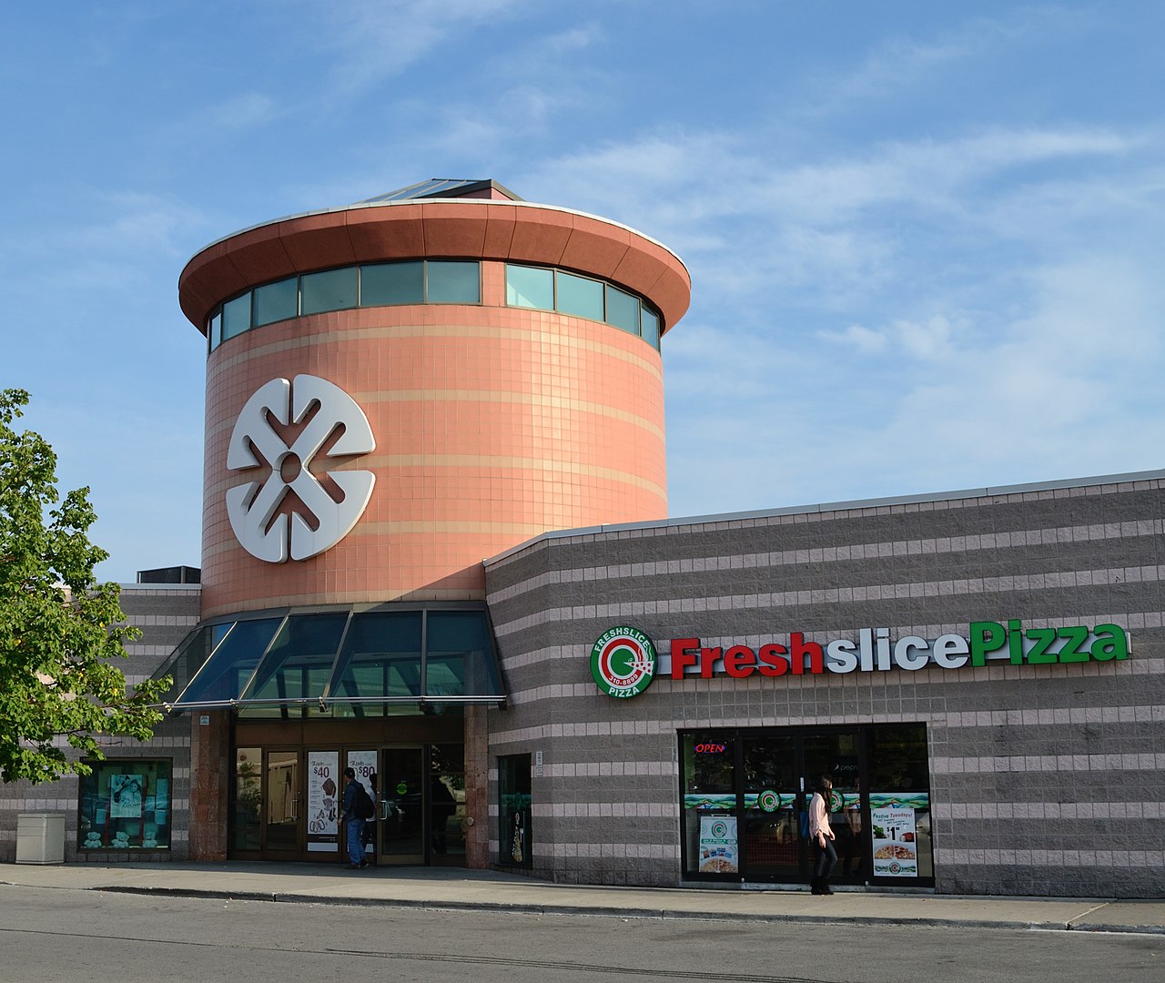
Steeles functions as an arterial road with heavy local importance: it carries private vehicles, commercial traffic and a variety of public transit services operated by different agencies. Because the avenue sits on or near a municipal border, transit along Steeles requires coordination between multiple agencies; riders commonly encounter services from Toronto, York Region and Peel systems, and inter-agency arrangements affect routing and fares. The street is lined with diverse land uses, including retail plazas, strip malls, office buildings, community facilities and residential neighborhoods, which together make it an active commercial corridor.
Notable characteristics and distinctions
- Boundary role: Steeles is one of the most prominent streets used to mark Toronto's northern limit, producing differences in maintenance, signage and planning on either side.
- Cross-regional continuity: Although its management is split among municipalities and regions, the roadway remains a largely continuous route that connects many parts of the western and eastern GTA.
- Urban corridor: The avenue exemplifies suburban-commercial development along major arterials, with frequent intersections with north–south roads and a mix of land uses that reflect the area's growth over the 20th and 21st centuries.
Further information
For municipal maps, transit details and planning documents related to Steeles Avenue consult the websites and resources of the City of Toronto, York Region and neighbouring regional authorities. Historical local histories and regional transportation plans provide deeper context on the avenue's development and its role in the evolving urban fabric of the GTA.
Boundary reference • City reference • Region reference • Province reference • Brampton reference • Hamilton reference
Related articles
Author
AlegsaOnline.com Steeles Avenue — Toronto's northern boundary and Greater Toronto arterial road Leandro Alegsa
URL: https://en.alegsaonline.com/art/93637
Sources
- worstroads.ca : "Ontario's Worst Roads Final Results"