Siskiyou County, California: overview, landscape, history, and communities
Siskiyou County is California’s northernmost county on the Oregon border. Rugged mountains, Mount Shasta, forests and rivers shape its economy and recreation; Yreka is the county seat.

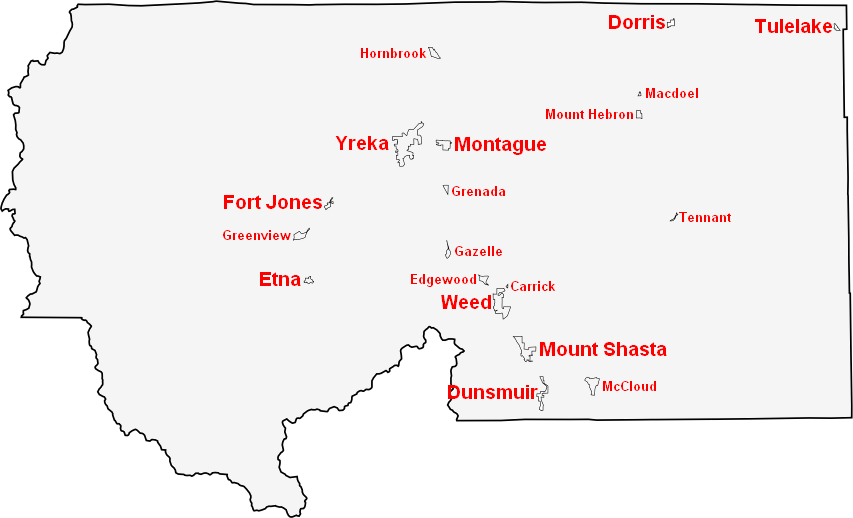
Overview: Siskiyou County lies in the far northern corner of the United States northernmost portion of the U.S. state of California. A largely rural area of mountains, forests and river valleys, the county had a population of about 44,900 according to the 2010 census. The administrative center and county seat is Yreka, located along historic travel routes and modern highways such as Interstate 5 (Yreka appears here as the local hub).
Image gallery
10 Images


Geography and natural features
Siskiyou County occupies part of the Cascade Range and includes prominent volcanic and wilderness landmarks. The area is crossed by the western slopes of the Cascade Mountains and shares a long boundary with the state of Oregon. Mount Shasta, extensive national forests, wild rivers and alpine lakes define its scenery and biodiversity.

Elevations vary from low river valleys to high volcanic peaks. The landscape supports mixed conifer forests, meadows, and habitats that are important for wildlife and fisheries. Protected areas and national forest lands make up a significant portion of the county.
History, economy and recreation
Native peoples lived here for millennia; Euro-American settlement intensified in the 19th century along trails and during gold rushes. The modern economy blends forestry, ranching, agriculture and tourism. Outdoor activities — hiking, fishing, skiing, rafting and mountain climbing — attract visitors to natural features and wilderness areas.
Communities and notable facts
- Major communities include Yreka and smaller towns such as Weed and Mount Shasta.
- Interstate 5 is the principal north–south route; historic trails influenced settlement patterns.
- The county is noted for scenic volcanic peaks, biological diversity and extensive public lands.
Siskiyou County combines remote wilderness character with towns that serve regional commerce and services; its natural resources and recreational assets are central to local identity and economy.
Related articles
Author
AlegsaOnline.com Siskiyou County, California: overview, landscape, history, and communities Leandro Alegsa
URL: https://en.alegsaonline.com/art/90781
Sources
- quickfacts.census.gov : "State & County QuickFacts"
- naco.org : "Find a County"