Rangpur Division: northern administrative region of Bangladesh
Rangpur Division is the northernmost administrative division of Bangladesh, created in 2010. It comprises eight districts, about 58 subdistricts, major education centres, and an agriculture-based economy.
Rangpur Division is the northernmost administrative region of Bangladesh. Formally established on 25 January 2010, it was carved out of the northern part of Rajshahi Division to provide more focused administration and development for the region. According to the 2011 population census the division had roughly 15.7 million residents. Its principal urban centres are the cities of Rangpur and Dinajpur, which act as hubs for education, health services and trade.
Geography and climate. Rangpur Division occupies a mostly flat, alluvial plain in the lower Ganges-Brahmaputra delta region, crossed by rivers such as the Teesta and its tributaries. The landscape includes fertile floodplains and seasonal wetlands; monsoon rains between June and September bring most annual precipitation and can cause widespread flooding. The climate is subtropical with hot, humid summers and mild winters. To the north and west the division shares an international border with India, influencing cross-border trade and cultural exchange.
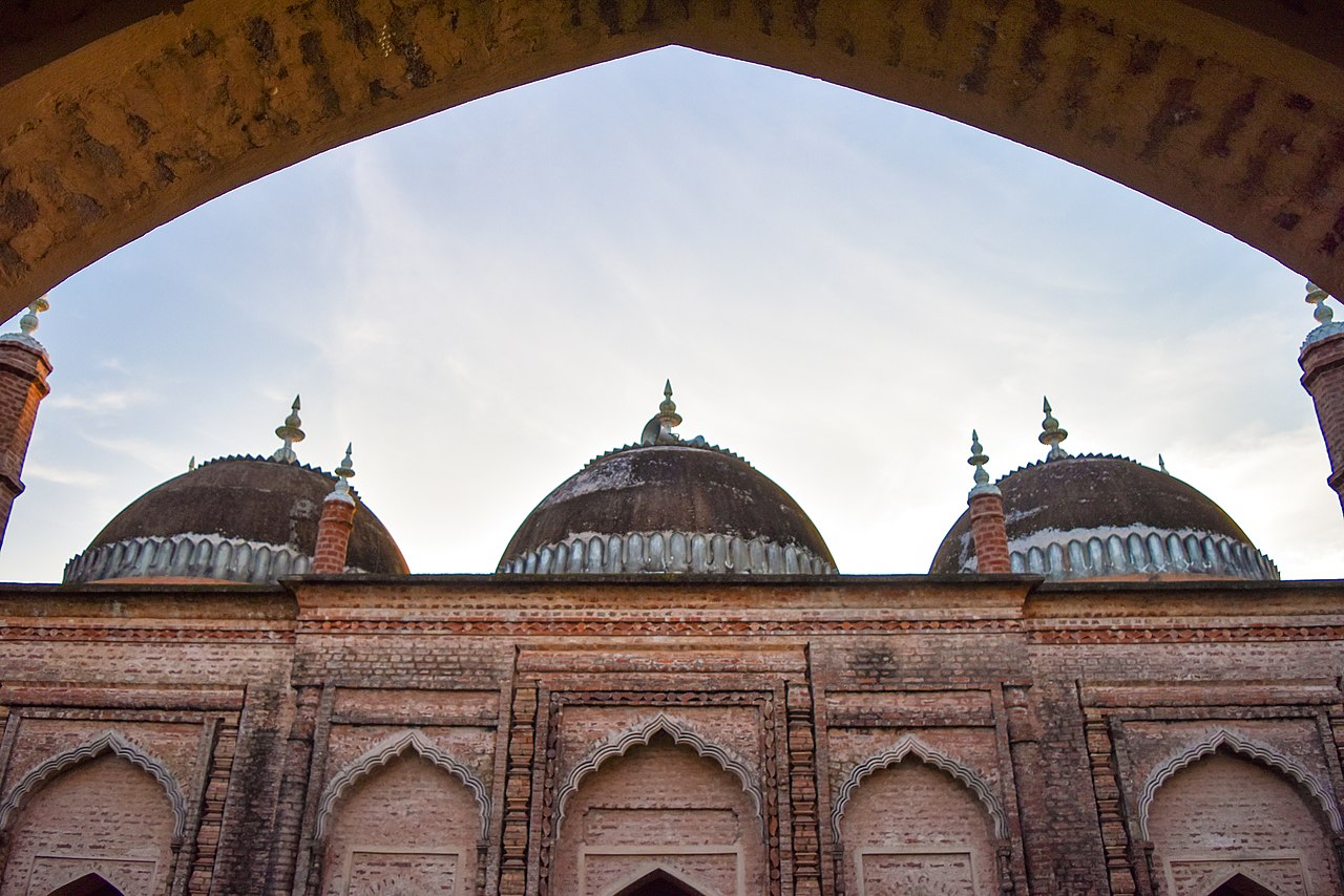
Image gallery
10 Images


Districts and administration
The division consists of eight districts and, in total, about 58 subdistricts (upazilas). Each district is responsible for local administration, law and order, and development planning. The districts are:
- Rangpur District — the divisional headquarters and an educational centre
- Dinajpur District — known for agriculture and historical sites
- Kurigram District — riverine plains prone to seasonal flooding
- Gaibandha District — agricultural landscapes and river systems
- Nilphamari District — transport links and market towns
- Panchagarh District — the northernmost district with hilly pockets
- Thakurgaon District — mixed farming and trade
- Lalmonirhat District — rail connections and cross-border routes
Local governance. District administrations coordinate with upazila and municipal authorities to deliver public services. The creation of Rangpur Division aimed to decentralize decision-making, accelerate infrastructure projects and improve health and education outcomes in the historically less-developed northern area.
Economy, infrastructure and education
The economy remains largely agricultural, with rice, potatoes, sugarcane, jute and tobacco among principal crops. Rangpur is also associated with citrus cultivation—especially the local lime variety—and with small- to medium-scale agro-processing industries. Cash crops and seasonal vegetables supply domestic markets and contribute to trade across the border with India. Transport infrastructure includes a network of national highways and rail links; Saidpur and other regional airports provide limited domestic air services.
Education has expanded in recent decades. Notable institutions include Carmichael College and Rangpur Medical College in Rangpur city, Hajee Mohammad Danesh Science and Technology University, Begum Rokeya University in Rangpur, and several colleges and cadet institutions that serve students from across the division. These centres have helped diversify the local economy by producing graduates in science, medicine and education.
Culture, history and contemporary challenges. The division is home to a variety of Bengali dialects and cultural traditions, including folk music, rural crafts and seasonal festivals tied to the agricultural calendar. Rangpur's formation in 2010 is a recent administrative milestone intended to boost public services and regional planning. Challenges remain: flood management, seasonal food security, rural poverty and improving transport and industrial investment. Ongoing government and local initiatives focus on irrigation, road improvement, health services and education expansion to raise living standards.
For further reading and official resources see: national portals, administrative notes on Rajshahi Division, and district-level information for Rangpur, Kurigram, Gaibandha, Nilphamari, Panchagarh, Thakurgaon and Lalmonirhat.
Related articles
Author
AlegsaOnline.com Rangpur Division: northern administrative region of Bangladesh Leandro Alegsa
URL: https://en.alegsaonline.com/art/81146
Sources
- travelsradiate.com : "Rangpur"