Qinling Mountains: natural boundary and biodiversity corridor in central China
Major east–west mountain range in central China, forming a climatic and cultural divide and hosting rich, often endemic flora and fauna under increasing conservation focus.
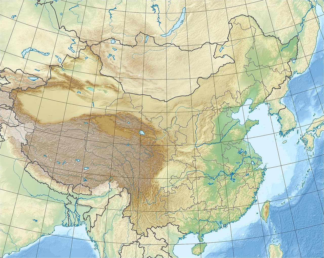
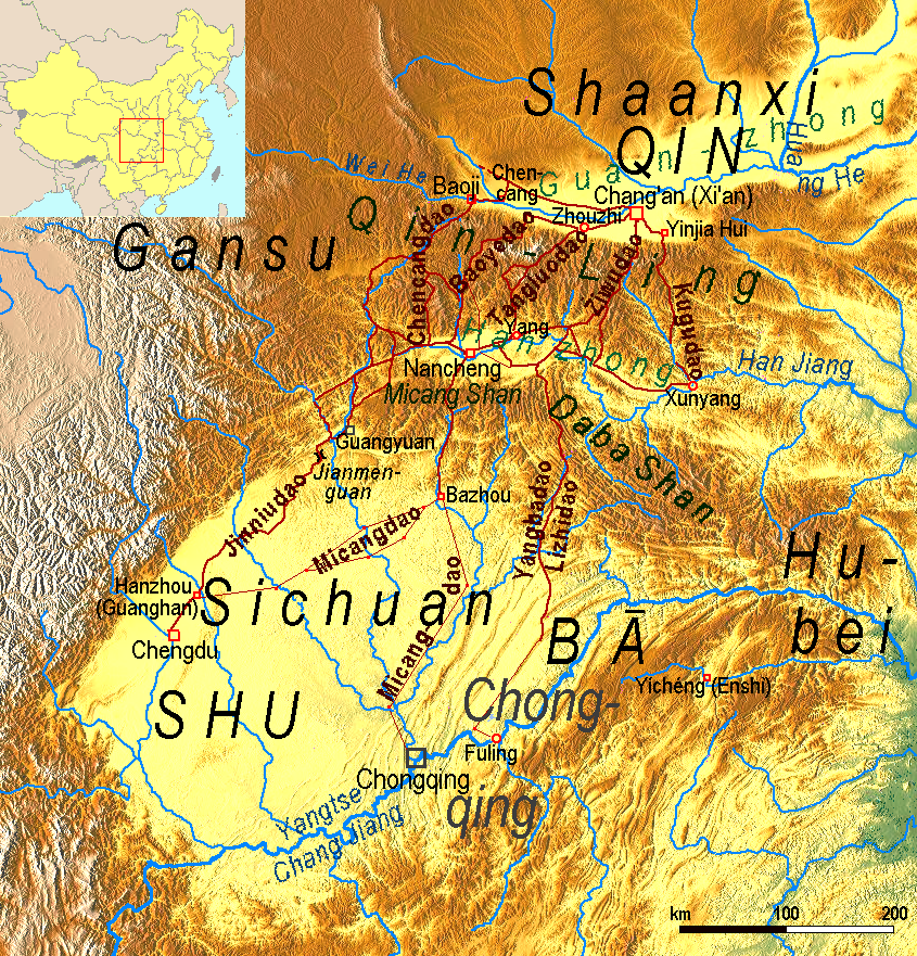
The Qinling Mountains form a prominent east–west chain in central China that separates northern and southern China in climate, hydrology and culture. Largely located in Shaanxi province, the range also reaches into neighbouring provinces and marks a major geographic divide. The mountain system has long been referred to as the line between China’s temperate north and subtropical south and plays a central role in the country’s physical and human geography. Qinling Mountains, Shaanxi and China are often discussed together in accounts of the region.
Image gallery
5 Images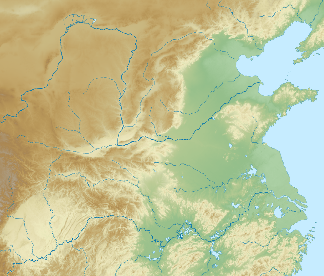


Physical characteristics
The range extends for several hundred kilometres in an arc across central China. Peaks vary from modest ridges to high summits; the best-known high point is Mount Taibai, which rises to roughly 3,700 metres. The Qinling act as a watershed between northern river systems and those that flow southward toward the Yangtze. Their complex topography produces steep valleys, forested slopes and a mosaic of microclimates that influence local weather and agriculture.
Ecology and species
Ecologically the Qinling are a transitional zone where temperate deciduous forests meet subtropical vegetation. This mixing of biomes supports a high diversity of plants and animals and a significant number of endemics. The mountains are home to many important species, including large mammals and specialized forest flora. Conservationists emphasize the range’s role as both a refugium during past climatic shifts and a corridor for contemporary species movement. Examples include:
- Rich plant communities from low-elevation evergreen woods to montane deciduous forests — plants.
- Characteristic mammals and birds, including populations of giant pandas and the golden snub-nosed monkey — examples of regional wildlife.
- High overall biodiversity and many localized taxa identified by researchers and conservation groups — see materials on biodiversity.
History and human importance
The Qinling have shaped human settlement, transport and political boundaries for millennia. The range gave its name to the ancient state of Qin and served as a natural barrier that influenced historical routes and regional identities. Mountain passes have been strategically important, while valleys supported farming communities adapted to slope agriculture and terracing.
Today the Qinling continue to be valued for water resources, timber (historically), cultural heritage and tourism. At the same time their ecosystems face pressures from development, infrastructure and past exploitation, prompting establishment of nature reserves, targeted conservation programs and restoration projects to protect habitat and species. For up-to-date resources and protected-area information, consult regional conservation literature and official reserve descriptions at the links above.
Related articles
Author
AlegsaOnline.com Qinling Mountains: natural boundary and biodiversity corridor in central China Leandro Alegsa
URL: https://en.alegsaonline.com/art/80337