Baarle-Hertog: Belgian municipality with complex enclaves
Baarle-Hertog is a Belgian municipality in Antwerp province famous for its dozens of Belgian exclaves inside the Netherlands, a medieval border mosaic that affects addresses, services and tourism.
Overview
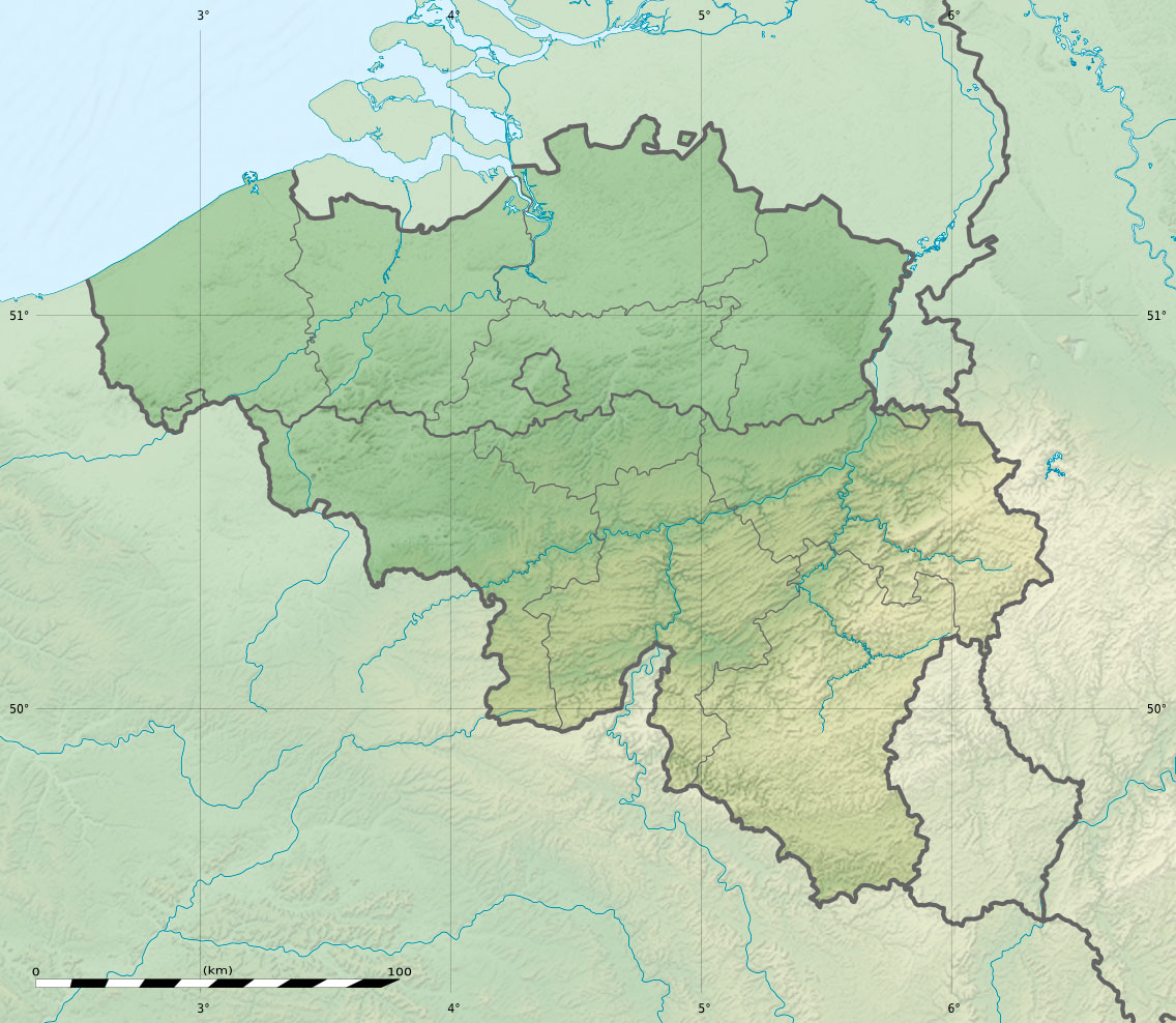
Baarle-Hertog is a Belgian municipality that belongs to the Belgian state (Belgium) and the province of Antwerp. It is unusual because it consists of many small Belgian parcels surrounded by Dutch territory; these Belgian pieces are enclaves or exclaves inside the Netherlands. The surrounding Dutch municipality is Baarle-Nassau, in the province of North Brabant (the Netherlands).
Image gallery
6 Images


Geography and layout
The municipality is not a single contiguous area but a patchwork: dozens of separate Belgian parcels sit within Dutch land, and some Dutch counter-enclaves exist inside those Belgian parcels. The boundary lines run through streets, gardens and even buildings, with markers, plaques and painted lines that show the international frontier. Coordinates commonly cited for the town center are about 51°26′N, 4°55′E.
History and origins
The fragmented border grew from medieval feudal land divisions and centuries of local agreements between nobles, monasteries and towns. Rather than redraw ownership in later treaties, negotiators preserved historic land rights, producing the present-day mosaic. Over time national governments formalized the map but retained the patchwork character.
Administration and daily life
Residents live under Belgian law and municipal government, but they are physically surrounded by Dutch territory. Practical matters such as postal addresses, utilities, taxation and policing follow the legal border, so neighbors on opposite sides of a wall may deal with different administrations. Shops and cafés sometimes choose which country's rules to follow by situating their main entrance on one side of the borderline.
Tourism and notable features
Baarle-Hertog attracts visitors curious about borders: walking routes show how the international line weaves through the town, and building plaques identify which country a room belongs to. The unusual arrangement makes the municipality a popular case study in cartography, international law and local governance.
Practical points
- Population numbers vary; for example, about 2,300 inhabitants were recorded in the early 21st century.
- The border pattern creates practical complications but also unique local identities and cross-border cooperation.
- Many maps and guides illustrate the enclave pattern; for further reading see local municipal sources and regional atlases (local municipality, national pages, province).
Related articles
Author
AlegsaOnline.com Baarle-Hertog: Belgian municipality with complex enclaves Leandro Alegsa
URL: https://en.alegsaonline.com/art/8003
Sources
- statbel.fgov.be : Population per municipality as of 1 January 2016
- statbel.fgov.be : Werkelijke bevolking per gemeente op 1 januari 2007 / Population de droit par commune au 1 janvier 2007 (.xls)
- statbel.fgov.be : Geografische coördinaten van de gemeenten (.xls)