Pico da Neblina: Brazil's Highest Peak in Amazonas near the Venezuela Border
Pico da Neblina, Brazil's highest peak (nearly 3,000 m) in Amazonas near the Venezuela border. Remote cloud-forest landscape rich in biodiversity; access is limited and regulated, often requiring river travel and permits.
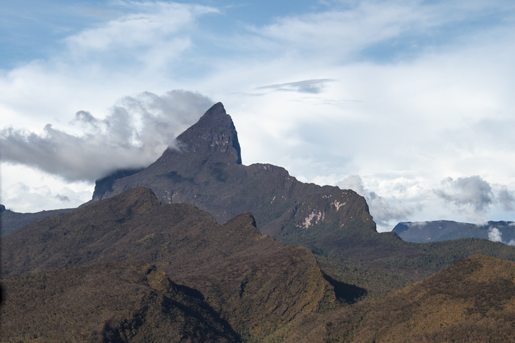
Pico da Neblina is the highest point in Brazil, rising to nearly 3,000 metres above sea level. The mountain lies in the state of Amazonas, close to the international border with Venezuela, and sits within the Negro River basin.
Image gallery
3 Images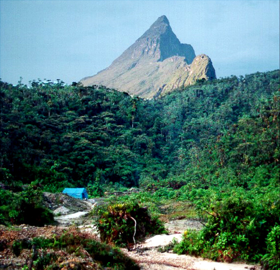

Geography
The peak is part of a remote upland region of northern Amazonas. Its slopes are dominated by dense rainforest and cloud forest at higher elevations. Because of its location near the frontier with Venezuela, the surrounding terrain forms a transition zone between lowland river systems and the Guiana Shield uplands.
Access and protection
Pico da Neblina is difficult to reach. Approaches typically require long river journeys and forest hiking; travel in the area is regulated because the mountain lies inside protected lands and adjacent indigenous territories. Visitors usually need official permits to enter the park and surrounding areas.
Environment
The mountain and its surroundings support a variety of Amazonian and montane species, with vegetation changing from lowland rainforest to stunted cloud forest near the summit. The site is important for biodiversity and for Indigenous communities that use the land.
Related articles
Author
AlegsaOnline.com Pico da Neblina: Brazil's Highest Peak in Amazonas near the Venezuela Border Leandro Alegsa
URL: https://en.alegsaonline.com/art/76740