Pico Ruivo — Highest Peak of Madeira
Pico Ruivo is the highest point on Madeira island (1,862 m). This article summarizes its location, geography, natural environment, hiking routes and significance within Portugal's mountain peaks.
Overview
Pico Ruivo (Portuguese for "red peak") rises to about 1,862 metres and is the highest summit on the island of Madeira. It is also widely cited as the third-highest point in Portugal after Mount Pico in the Azores and Torre in continental Portugal. The peak sits within the Central Mountainous Massif and lies administratively in the municipality of Santana.
Image gallery
6 Images


Geography and neighbouring summits
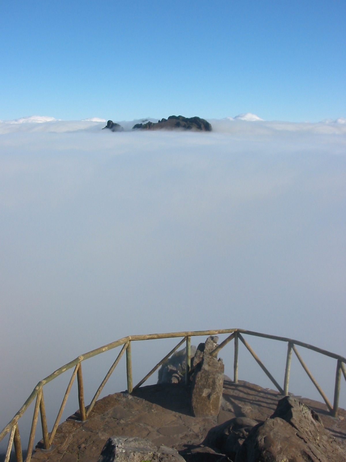
Pico Ruivo forms part of a rugged volcanic backbone that shapes Madeira’s interior. Nearby high points include Pico das Torres (about 1,850 m) and Pico do Arieiro (about 1,818 m). The area features steep ridges, deep valleys and dramatic viewpoints that are accessible only on foot from marked mountain paths rather than by road all the way to the summit.
Trails and visiting
The summit is popular with hikers because several well-maintained trails converge there. One of the most frequented routes connects Pico Ruivo with Pico do Arieiro along an exposed ridge offering panoramic views; other approach paths climb from different valleys. Trails vary in difficulty and can be steep and exposed in places. Weather changes quickly at these elevations, so visitors are advised to carry appropriate clothing, navigation aids and sufficient water.
Natural environment
The surroundings of Pico Ruivo include remnants of Madeira’s laurel forest ecosystem and a variety of endemic plants adapted to montane conditions. The island’s landscape around the peak reflects its volcanic origin and supports habitats for specialized flora and some bird species. Much of Madeira’s laurisilva is recognized for its ecological value at international levels, and the mountain scenery contributes to the island’s conservation interest.
Significance and practical information
As Madeira’s highest point, Pico Ruivo is both a geographic landmark and a focal point for outdoor recreation. It provides extensive views on clear days and is frequently included in guided hikes and long-distance walking itineraries. Because conditions can be harsh and paths exposed, visitors should prepare for fog, wind and rapid temperature changes. Information about local routes, safety and access is available from regional visitor centers and hiking guides.
- Elevation: c. 1,862 m
- Location: Central Mountain Massif, municipality of Santana
- Nearby peaks: Pico das Torres, Pico do Arieiro
- Access: by foot on marked mountain trails
Questions and answers
Q: What does Pico Ruivo mean?
A: Pico Ruivo means "red peak" in Portuguese.
Q: Where is Pico Ruivo located?
A: Pico Ruivo is located on the island of Madeira.
Q: How tall is Pico Ruivo?
A: Pico Ruivo is 1,862 meters (6,109 feet) tall.
Q: Is Pico Ruivo the highest point in Portugal?
A: No, Pico Ruivo is the third highest summit in Portugal. Mount Pico in Pico Island, Azores, and Torre in continental Portugal are the first and second highest summits, respectively.
Q: What other high mountains are located in the municipality of Santana?
A: The Pico das Torres, with 1,850 meters (6,070 feet) and the Pico do Arieiro, with 1,818 meters (5,965 feet) are also located in the municipality of Santana.
Q: In what massif is Pico Ruivo located?
A: Pico Ruivo is located in the Central Mountainous Massif.
Q: Which municipality is Pico Ruivo located in?
A: Pico Ruivo is located in the municipality of Santana.
Related articles
Author
AlegsaOnline.com Pico Ruivo — Highest Peak of Madeira Leandro Alegsa
URL: https://en.alegsaonline.com/art/76744
Sources
- peakbagger.com : "Pic Ruivo, Portugal"
- madeirahelp.com : "Madeira Geography: Highest altitudes of Madeira islands"
- madeiraislands.travel : "Vereda do Areeiro"