Navi Mumbai — planned satellite city near Mumbai, India
Navi Mumbai is a large planned satellite city on the west coast of Maharashtra, India, developed to relieve Mumbai's growth. It is known for its zoned neighborhoods, transport links and ongoing infrastructure projects.
Overview
Navi Mumbai is a planned satellite city developed on the western coast to provide an organized alternative to the dense fabric of Mumbai. Conceived in the early 1970s, it lies in the state of Maharashtra in India and was created to distribute population growth, industry and services outside the older city.
Image gallery
10 Images


Planning and development
The city was laid out under a coordinated master plan with the aim of separating residential, commercial and industrial zones while reserving space for parks, institutions and civic facilities. A government agency oversaw land assembly and phased development, providing a framework for utilities, roads and public amenities.
Layout and neighbourhoods
Navi Mumbai is organized into distinct nodes or sectors designed to be self-contained. Major nodes include:
- Vashi — one of the earliest commercial and transit hubs
- Belapur and Nerul — administrative and residential centres
- Kharghar and Airoli — mixed residential and educational areas
- Panvel and Ulwe — expanding suburbs with new infrastructure projects
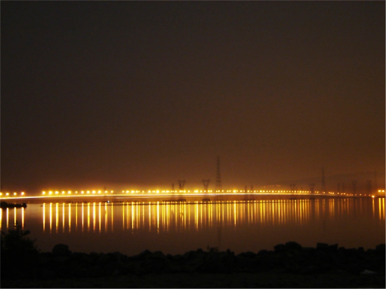
Transport and infrastructure
Transport planning emphasizes rail connections to Mumbai, an internal road network and planned rapid transit. Several large projects — including a new airport site and major road bridges linking to Mumbai — have increased the city's strategic importance. Local public transport, suburban trains and bus services serve daily commuters and support regional growth.
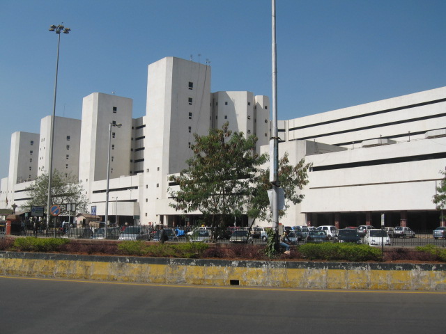
Economy and significance
The city hosts a mix of residential districts, business parks and light industrial areas. Its planned layout attracts educational institutions, corporate offices and retail centres, which together help decentralize employment from the older metropolitan core. Real estate, services and logistics are important local sectors.
Notable facts and distinctions
Navi Mumbai is often cited as a prominent example of large-scale planned urban development intended to reduce pressure on an adjacent megacity. Its phased approach to land use and infrastructure has been studied as a model for other satellite town projects. Ongoing expansion and transport investments continue to shape its role in the region.
For further detail on the city’s governance, master plans and current projects see official and municipal sources: city planning overview, regional context, state resources and national information.
Related articles
Author
AlegsaOnline.com Navi Mumbai — planned satellite city near Mumbai, India Leandro Alegsa
URL: https://en.alegsaonline.com/art/68849
Sources
- scholar.lib.vt.edu : The Urban Social Pattern of Navi Mumbai, India
- digbib.ubka.uni-karlsruhe.de : NeoTowns – Prototypes of Corporate Urbanism