La Paz Municipality (State of Mexico)
La Paz is an urban municipality in the State of Mexico adjacent to Mexico City. Its seat is Los Reyes Acaquilpan; the area has Nahuatl roots and forms part of the eastern suburbs of Greater Mexico City.
Overview
La Paz is a densely settled municipality of the State of Mexico whose administrative seat is the town of Los Reyes Acaquilpan. Located immediately east of Mexico City, it functions largely as part of the metropolitan continuum known as Greater Mexico City. Municipal authorities oversee local planning, public services and community programs for a primarily urban population that is closely integrated with the capital's economy and transport networks.
Image gallery
7 Images


Geography and administration
Geographically the municipality occupies a narrow, heavily urbanized strip along the eastern edge of the Federal District, sharing a long border with Mexico City. It is administered as a municipality of the State of Mexico, with local delegations, neighborhoods and service districts managing schools, markets and basic infrastructure. Its proximity to the capital places it within commuting distance for many residents who travel daily into the Federal District for work.
History and name
The territory was historically part of a region referred to in Nahuatl as Atlicpac, commonly interpreted as "above or at the edge of water." This toponym reflects pre-Hispanic settlement patterns and the presence of local watercourses and springs in earlier periods. For language context see Nahuatl. Modern municipal identity draws on these roots while functioning within the political structure of Mexico.
Demographics and urban character
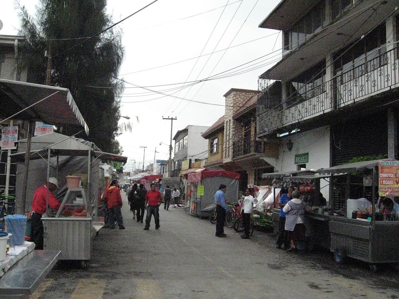
La Paz is predominantly urban and residential, with a mixture of commercial corridors, small manufacturing and service industries. The municipality has absorbed population growth associated with Mexico City's metropolitan expansion, resulting in dense neighborhoods, mixed land use and evolving demands for housing, transport and public amenities.
Economy and transport
The local economy combines neighborhood commerce, workshops and light industry. Many residents commute to employment centers in the Federal District and other parts of Greater Mexico City by road and public transit. Major arterial roads and bus routes link the municipality to adjacent boroughs of the capital; these connections shape daily life and economic ties across the metropolitan region.
Culture, symbols and civic identity
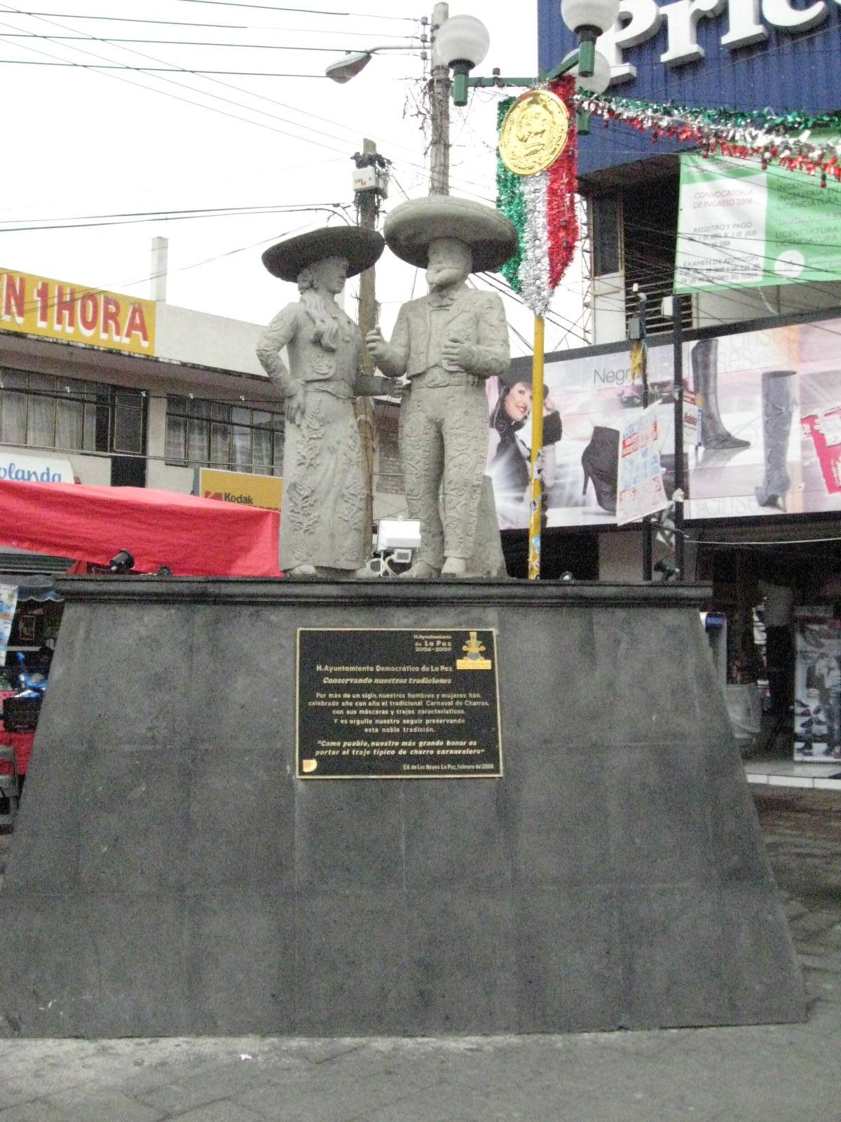
Los Reyes Acaquilpan serves as the political and cultural center of the municipality. Civic symbols recall the area's pre-Hispanic past: the municipal glyph evokes water and local toponymy, a motif visible in official emblems and descriptions of the municipal glyph. Local festivals, markets and parish traditions reflect the blended indigenous and colonial heritage of the region.
Challenges and public services
As part of a large metropolitan area, La Paz faces common urban challenges: pressure on infrastructure, waste management, provision of green spaces and the coordination of services with neighboring jurisdictions including the Federal District. Municipal authorities work on planning, public safety and social programs to address these needs while coordinating with state and federal agencies.
References and further reading
For official and civic information consult the municipal profile and resources identified in the local government municipal profile. Regional context is available via broader State of Mexico materials and national references concerning Mexico.
- Municipal seat: Los Reyes Acaquilpan, the administrative and commercial hub.
- Metropolitan role: Acts as an eastern suburb and commuter municipality within Greater Mexico City.
- Cultural roots: Name and symbols reference the Nahuatl-speaking past (Nahuatl).
- Bordering entity: Shares a boundary with the Federal District, creating close administrative and transport links.
- Official sources: See the municipal profile at La Paz and state resources for further details.
Related articles
Author
AlegsaOnline.com La Paz Municipality (State of Mexico) Leandro Alegsa
URL: https://en.alegsaonline.com/art/55054
Sources
- e-local.gob.mx : "Enciclopedia de los Municipios de Mexico Estado de Mexico Los Reyes La Paz"
- tools.wmflabs.org : 19°21′38″N 98°58′48″W / 19.36056°N 98.98000°W / 19.36056; -98.98000