Kunar River (Kunar Rud)
A glacier- and snow-fed river of the Hindu Kush that flows from northwestern Pakistan into eastern Afghanistan, joins the Kabul River near Jalalabad, and contributes to the Indus basin.
Overview
The Kunar River (often called Kunar Rud) is a major mountain river of the Hindu Kush region, running for roughly 480 km and forming an important part of the larger Indus watershed. It drains high-elevation glaciers and seasonal snowfields, carrying meltwater through steep valleys and narrow gorges. The river links remote upland environments in northwestern Pakistan with the lower, agricultural plains of eastern Afghanistan, affecting both natural ecosystems and human communities along its course. It is commonly associated with the regions of northwestern Pakistan and eastern Afghanistan.
Image gallery
4 Images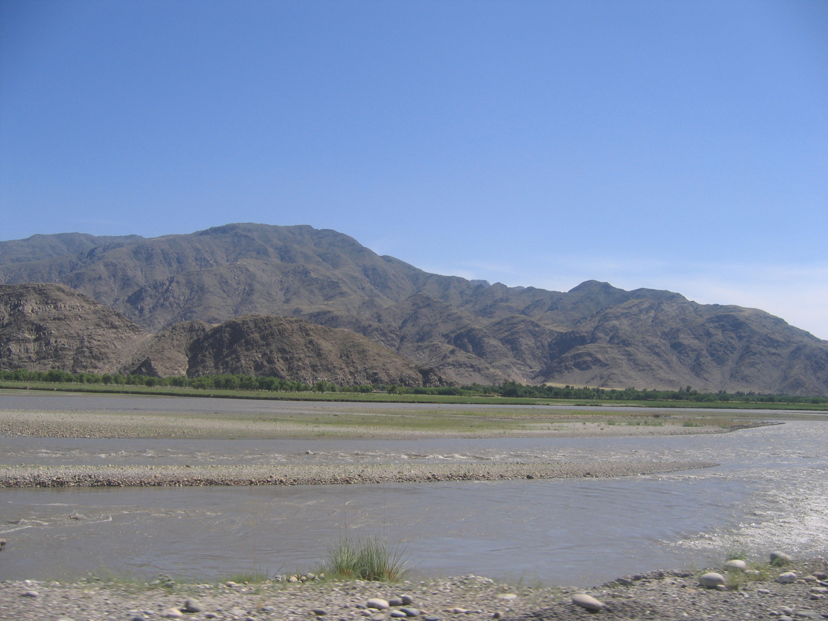


Course and principal tributaries
The headwaters of the system originate in the high peaks of the Hindu Kush. In Pakistan, streams such as the Lutkho and Mastuj join to form the Chitral River near the town of Chitral; this river then enters Afghanistan and is referred to locally as the Kunar. Flowing southward and eastward through the upper Kunar Valley, it gathers additional mountain tributaries before meeting the Kabul River just east of Jalalabad. The combined waters continue eastward and ultimately contribute to the Indus basin via the Kabul River and its junctions with larger rivers downriver.
Hydrology and ecology
The Kunar’s flow regime is dominated by seasonal snow and glacier melt. Discharge tends to peak in late spring and summer as temperatures rise, and to diminish in winter when much of the catchment is frozen. This seasonal variability supports a mosaic of riparian vegetation, high-altitude wetlands, and productive irrigated terraces in lower valleys. The river corridor provides habitat for freshwater fish and for migratory birds that use mountain wetlands, although ecological conditions are sensitive to changes in glacial extent, water withdrawals, and land use in the basin.
Human uses and infrastructure
Communities along the Kunar rely on its water for irrigation, drinking supplies, and local fisheries. The steep gradient of many reaches has made the river attractive for small hydroelectric schemes and irrigation intakes, though large-scale development is constrained by topography, seismic risk and seasonal flow variation. The valley has long carried trade routes, local roads and footpaths that connect upland settlements to market towns. Socioeconomic activities along the river include pastoralism, terraced agriculture and timber collection in accessible zones.
History, strategic importance and contemporary issues
Historically, the Kunar valley has been a conduit between mountain communities and the plains, and has seen episodic strategic importance because of its routes and river crossings. In recent decades the region has faced pressures from conflict, infrastructure development, and environmental change. Key contemporary concerns include sustainable water management, glacial retreat in the Hindu Kush, sedimentation that affects channels and irrigation, and balancing hydropower ambitions with local livelihoods.
Notable facts and related rivers
- The Kunar is closely connected to the Chitral River system: the Lutkho and Mastuj rivers join to form the Chitral, which becomes the Kunar when it enters Afghanistan.
- The Kunar meets the Kabul River near Jalalabad; important downstream links carry waters onward into the larger Indus River basin.
- Because it is glacier-fed, the Kunar’s long-term flow patterns are sensitive to climate-driven changes in snowpack and glaciers.
Related articles
Author
AlegsaOnline.com Kunar River (Kunar Rud) Leandro Alegsa
URL: https://en.alegsaonline.com/art/54597