Arendonk, municipality in the province of Antwerp, Belgium
Arendonk is a Dutch-speaking municipality in the Belgian province of Antwerp, located in the Kempen region. It had about 12,329 inhabitants in 2007 and lies near 51°19′N, 5°05′E.
Overview
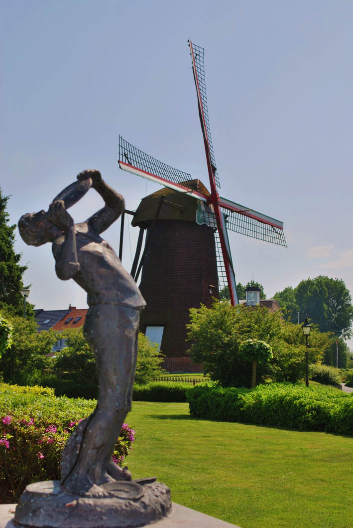
Arendonk is a municipality in the Flemish Region of Belgium, situated in the northeastern part of the province of Antwerp. It lies in the Kempen (Campine) area, a landscape of heath, forests and agricultural land. The locality is Dutch-speaking and has the character of a small town serving surrounding rural communities.
Image gallery
7 Images


Geography and location
Coordinates for the municipal centre are approximately 51°19′ North, 5°05′ East. The territory is typically low-lying and rural, with patches of woodland, farmland and small settlements. Its position within the Kempen influences local soil and vegetation, and provides access to regional road links connecting to larger towns in Antwerp province.
History and development
The settlement that became Arendonk formed in the medieval period as a village on trade and farming routes across the Kempen. Over centuries it evolved from an agrarian community to a modest local centre with small-scale industry, services and civic institutions. Like many places in the region, Arendonk reflects layers of local history from historic parishes to modern municipal administration.
Demography and administration
In 2007 the municipality recorded a population of 12,329 inhabitants. Local government follows the standard Belgian municipal structure with an elected council and mayor responsible for services such as planning, schools and local roads. The population is predominantly Dutch-speaking and participation in regional cultural life follows Flemish customs.
Economy, culture and services
The local economy combines agriculture, small enterprises, shops and local services that serve residents and neighbouring villages. Community life includes local schools, sports clubs and cultural associations typical of Flemish towns. Proximity to larger urban centres in Antwerp province offers wider employment and commercial opportunities for residents.
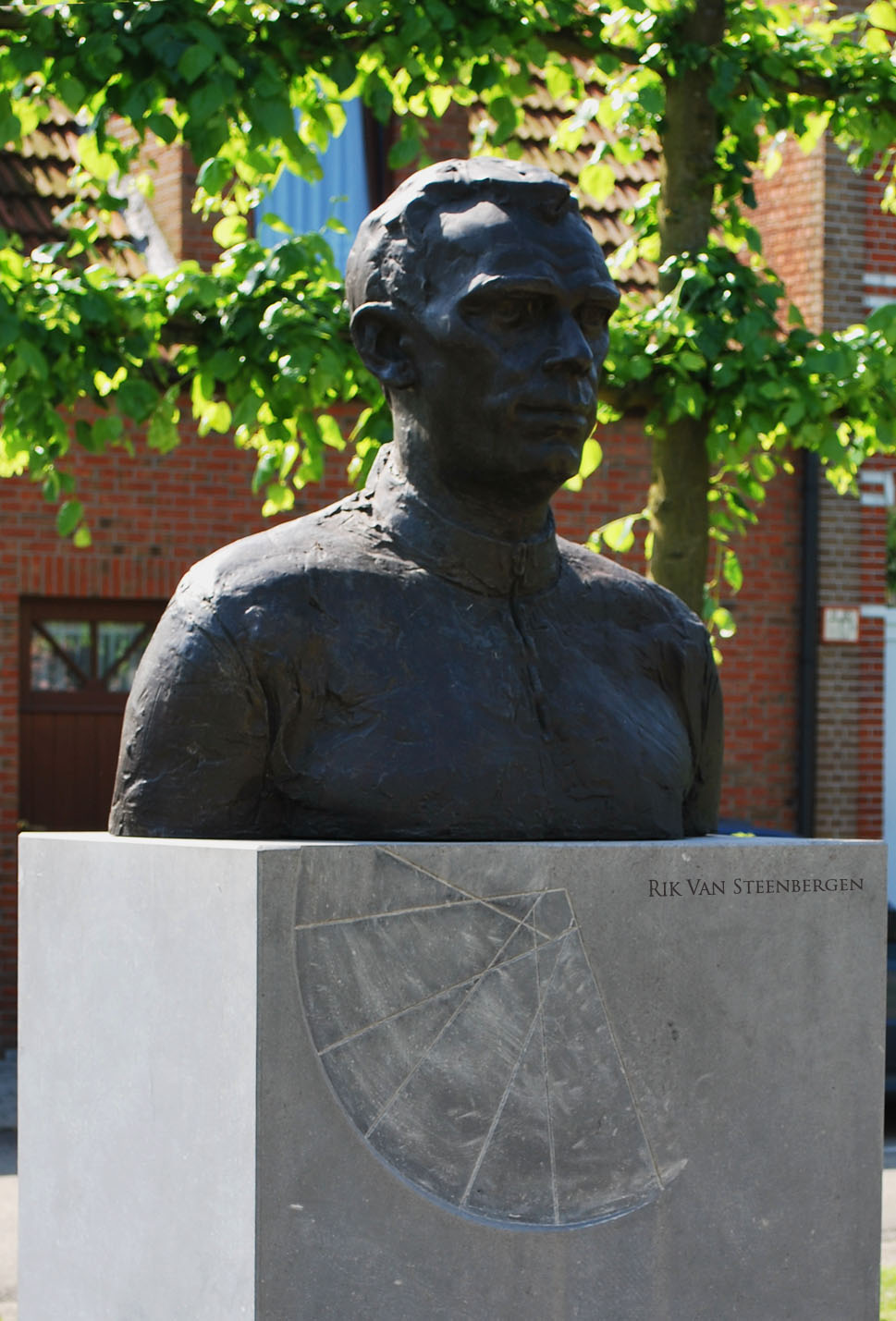
Notable features and distinctions
- Part of the Kempen (Campine) landscape, known for heathland and mixed farmland.
- Functions as a local service centre for surrounding rural areas.
- Coordinates and historical population figures (e.g., 51°19′N, 5°05′E; 12,329 residents in 2007) are commonly cited in basic references.
For municipal details, official contacts and current statistics consult local government sources or regional databases that publish up-to-date figures and administrative information.
Related articles
Author
AlegsaOnline.com Arendonk, municipality in the province of Antwerp, Belgium Leandro Alegsa
URL: https://en.alegsaonline.com/art/5426
Sources
- statbel.fgov.be : Population per municipality as of 1 January 2016
- statbel.fgov.be : Werkelijke bevolking per gemeente op 1 januari 2007 / Population de droit par commune au 1 janvier 2007 (.xls)
- statbel.fgov.be : Geografische coördinaten van de gemeenten (.xls)