
Antelope Valley (California): High Desert Region, History, and Economy
Antelope Valley is a high-desert region in northern Los Angeles County and southeastern Kern County, California. This article covers its geography, history, economy, wildlife, and conservation issues.
Overview
The Antelope Valley lies at the western edge of the Mojave Desert, spanning portions of northern Los Angeles County and the southeastern corner of Kern County. It occupies the basin framed by the Tehachapi, Sierra Pelona and San Gabriel mountains and opens toward the desert interior. Major urban centers that serve as economic and population hubs are Palmdale and Lancaster. The valley’s location within the Mojave Desert and across two counties — Los Angeles County and Kern County — gives it a mix of suburban, industrial and open‑space character.
Image gallery
10 Images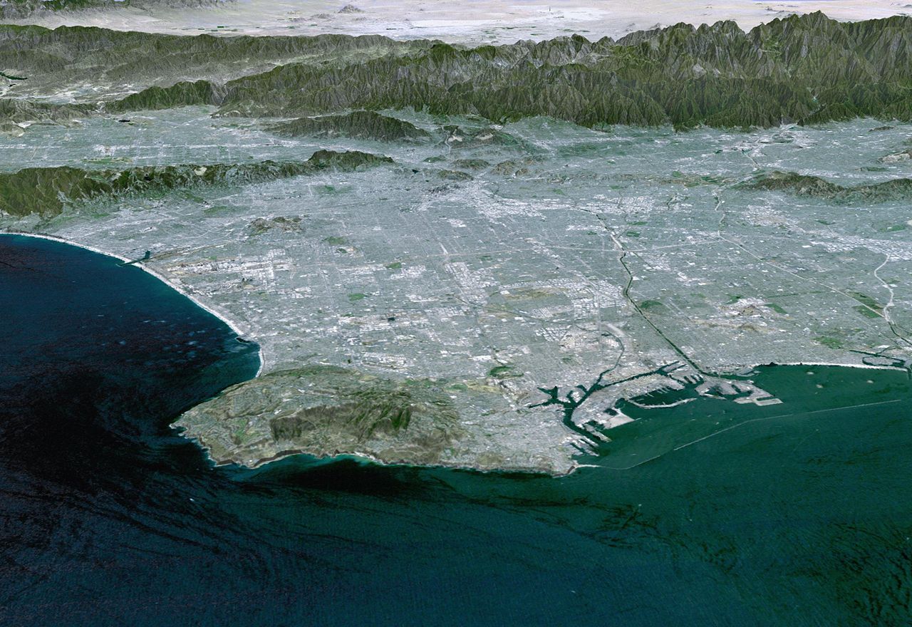


Geography and climate
Antelope Valley is a high, arid basin with broad plains and occasional alluvial fans. Elevation and distance from the ocean produce a continental desert climate: hot, dry summers; cool winters; and large daily temperature swings. Native vegetation includes scrub, sagebrush and desert grasses; spring wildflower displays are a notable seasonal feature. Historically the valley supported wildlife such as the pronghorn (the animal known as the antelope), which gave the area its name but were largely removed or extirpated in the 19th century.
History
Indigenous peoples inhabited and used this region for millennia before European contact, living in small seasonal settlements and using the valley’s resources. During the 19th century the arrival of settlers brought ranching, small farms and intensified hunting; by the late 1800s populations of large native mammals had been greatly reduced. Development accelerated in the 20th century with transportation links and later suburban expansion as the greater Los Angeles area grew.
Economy
The valley’s economy is diverse. Aerospace and defense-related firms and facilities are prominent, supported by nearby test ranges and manufacturing sites. Agriculture persists on irrigated lands, producing a range of crops suited to arid conditions. Renewable energy projects, including wind and solar installations, have also become part of the local land‑use mix.
Transportation and growth
Regional highways provide the main road connections to job centers and to the Los Angeles basin; commuting is a significant factor in residential growth. Public transit and rail links are more limited, so auto travel dominates. Suburban expansion around Palmdale and Lancaster has changed land use and raised questions about water supply, air quality and infrastructure capacity.
Conservation and recreation
Parts of the valley are set aside for conservation and public enjoyment, including reserves known for spring wildflowers. Recreation ranges from hiking and birdwatching to motorsports and organized events at nearby flight and test facilities. Conservation efforts focus on protecting remaining habitat, managing groundwater and balancing development with the valley’s distinctive desert landscape.
Notable facts
- Straddles two counties: Los Angeles County and Kern County.
- Part of the western Mojave: Mojave Desert environment.
- Bounded by the Tehachapi, Sierra Pelona, and San Gabriel mountain ranges.
- Named after pronghorn (antelope) once common to the area.
- Main cities include Palmdale and Lancaster, centers for aerospace and regional services.
Related articles
Author
AlegsaOnline.com Antelope Valley (California): High Desert Region, History, and Economy Leandro Alegsa
URL: https://en.alegsaonline.com/art/4558
Sources
- geonames.usgs.gov : "Antelope Valley"
- books.google.com : 1500 California place names: their origin and meaning