
Garfield County, Colorado
A county in western Colorado centered on Glenwood Springs. Established 1883, noted for river valleys, energy development, outdoor recreation and transportation corridors including I‑70.
Garfield County is a county in western Colorado that combines mountain landscapes, river valleys and small urban centers. The county seat is Glenwood Springs, a community known for hot springs and outdoor recreation. According to the 2010 U.S. Census, the population was 56,389; more recent counts indicate growth linked to energy and recreation economies.
Image gallery
2 Images
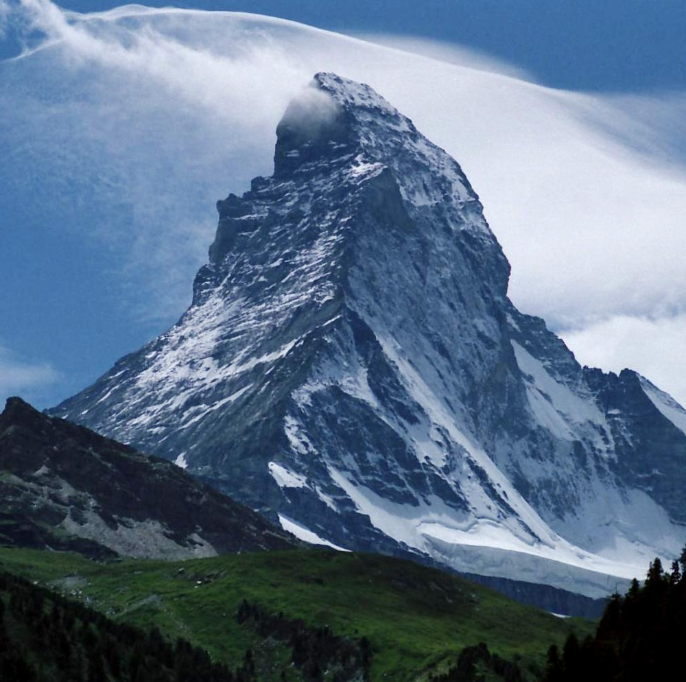
Geography and transportation
Garfield County stretches along parts of the Colorado River corridor and includes tributary valleys. The landscape ranges from broad river plains and agricultural lowlands to forested foothills and peaks. A major east–west highway, Interstate 70, crosses the county and connects its communities with the Front Range and mountain resorts, making the county an important transit and logistics corridor.
History and name
The county was established on February 10, 1883, during a period of territorial organization and settlement in Colorado. It was named in honor of U.S. President James A. Garfield. Early development reflected mining, ranching and later transportation links that encouraged permanent towns and service centers.
Economy and land use
Garfield County's economy is a mix of natural resource development, agriculture and tourism. Energy extraction—particularly natural gas—has had a significant presence, while irrigated farming and ranching persist along river valleys. Recreation and visitor services associated with hiking, rafting and hot springs are important economic drivers and shape land-management priorities.
Communities and recreation
Major communities include Glenwood Springs (the county seat), Rifle, Carbondale, New Castle, Silt and Parachute. Outdoor opportunities are abundant: river recreation, trail networks and proximity to national forest land attract visitors and residents. Public facilities and local governments coordinate services across a mix of small towns and rural areas.
Government and resources
As one of the 64 counties in the state (county list), Garfield County operates under Colorado's county government system with elected commissioners and other officials. Statistical, planning and public-safety information is published by state and federal agencies; for historical context and official records consult county offices and state resources (presidential namesake, census data, and local planning pages at county historical references).
- Rivers: Colorado River corridor and tributaries
- Transport: Interstate 70 and regional highways
- Recreation: hot springs, rafting, hiking, winter sports nearby
- Established: February 10, 1883 (named for President Garfield)
For more detailed demographic, economic and visitor information, official county and state publications and the U.S. Census are recommended starting points (county index, state resources, regional guides, local government).
Related articles
Author
AlegsaOnline.com Garfield County, Colorado Leandro Alegsa
URL: https://en.alegsaonline.com/art/37568
Sources
- quickfacts.census.gov : "State & County QuickFacts"
- naco.org : "Find a County" · web.archive.org
- books.google.com : The Origin of Certain Place Names in the United States