Devon Island — Canada's largest uninhabited island
Devon Island is a vast, mostly ice‑covered Arctic island in Nunavut. Noted for its Haughton impact crater, polar desert environment, and use as a Mars analog for scientific research.
Overview
Devon Island lies in the high Canadian Arctic and forms part of the Canadian Arctic Archipelago. Administratively it is within the Nunavut territory of Canada. With an area of about 55,247 km² (21,331 sq mi) it ranks among the world’s larger islands: commonly cited as the 27th largest island globally and the 6th largest in Canada. It is widely described as the largest island on Earth without a permanent human population.
Image gallery
5 Images

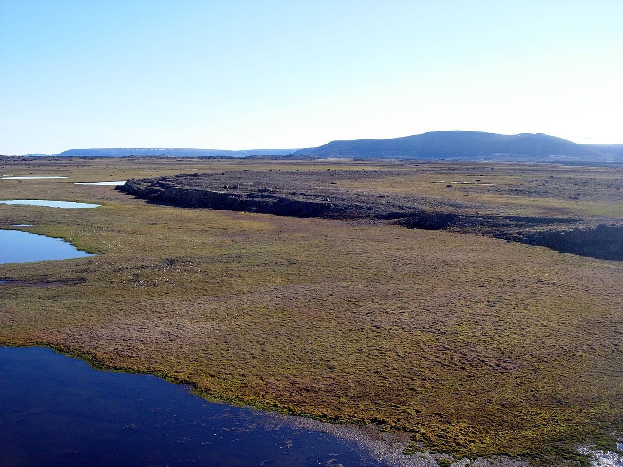


Geography and landscape
The island’s terrain mixes polar desert plains, steep coastal cliffs and small mountain groups. The island’s highest terrain is the Devon Ice Cap, reaching roughly 1,920 metres above sea level and forming part of the Arctic Cordillera. Several compact ranges and uplands cross the interior, including the Treuter Mountains, the Haddington Range and the Cunningham Mountains; these are representative of the island’s broken relief and rocky ridges (mountain ranges).
Geology and the Haughton impact structure
One of Devon Island’s most striking geological features is the Haughton impact crater on the island’s central plateau. The structure was formed by a large meteorite strike around 39 million years ago; the impacting body is estimated at about 2 km in diameter (roughly 1.2 mi), producing a crater approximately 23 km across. In the aftermath the crater hosted a lake for several million years, leaving sedimentary and impact-related deposits that provide researchers with a record of post‑impact environmental change.
Climate, ecology and environment
Devon Island experiences an extreme polar climate: very low temperatures, a short growing season and limited precipitation. Much of the surface is permafrost and bare bedrock; vegetation is sparse and consists mainly of low Arctic plants such as mosses, lichens and small flowering species. Fauna is limited but includes migratory birds, Arctic foxes and occasional marine mammals along the coast when sea ice retreats. Glacial ice in the ice cap and small valley glaciers further shapes local hydrology and soils.
Human activity and scientific importance
There is no permanent settlement on Devon Island, although Indigenous peoples and later explorers have visited the area historically. In recent decades the island has become notable as a field site for polar, geological and astrobiological research. The Haughton crater region is widely used as an analogue for Martian terrain: scientific teams, including planetary scientists and engineers, conduct testing of habitats, rovers and field procedures under harsh Arctic conditions that simulate aspects of Mars exploration.
Notable facts and distinctions
- Area: about 55,247 km², making it one of the largest islands in the world.
- Highest point: the Devon Ice Cap, around 1,920 m.
- Contains the Haughton impact crater: a well‑preserved site that has attracted multidisciplinary study.
- No permanent human population, which contributes to its use as a natural laboratory for remote and extreme‑environment research.
For further reading on regional geography, geology and research activities, see resources on the Queen Elizabeth Islands, regional maps and scientific program summaries available through institutional and territorial archives (archipelago overview, Nunavut, Canada).
Related articles
Author
AlegsaOnline.com Devon Island — Canada's largest uninhabited island Leandro Alegsa
URL: https://en.alegsaonline.com/art/26990