Cyclone Yasi (2011) — Major Queensland tropical cyclone
An overview of Tropical Cyclone Yasi, a powerful Category 5 storm that struck northern Queensland, Australia in February 2011, its impacts on communities, agriculture and ecosystems, and the response and recovery.
Overview
Tropical Cyclone Yasi was a very large and intense tropical cyclone that crossed the northeastern Australian coast in early February 2011. Originating over the Coral Sea, Yasi intensified rapidly and made landfall overnight on 2 February 2011. It is remembered as one of the most significant storms to affect northern Australia in the modern era because of its severity, size and impacts on towns, farms and natural habitats.
Image gallery
9 Images


Meteorological characteristics
Yasi reached the highest classification on the Australian system — Category Five — with extremely strong sustained winds and a broad wind field that affected a long stretch of coastline. The cyclone’s structure included a well-defined eye and eyewall, and it produced intense rainfall and storm surge in exposed coastal areas. Its track brought the system across far-north Queensland, passing between the region’s two larger cities and striking numerous smaller communities directly.
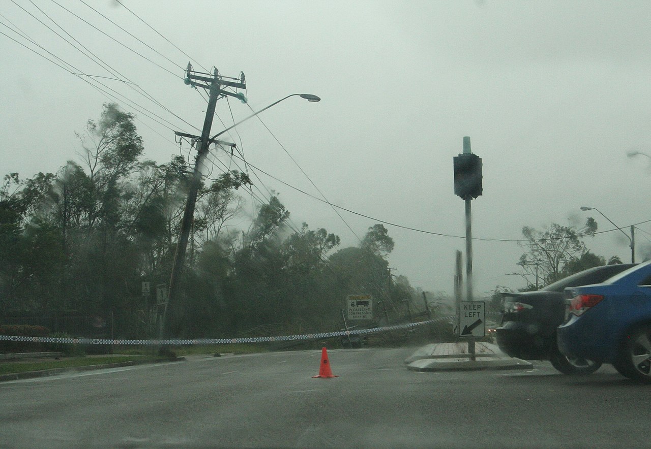
Direct impacts
The storm caused widespread damage to homes, infrastructure and agricultural areas. Many residents were evacuated beforehand and several towns suffered severe property loss:
- Homes and buildings: Hundreds of houses were damaged or destroyed in towns such as northern Queensland communities and smaller coastal settlements. In some places a large portion of housing stock was rendered uninhabitable.
- Power and services: Widespread failure of power distribution left tens of thousands of households without electricity for days to weeks, complicating recovery efforts.
- Human toll: Authorities reported fatalities and injuries associated with the event, including indirect deaths from incidents such as accidental poisoning related to generator use.
Agriculture and environment
Agricultural losses were substantial. The banana industry suffered very heavy damage, and sugar cane and other crops were also badly affected, with early estimates of economic loss reaching into the hundreds of millions of Australian dollars. The cyclone’s force flattened coastal rainforest in places such as Mission Beach, removing shelter and food resources for native fauna. Endangered species such as the Southern Cassowary were particularly vulnerable after canopy loss, prompting wildlife relief and feeding programs. Comparisons were frequently made to earlier storms, including the impacts observed following Cyclone Larry in 2006.
Human response and recovery
Emergency services, government agencies and community groups mobilised to evacuate residents, restore power and provide relief supplies. More than ten thousand people were moved from high-risk areas during the event, and cleanup and rebuilding continued for months. Recovery included both short-term assistance and longer-term programs to support rebuilding homes, restoring farms and rehabilitating damaged ecosystems.
Notable facts and legacy
Although the cyclone missed the region’s largest population centres by passing between them, it remains notable for its intensity and breadth. The episode reinforced the need for robust coastal planning, improved emergency preparedness for remote communities, and targeted conservation work to protect vulnerable wildlife. For general information on tropical cyclones and preparedness, see resources on tropical cyclones and Australian emergency guidance provided by national authorities and local agencies in the Cairns and Townsville regions (Cairns resources).
Related articles
Author
AlegsaOnline.com Cyclone Yasi (2011) — Major Queensland tropical cyclone Leandro Alegsa
URL: https://en.alegsaonline.com/art/24876
Sources
- bbc.co.uk : "BBC News - Queensland survives Cyclone Yasi with no known deaths"
- abc.net.au : "Insurers count the cost of Cyclone Yasi - ABC News (Australian Broadcasting Corporation)"
- heraldsun.com.au : "North Queensland battens down for Cyclone Yasi's fury | Herald Sun"
- couriermail.com.au : "Cyclone Yasi leaves Tully a scene of devastation | Courier Mail"
- heraldsun.com.au : "Eleven cases of looting reported in the aftermath of Cyclone Yasi | Herald Sun"
- northernstar.com.au : "Cyclone threat to cassowary | Northern Rivers News | Local News in Northern Rivers | Northern Star"