Cyclades: The Central Aegean Island Group of Greece
A concise overview of the Cyclades, a central Aegean island group of Greece: geography, main islands, cultural history, administration and economic importance, with examples and distinctions.
Overview
The Cyclades are a widely known archipelago in the central Aegean Sea, traditionally defined by a roughly circular arrangement of islands southeast of mainland Greece. Their approximate location is noted on many maps; see the coordinates. The islands form an important cultural and geographic subregion of Greece, combining larger inhabited islands with numerous smaller islets and rocky outcrops.
Image gallery
10 Images

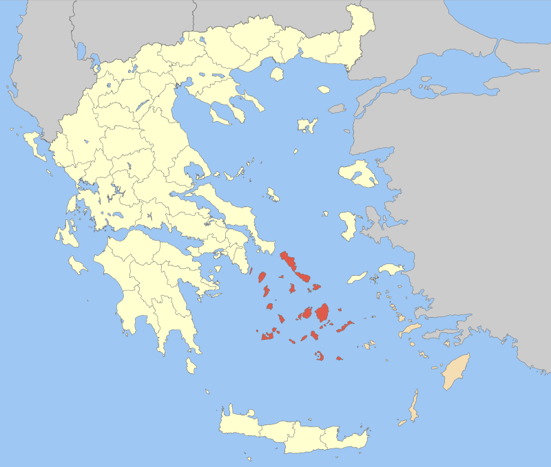


Geography and principal islands
The group extends across open sea and includes islands of varied size, geology and topography. Larger and frequently visited islands include:
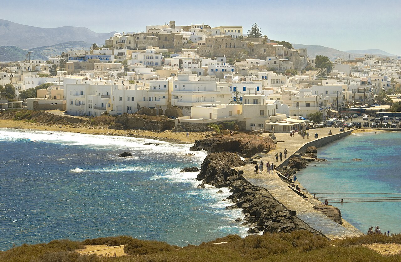
- Naxos — the largest in area with a mix of agricultural land and mountain slopes;
- Andros — noted for its green valleys and maritime heritage;
- Mykonos — internationally known for tourism and nightlife;
- Paros — a center for traditional villages and beaches;
- Milos — volcanic in origin, with striking coastal formations;
- Syros — an administrative and cultural hub;
- Amorgos — rugged and less developed;
- Serifos — known for mining history and simple landscapes.
In addition to those above, islands such as Tinos, Ios, Kythnos, Kea, Sifnos, Sikinos, Folegandros and Anafi contribute to the archipelago's diversity. Many islets remain sparsely inhabited or unused except for seasonal activities.
History and cultural significance
The Cyclades have been inhabited since prehistoric times and played a role in ancient maritime networks. Throughout history they have seen influences from classical Greek civilization, Byzantine and Venetian periods, Ottoman administration and modern Greek statehood. Archaeological finds, traditional architecture and local crafts reflect a layered cultural past. Some islands are particularly famous for medieval settlements, marble quarries or distinctive church and windmill silhouettes.
Administration and population centers
Administratively the group formed a distinct prefectural unit in modern Greece; the islands continue to be organized under regional governance structures and local municipalities — historically referenced as the Cyclades prefecture. The principal administrative center and capital is Ermoupolis on Syros, which developed as a 19th-century port and remains an economic and cultural focal point.
Economy, transport and contemporary importance
Today the Cyclades economy blends tourism, agriculture, fishing and small-scale industry. Popular islands draw seasonal visitors for beaches, festivals and historical sites, while others retain quieter, rural ways of life. Maritime connections — ferries and local boat services — link the islands to each other and to mainland ports, sustaining trade and travel. Conservation and sustainable tourism are frequent policy topics as communities balance development with protection of natural and archaeological resources.
Notable distinctions and practical notes
Each island has its own character: some are volcanic, others largely limestone; some feature dense settlement and nightlife, others quiet trails and traditional villages. Visitors and researchers often consult specialized guides or institutional pages for transport schedules, heritage sites and local regulations. For additional general references see listings and maps associated with the islands and regional authorities (for example, the individual island pages referenced above).
Related articles
Author
AlegsaOnline.com Cyclades: The Central Aegean Island Group of Greece Leandro Alegsa
URL: https://en.alegsaonline.com/art/24857
Sources
- britannica.com : Britannica, Cyclades