
Charles River (Massachusetts)
A short encyclopedia overview of the Charles River: its course from Hopkinton to Boston Harbor, physical features, history of pollution and cleanup, and its recreational and cultural importance.
Overview
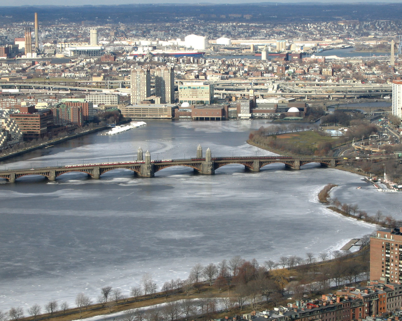
The Charles River is a prominent river in eastern Massachusetts that begins near Hopkinton and flows northeast into the tidal basin of Boston Harbor. Stretching roughly 80 miles, it passes through or alongside many towns and cities and forms a well-known urban boundary between parts of Boston and Cambridge. The lower reaches are an estuary influenced by tides, while the upper sections remain primarily freshwater.
Image gallery
10 Images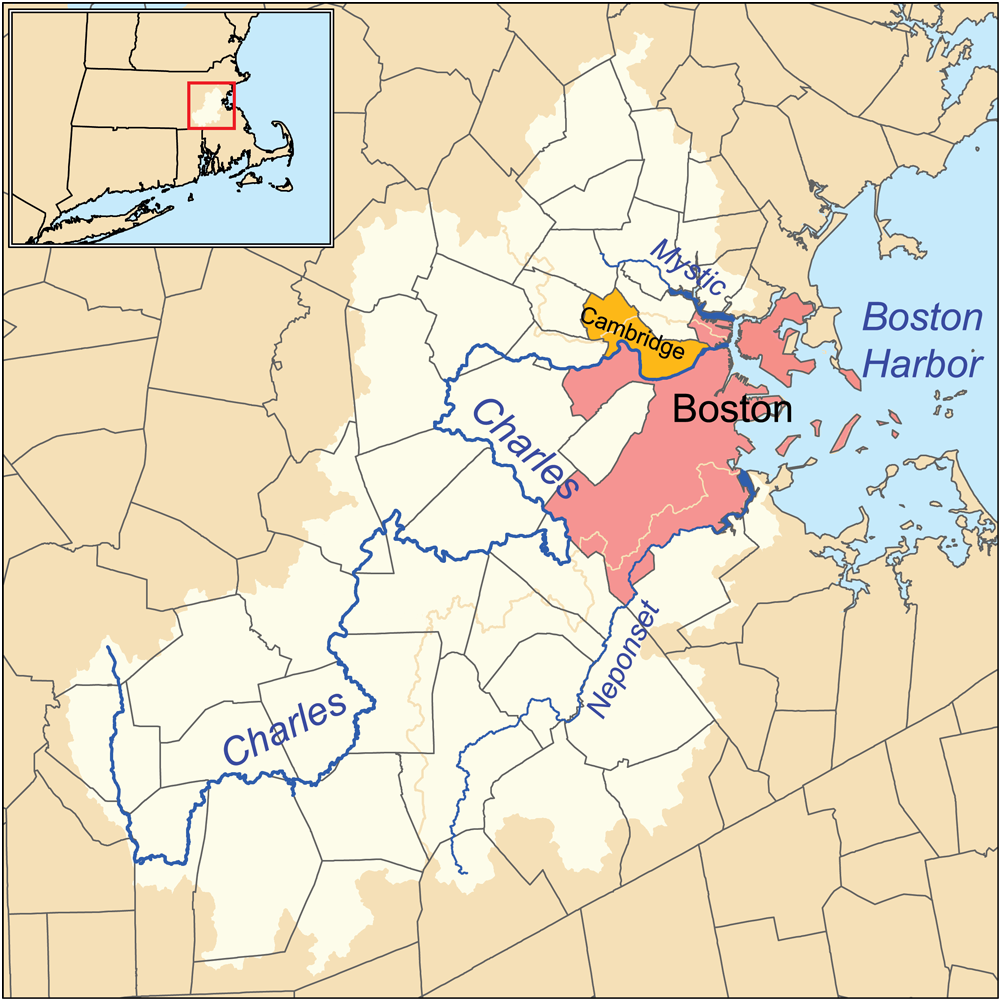


Course and physical characteristics
The river's headwaters rise in central Massachusetts and its channel continues toward the Atlantic, finally discharging into Boston Harbor. Along its course the river narrows and widens, is dammed in places to create reservoirs and millponds, and receives water from small tributaries. The river's banks include parks, promenades and wooded stretches that support local wildlife and provide public access to the water.
History and environmental recovery
Historically the Charles supported industry, transport and small-scale mills, but industrialization and urban runoff degraded water quality through much of the 19th and 20th centuries. Intensive cleanup efforts, tighter pollution controls and investments in sewage treatment have improved conditions, making many stretches safer for boating and wildlife. Conservation groups and municipal agencies continue to monitor habitat and water quality.
Recreation, culture and uses
The river is central to regional recreation: people row, sail, kayak and run or bike along the banks. The annual rowing regatta on the river is one of the region's most visible sporting events and draws competitors and spectators from many places. Numerous parks and greenways, including well-known esplanades and neighborhoods, flank the river and host concerts, festivals and casual gatherings.
Management and infrastructure
Local and state authorities oversee flood control, water quality, dam operation and public access. A series of bridges, pedestrian paths and boathouses connect communities on either side. Ongoing planning balances recreation, habitat protection and urban development, and encourages responsible stewardship by residents and visitors.
Notable facts and further information
- The river links inland communities to the Boston metropolitan waterfront and ultimately the Atlantic Ocean — see outflow and harbor.
- It forms an important urban boundary; maps and tourism pages often highlight the river corridor — see Cambridge–Boston boundary details and local resources at river information.
- For state-level context and management resources consult related Massachusetts pages and organizations: state environmental resources.
Related articles
Author
AlegsaOnline.com Charles River (Massachusetts) Leandro Alegsa
URL: https://en.alegsaonline.com/art/18760