
Camelford, Cornwall
Camelford is a small town in north Cornwall on the River Camel, near Bodmin Moor. It is notable for its rural setting, transport links, local governance, and the 1988 Lowermoor water contamination incident.
Overview
Camelford is a small market town in north Cornwall, in the United Kingdom. It stands in the valley of the River Camel, northwest of Bodmin Moor, and lies roughly ten miles (about 16 km) north of Bodmin. The settlement is administered locally by a town council and lies within the ecclesiastical parish of Lanteglos-by-Camelford. Its setting places it at the edge of moorland and low-lying river valley, which shapes both its local economy and recreational appeal.
Image gallery
9 Images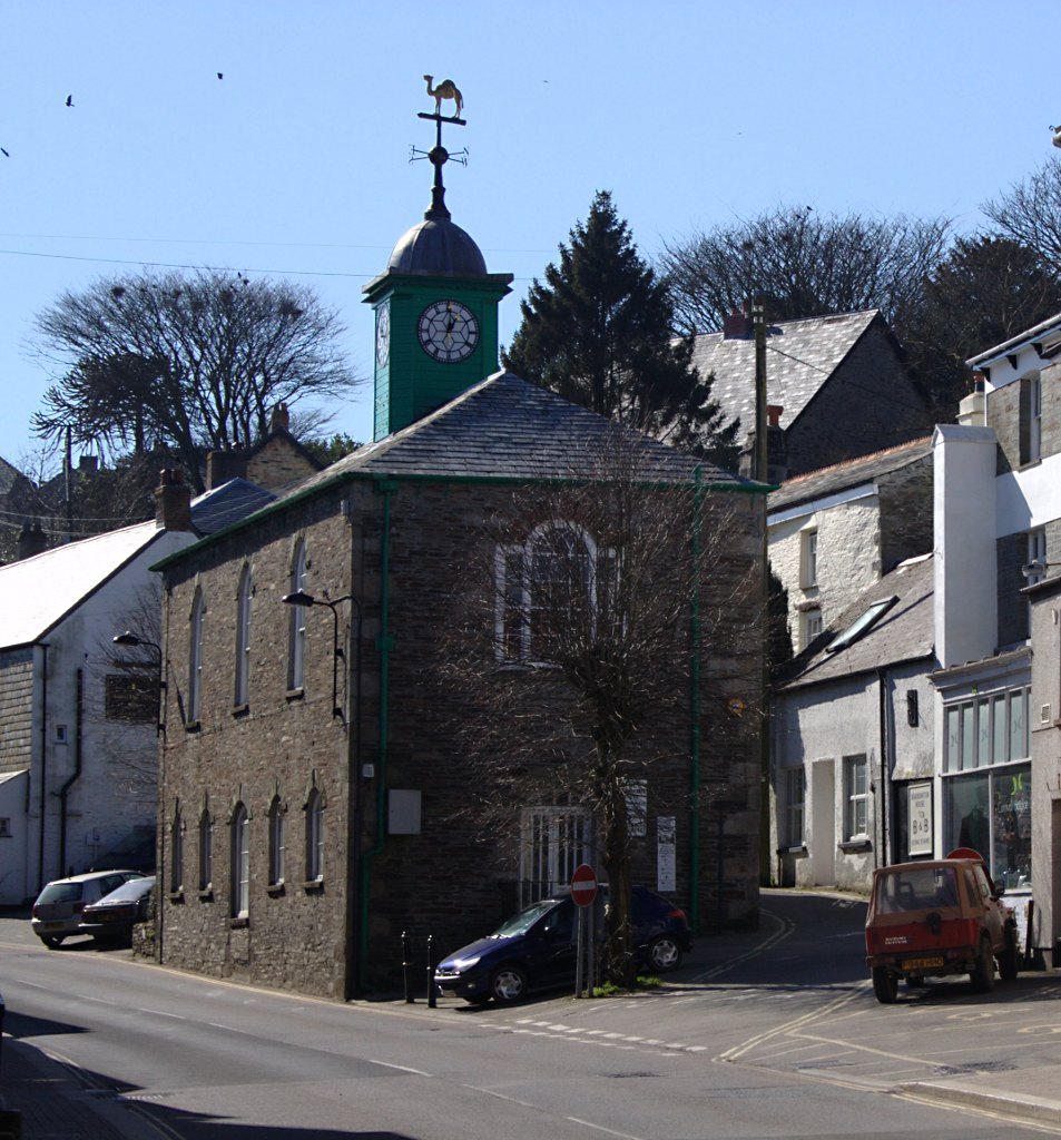


Geography and character
The town occupies a position where upland moorland meets a river floodplain. Surrounding landscapes include expanses of heath and granite tors on Bodmin Moor and wooded sections along the River Camel. Agriculture, small-scale commerce and tourism tied to walking, cycling and countryside pursuits form important parts of the local economy. The built environment is a mix of traditional stone and slate buildings alongside later Victorian and 20th-century developments.
Transport and access
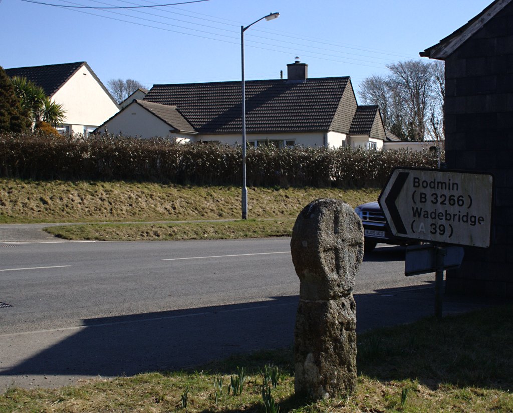
Road access is dominated by the A39, which passes through the town centre and links Camelford to other parts of Cornwall. Historically the town was served by a rail link: Camelford railway station lay on the branch line to Padstow but was some distance from the town and was closed in 1966 as part of wider reductions in rural services. Today most visitors and residents travel by road, with rail connections available at larger nearby towns.
History and governance
Camelford has long served as a local market and service centre for surrounding farming communities. The civic structure is centred on a town council responsible for local services, planning input and community events. The ecclesiastical parish of Lanteglos-by-Camelford broadly corresponds with the historic parish boundaries and contains the town church and associated records.
Lowermoor water contamination (1988)
In July 1988 Camelford and parts of the surrounding area were affected by a serious water quality incident when about 20 tonnes of aluminium sulphate were mistakenly discharged into the wrong tank at the Lowermoor Water Treatment Works on Bodmin Moor. The event was widely reported and prompted public concern and campaigning. An independent inquiry was initiated in 2002 and a draft report was published in January 2005; the incident remains significant in local memory and there have been ongoing questions about long-term health effects, follow-up studies and the adequacy of responses by authorities.
Present-day significance and visitor information
Today Camelford functions as a small commercial and service centre for residents and visitors exploring north Cornwall. Points of interest are primarily natural: access to Bodmin Moor, riverside walks along the Camel valley and nearby rural villages. Practical details for visitors include the main road route (A39) through the town, local shops and community facilities. For background reading and local resources see official and heritage pages linked from town and county sources.
- Local council: Camelford Town Council provides governance and community information.
- Landscape: proximity to Bodmin Moor and the River Camel valley.
- Transport: A39 road; former rail link to Padstow closed in 1966.
Further local and regional context can be found via county and national resources; for maps, visitor facilities and health or environmental reports consult official pages and published inquiries for the most up-to-date information.
Questions and answers
Q: Where is Camelford located?
A: Camelford is a small town located in north Cornwall, United Kingdom, in the River Camel valley northwest of Bodmin Moor.
Q: How far is Camelford from Bodmin?
A: Camelford is about ten miles (16 km) north of Bodmin.
Q: Who governs Camelford?
A: Camelford is governed by a town council.
Q: What is the name of the ecclesiastical parish that includes Camelford?
A: Lanteglos-by-Camelford is the ecclesiastical parish that includes Camelford.
Q: Does the A39 road go through the town centre?
A: Yes, the A39 road goes through the town centre.
Q: When was Camelford railway station closed?
A: Camelford railway station on the line to Padstow was closed in 1966.
Q: What happened in Camelford in July 1988?
A: In July 1988, the water supply to the town and the surrounding area was contaminated when 20 tons of aluminium sulphate was poured into the wrong tank at the nearby Lowermoor Water Treatment Works on Bodmin Moor.
Related articles
Author
AlegsaOnline.com Camelford, Cornwall Leandro Alegsa
URL: https://en.alegsaonline.com/art/16294
Sources
- cwic.cornwall.gov.uk : cwic.cornwall.gov.uk