Ain (river)
The Ain is a river in eastern France that rises in the Jura Mountains and flows south to join the Rhône; it has shaped local landscapes, ecology, recreation and gave its name to the Ain department.
The Ain (Franco‑Provençal: En) is a river in eastern France. It rises in the Jura Mountains and describes a generally southward course before joining the Rhône as a right‑bank tributary. The river's name was given to the modern French administrative department that bears it, and it remains a defining feature of the surrounding countryside. For regional context see France and general location maps at detailed maps.
Image gallery
10 Images


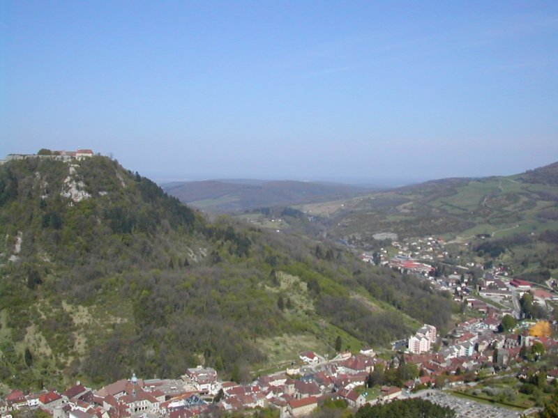
Characteristics and course
The Ain drains a mix of limestone uplands and forested valleys typical of the Jura. Its upper reaches are fed by springs and karst outlets; farther downstream the channel cuts through notable gorges and meanders across broader valleys. As a right tributary, it contributes to the flow of the Rhône and influences floodplain dynamics and sediment transport in the lower Rhône corridor.
History and human use
Human presence along the Ain extends back to prehistoric times, with later Roman and medieval settlements exploiting the river for drinking water, irrigation, mills and transport. Over centuries towns and industries developed along its banks. In modern times the river has been used for modest hydroelectric generation, agriculture and local water supply while retaining stretches of largely rural character.
Ecology and recreation
The river supports diverse freshwater habitats, including populations of trout and other fish common to cool, well‑oxygenated streams. Its limestone gorges, calm pools and rapids make it attractive for canoeing, kayaking, fishing and hiking. Conservation efforts typically focus on water quality, riparian habitat protection and balancing recreation with ecological integrity.
Distinctive features
- Karst springs and limestone gorges that give the valley scenic and geological interest.
- Clear waters in upper reaches, supporting cold‑water species and sensitive ecosystems.
- Importance as a regional toponym: the river's name was adopted by the Ain department, reflecting its local centrality.
For further reading and maps consult regional guides and databases that cover river systems, geology and recreational routes in eastern France. Additional resources and local conservation information can be found through regional authorities and environmental organizations listed by area at local maps and overview pages available via tourism or environmental portals.
Related articles
Author
AlegsaOnline.com Ain (river) Leandro Alegsa
URL: https://en.alegsaonline.com/art/1580
Sources
- services.sandre.eaufrance.fr : "L'Ain (V2--0200)"
- hydro.eaufrance.fr : "L'Ain à Chazey-sur-Ain"
- geoportail.gouv.fr : "Source de l'Ain"
- geoportail.gouv.fr : "Confluence de l'Ain"