
Weather radar: how it works, types, and applications
An accessible overview of weather radar: principles, main types (including Doppler and polarimetric), components, common uses in forecasting and warnings, and limitations of radar observations.
Overview
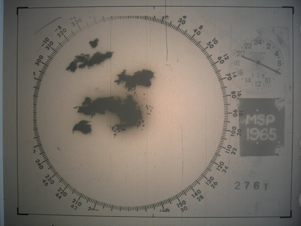
Weather radar is a specialized form of radar designed to detect precipitation and characterize its motion and intensity. By transmitting pulses of microwave energy and listening for echoes from hydrometeors (raindrops, snowflakes, hail), radar systems map where precipitation is occurring, estimate how heavy it is, and measure movement within storms. Modern systems combine several processing techniques to support forecasting and warning operations.
Image gallery
10 Images




Main functions and outputs
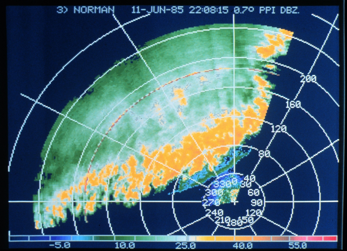
Typical radar products include reflectivity (a measure of returned signal strength, related to precipitation intensity), radial velocity (motion toward or away from the antenna), and derived fields such as spectrum width or vertically integrated liquid. Reflectivity images show where it is raining or snowing, helping to identify convective cells or broad precipitation areas. Velocity products reveal wind patterns inside storms that can indicate rotation or dangerous outflow.
Types and technological developments
Early weather radars used simple reflectivity alone. Most operational networks today are Doppler-capable, so they can measure the component of motion along the radar beam. Many systems have been upgraded to dual-polarization, which transmits both horizontal and vertical pulses and improves discrimination between rain, snow, hail, and nonmeteorological echoes. Research and newer implementations include phased-array and rapid-scan radars that can update more frequently.
Components and scanning
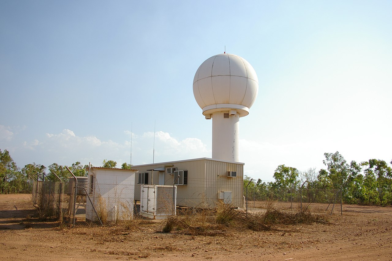
Key parts of a radar site are the antenna, transmitter/receiver, signal processor, and data processor. The antenna rotates and tilts to build three-dimensional views through multiple elevation angles. Scanning strategies and post-processing create products like composite reflectivity, cross-sections, and constant-altitude plan position indicators (CAPPI) that meteorologists use to interpret storm structure.
Uses and importance
Weather radar is central to operational meteorology: it supports short-term forecasts, severe-weather warnings (tornadoes and damaging winds), aviation safety, and hydrology for flood forecasting. Algorithms analyze patterns such as hook echoes, velocity couplets, or sudden increases in reflectivity to identify potentially hazardous situations. Radar networks feed automated systems and human forecasters alike in national and private services.
Limitations and notable considerations
Although powerful, radar observations have limits: beam broadening with range, blind zones close to the site, ground clutter, beam blockage by terrain, and attenuation in heavy precipitation. Melting layers can produce a "bright band" that biases intensity estimates. Interpreting radar requires awareness of these effects and often the combination of radar data with surface observations and models. For authoritative summaries and operational guidance, see national meteorological services and technical references (severe weather resources).
- Common strengths: real-time coverage, motion detection, storm structure insights.
- Common limitations: range effects, vertical sampling gaps, ambiguous drop-size estimates.
- Further reading: introductory and technical material is available from meteorological agencies and educational sites (radar basics, Doppler techniques).
Author
AlegsaOnline.com Weather radar: how it works, types, and applications Leandro Alegsa
URL: https://en.alegsaonline.com/art/147585