
Brooks Range (northern Alaska and adjacent Canada)
A remote Arctic mountain chain stretching roughly 700 miles across northern Alaska into Canada, the Brooks Range shapes regional climate, waterways and ecosystems and hosts protected wilderness areas.
Overview
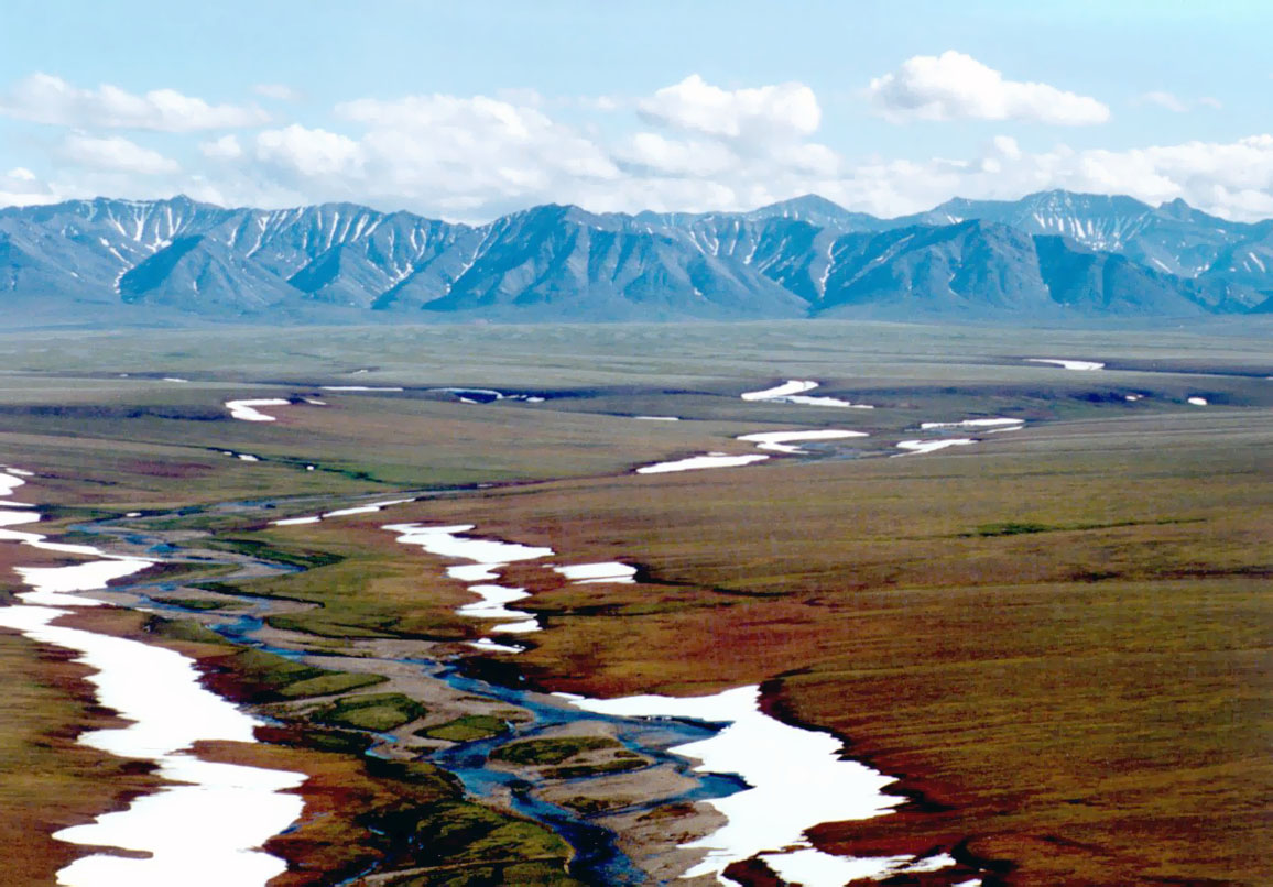
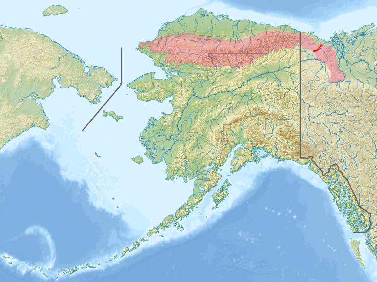
The Brooks Range is a remote mountain chain in the far north of the North American continent. It runs roughly east–west for about 700 miles (1,100 km) across northern Alaska and reaches into parts of northern Canada. The range forms a distinctive highland barrier between the Arctic coastal plain to the north and the interior lowlands to the south, influencing local weather and drainage patterns.
Image gallery
7 Images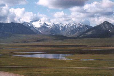


Physical characteristics
Peaks in the Brooks Range are modest by global standards but rugged and often snow-covered. Mount Chamberlin is commonly cited at about 9,020 feet (2,749 m) and is among the range's highest summits. The chain contains folded and uplifted sedimentary and metamorphic rocks, with glacial features at higher elevations and continuous permafrost in many valleys. The terrain includes sharp ridges, river-cut gorges and broad tundra plateaus.
Rivers, climate and ecology
Numerous rivers originate in the range. For example, the Kobuk River has its headwaters in the Brooks Range and flows west toward the Arctic coast. Many streams from the range drain northward into the Arctic Ocean system and westward toward the Bering and Chukchi seas. The climate is Arctic to subarctic: long, cold winters and short, cool summers. Vegetation shifts from alpine communities on the highest slopes to tundra and sparse spruce and willow stands in sheltered southern valleys.
Wildlife and human presence
The Brooks Range supports iconic Arctic species and seasonal migrations. Wild caribou herds cross its passes and plateaus, while Dall sheep, wolves, Arctic foxes and numerous migratory birds use its habitats. Indigenous peoples including Inupiat and Gwich'in communities have long-standing cultural and subsistence ties to the region, hunting, fishing and traveling along traditional routes.
Protection, uses and significance
Much of the Brooks Range is remote and roadless, and significant tracts are protected as national parks and preserves. Notable protected areas include Gates of the Arctic National Park and Preserve and Noatak National Preserve, which safeguard wilderness, wildlife corridors and cultural sites. The range is also of interest for scientific study—geology, glaciology, ecology and climate research—because it lies at the intersection of Arctic climate systems and continental North America.
Notable facts
- Length: roughly 700 miles (1,100 km) east–west.
- Highest summits: Mount Chamberlin and other peaks exceed 8,000–9,000 feet in some accounts.
- Protected lands: include Gates of the Arctic and Noatak preserves.
- Rivers: headwaters for rivers that flow to Arctic coastal waters and westward seas.
The Brooks Range remains one of the larger, less developed mountain regions in North America, valued for its ecological integrity, cultural heritage and role in Arctic natural systems.
Related articles
Author
AlegsaOnline.com Brooks Range (northern Alaska and adjacent Canada) Leandro Alegsa
URL: https://en.alegsaonline.com/art/14727