Broad Green, West Croydon
Broad Green is a compact residential and shopping area at the heart of West Croydon, centred on a triangular common created in the late 19th century and now part of the Croydon borough.
Overview
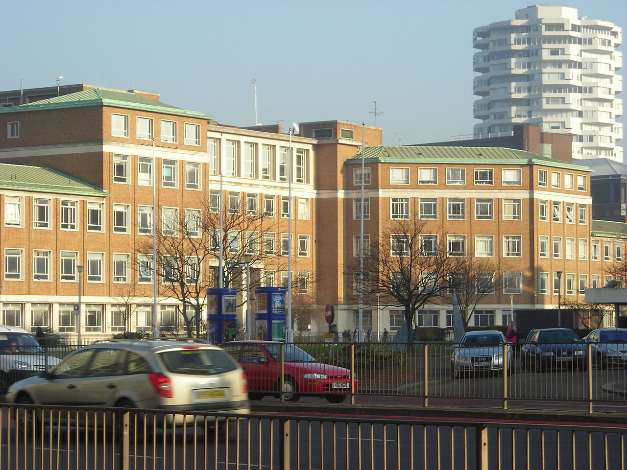
Broad Green is a small but clearly defined neighbourhood within the larger West Croydon district of south London. The name refers primarily to a triangular green space surrounded by housing and shops; the built environment around the green includes late Victorian and Edwardian houses alongside later infill development. The site functions as a local focal point for nearby residents and small businesses.
Image gallery
10 Images


Location and administrative context
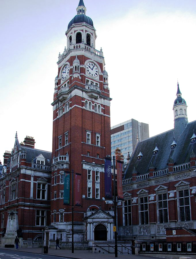
The traditional Broad Green lies at the centre of West Croydon and is administratively part of the London Borough of Croydon. It sits close to the transport and commercial amenities of West Croydon and, more broadly, within England. For quick reference or orientation, some online maps label the area; see a local map for street-level detail.
Characteristics and built form
The focal triangular green is surrounded by a mix of two- and three-storey houses, local retailers, and occasional public buildings. The green itself provides open space in an otherwise suburban neighbourhood and is notable for its geometric shape and the surrounding mature trees. Streets near the green tend to show late 19th- and early 20th-century architectural features, including bay windows and decorative brickwork.
History and development
Broad Green emerged as a recognisable place toward the end of the 19th century, when suburban growth around Croydon transformed former fields into residential streets and local amenities. The triangular open area was retained as communal space while surrounding plots were developed for housing and shops. Over time the name Broad Green came to be used in local government and electoral geography as well as on street signs.
Uses and local services
The neighbourhood supports everyday shopping, small businesses and community facilities used by residents of West Croydon and neighbouring wards. Public services such as libraries and community centres may carry the Broad Green name even when their buildings sit beyond the historic green itself; this reflects the wider administrative use of the name in electoral wards and local planning.
Notable distinctions
- The electoral ward called Broad Green covers a larger area than the traditional triangular green, so institutions named after Broad Green are sometimes some distance from the historic open space.
- Parts of nearby wards—such as Selhurst and West Thornton—connect with or overlap the West Croydon area, producing a local patchwork of neighbourhood identities.
- Because it is compact and primarily residential, Broad Green is best understood as a local centre rather than a large town centre.
For further practical information—such as public transport links, current shops, or community groups—consult local council resources or neighbourhood guides maintained by community organisations and the borough authority.
Related articles
Author
AlegsaOnline.com Broad Green, West Croydon Leandro Alegsa
URL: https://en.alegsaonline.com/art/14593