
Boundary Peak — Nevada's Highest Point
Boundary Peak is the highest summit in Nevada at 13,141 ft (4,005 m), located in Esmeralda County near the California border. A remote peak popular with hikers and state-highpointers.
Overview
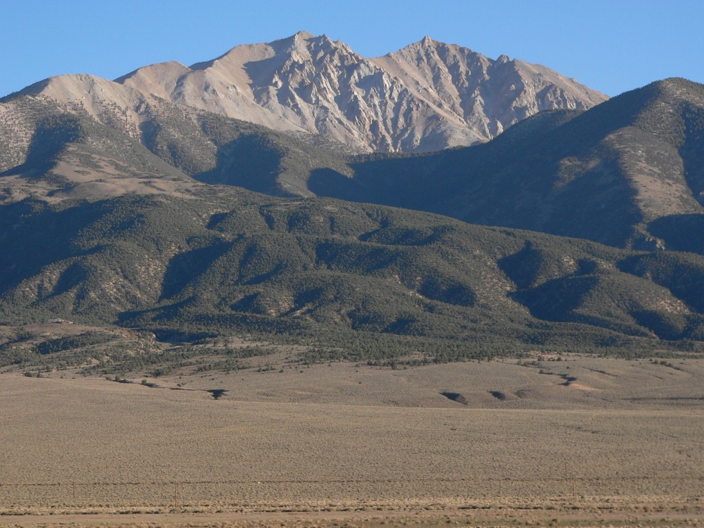
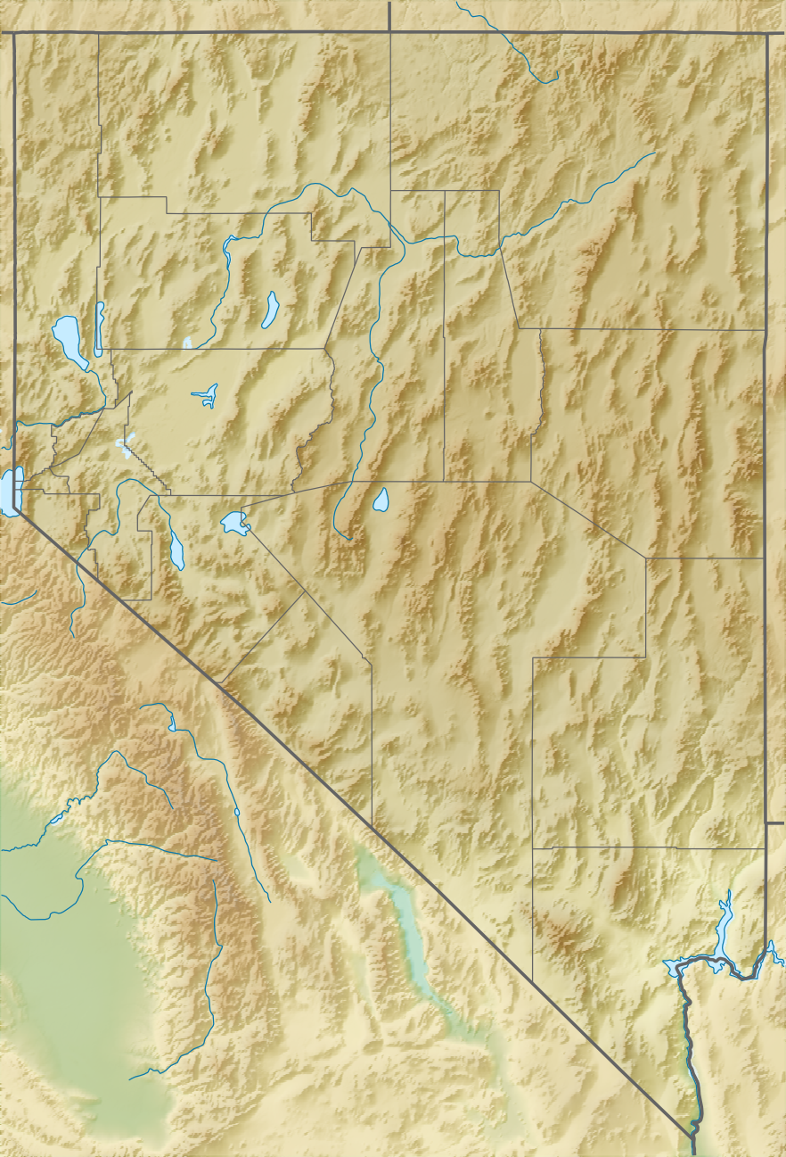
Boundary Peak is the highest named point in the U.S. state of Nevada, rising to an elevation of about 13,141 feet (4,005 m). It stands in a remote part of southwestern Nevada, within Esmeralda County, and is notable both as the state's high point and as a familiar objective for hikers seeking to visit state summits.
Image gallery
7 Images



Geography and setting
The peak lies less than two miles east of the California state line and forms part of the higher terrain along the White Mountains and adjacent ranges. Its proximity to the border gave the summit its common name. The surrounding landscape is high desert and alpine terrain: sparse vegetation at lower elevations gives way to rocky ridgelines and talus near the summit.
History and name
The name reflects the mountain's position near the state boundary. Historically the area has been remote and lightly populated; small settlements and mining camps once dotted nearby valleys. The closest community to the trailheads is the small settlement of Dyer, which serves as a base for some visitors and is sometimes described in tourist accounts as a former mining settlement with ghost-town characteristics.
Climbing, access and recreation
Boundary Peak is accessible to fit hikers and peakbaggers. Routes typically start from dirt road trailheads reached from the valleys to the east and are non-technical in summer conditions, though they require long approaches, route-finding, and attention to high-altitude weather. Popular activities include day hikes to the summit, overnight backpacking, and combining an ascent with nearby peaks for longer ridge trips.
Distinctive facts and considerations
- Although it is Nevada's highest named point, Boundary Peak has relatively low topographic prominence compared with nearby higher summits across the border, and some mountaineers regard it as a subsidiary of the taller Montgomery Peak to the west.
- The mountain is a common destination for those completing state highpoint lists; its remote location means visitors should be prepared for self-reliant travel and limited services.
- Seasonal snow, high summer heat in approach valleys, and variable trail conditions mean that timing and gear choices matter: many hikers prefer late spring to early fall for ascents.
For maps, trip reports and planning resources, consult official mapping services and regional guidebooks before attempting an ascent; local ranger offices or recreation bureaus can offer current access and safety information.
Related articles
Author
AlegsaOnline.com Boundary Peak — Nevada's Highest Point Leandro Alegsa
URL: https://en.alegsaonline.com/art/13353