List of bridges in Ottawa
Overview and representative list of bridges in Ottawa, Ontario, organized by waterway with examples of major road, rail and pedestrian crossings over the Ottawa River, Rideau River and Rideau Canal.
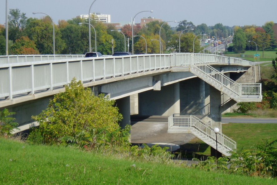
This article provides an organized overview of bridges in the city of Ottawa, Ontario, Canada. Bridges in the National Capital Region serve varied purposes: carrying highways and local streets, supporting rail lines, and providing pedestrian and cycling links. They are commonly listed from west to east when crossing the Ottawa River, and from north to south along the Rideau River and Rideau Canal.
Image gallery
10 Images


Notable Ottawa River crossings
- Alexandra Bridge — a prominent interprovincial crossing linking downtown Ottawa with Gatineau; used by vehicles, pedestrians and cyclists.
- Portage Bridge — a major connector for downtown traffic and transit routes across the river.
- Macdonald–Cartier Bridge — a primary motorway-type crossing facilitating heavy traffic flow between Ottawa and Gatineau.
- Champlain Bridge — a newer crossing that supplements regional highway connections.
- Prince of Wales Bridge — historically a rail bridge; its future use has been considered for active transportation.
- Chaudière and Victoria Island crossings — smaller structures serving local circulation near the Chaudière Falls and islands.
Rideau River and Rideau Canal crossings
- Hog's Back Bridge — spans the canal and river near the Hog's Back Falls and lock system, important for both vehicle traffic and park access.
- Bank Street Bridge — a key north–south arterial link over the Rideau Canal/River in central Ottawa.
- Laurier Avenue Bridge — carries mixed traffic and connects major downtown districts.
- Corktown Footbridge — a pedestrian and cyclist crossing that links downtown to the eastern neighborhoods across the canal.
- Adàwe Crossing — a modern pedestrian/cycling bridge across the Rideau River that improved active-transport links between communities.
- Somerset and other local bridges — a number of smaller road and foot bridges cross the canal and its lock approaches throughout the city.
Many of Ottawa's bridges combine practical transport roles with cultural or heritage value. Some downtown crossings sit close to federal buildings, parks and historic sites; others were adapted over time to add separated cycling and walking paths. Several structures are managed jointly by municipal, provincial or federal authorities, depending on their location and function.
For practical lists, maps and the most current information about closures, proposed conversions (for example rail-to-trail proposals) or rehabilitation projects, consult official municipal or provincial sources and local transport plans. This summary highlights representative crossings rather than an exhaustive inventory, and it groups bridges by the waterway they span to make comparison and navigation easier.
Related articles
Author
AlegsaOnline.com List of bridges in Ottawa Leandro Alegsa
URL: https://en.alegsaonline.com/art/124516