Voeren (Fourons): a border municipality in Belgian Limburg
Voeren (Dutch: Fourons) is a small, rural municipality in the eastern tip of Flanders, Belgian province of Limburg, known for its borderland history, rolling Voer valley landscape, and bilingual character.
Overview
Voeren (Dutch; French: Fourons) is a municipality in the Belgian province of Limburg. Nestled in the Voer valley near the borders with the Netherlands and the province of Liège, it is a compact rural area with a small population (4,261 inhabitants reported in 2007) and coordinates about 50°45′ N, 5°45′ E. For official municipal information see the municipality page.
Image gallery
10 Images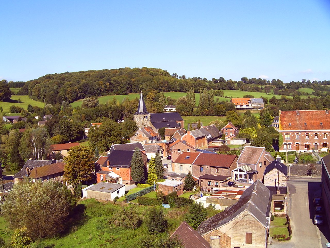


Geography and character
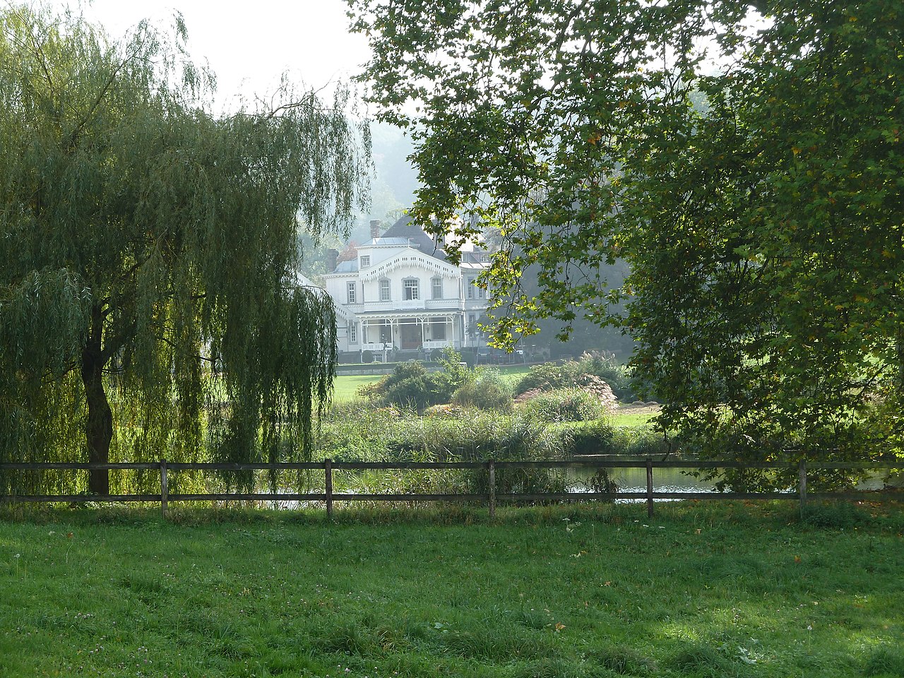
Voeren occupies a series of small villages and hamlets along wooded hills and a network of streams. The landscape of the Voer valley is known for winding lanes, farmland, and opportunities for walking and cycling. Its location within the Meuse-Rhine border region gives it a transitional character between Flemish and Walloon cultural influences. A regional overview is available via the province of Limburg resources.

Administratively, Voeren functions as a Flemish municipality within Belgium. Historically it has been a borderland with shifting administrative ties and a mixed-language population. The municipality has special linguistic arrangements that reflect the presence of both Dutch- and French-speaking communities; these arrangements and their governance have been the subject of longstanding local interest.
Local life emphasizes small-scale agriculture, cross-border commuting, and tourism focused on nature and heritage. Visitors often come for quiet walks, cycling routes, village churches and traditional houses. Practical information for visitors and services can be consulted through regional portals such as local tourism and public administration links like regional services.
Notable points
- Scale: a small municipality with a rural character.
- Border identity: pronounced cross-border and bilingual influences.
- Landscape: Voer valley scenery popular for outdoor recreation.
- Location: coordinates approximately 50°45′ N, 5°45′ E; population figure cited from 2007.
For maps, demographic updates or administrative details consult the official municipal sources and provincial information channels linked above.
Related articles
Author
AlegsaOnline.com Voeren (Fourons): a border municipality in Belgian Limburg Leandro Alegsa
URL: https://en.alegsaonline.com/art/105777
Sources
- statbel.fgov.be : Werkelijke bevolking per gemeente op 1 januari 2007 / Population de droit par commune au 1 janvier 2007 (.xls)
- statbel.fgov.be : Geografische coördinaten van de gemeenten (.xls)