Beitar Illit — Haredi city in the West Bank (Gush Etzion)
Beitar Illit is a predominantly Haredi Israeli settlement and city council about 10 km south of Jerusalem in the Judaean Mountains, part of the Gush Etzion bloc and known for rapid demographic growth.
Overview
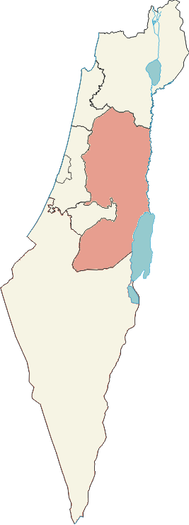
Beitar Illit (Hebrew: see Hebrew name) and known in Arabic as well (Arabic name) is an Israeli settlement organized as a city council. It lies roughly 10 kilometres south of Jerusalem in the Judaean Mountains and is administered within the territory commonly referred to as the West Bank. It is regarded as part of the Gush Etzion settlement bloc and is one of the larger rapidly growing communities associated with Israel in the area.
Image gallery
3 Images

Demographics and character
The city is predominantly Haredi (ultra-Orthodox Jewish) in religious and cultural character. Communities are centered on large families and religious institutions: numerous synagogues, yeshivot and schools serve a very young population. Published counts in the 2010s put the population in the tens of thousands; a commonly cited estimate for 2017 was about 54,000 residents. High birth rates and internal migration within Israel have been principal factors in its growth.
History and development
Founded and planned in the late 20th century as a purpose-built settlement, Beitar Illit expanded from initial neighborhoods into a recognized municipality with a city council and civic infrastructure. Urban development has emphasized dense residential construction, communal facilities, and institutions to support religious study and family life. Over time the municipality has extended services, public buildings and housing projects to accommodate growth.
Governance, services and economy
As a city council, municipal services include education, welfare, sanitation and local planning. The local economy is mixed: many residents commute to nearby urban centres such as Jerusalem for work, while others are employed locally in retail, education, religious publishing, or community services. Small businesses and public-sector employment linked to the settlement and surrounding areas contribute to local livelihoods.
Infrastructure and transportation
Beitar Illit is connected by regional roads and public bus lines to Jerusalem and neighboring towns. Local planning has aimed to provide schools, medical clinics and community centres close to residential areas. Infrastructure development has often been shaped by demographic pressures and by broader political and administrative arrangements affecting building permits and land use.
Legal status and international perspectives
Like other Israeli settlements beyond the 1949 armistice lines, Beitar Illit exists in a contested political and legal context. The international community generally regards such settlements as inconsistent with international law, a position disputed by the Israeli government. Debates over municipal status, planning, and security are frequently influenced by broader political negotiations and differing legal interpretations.
Notable facts
- Part of the Gush Etzion bloc and located near sites of historical and religious significance.
- Known for rapid demographic growth and a young median age compared with many other localities.
- Urban planning and services emphasize religious education and community infrastructure.
- Its size and development make it a significant local hub and a focal point in discussions about settlement policy and regional planning.
Questions and answers
Q: What is Beitar Illit?
A: Beitar Illit is an Israeli settlement located in the Judaean Mountains of the West Bank, organized as a city council.
Q: How far is Beitar Illit from Jerusalem?
A: Beitar Illit is located 10 kilometers (6.2 miles) south of Jerusalem.
Q: What is the population of Beitar Illit?
A: As of 2017, the population of Beitar Illit is 54,557.
Q: Is Beitar Illit part of Gush Etzion?
A: Yes, Beitar Illit is part of the Gush Etzion "settlement bloc".
Q: Is Beitar Illit one of Israel's largest settlements?
A: Yes, Beitar Illit is one of Israel's largest and most rapidly growing settlements.
Q: What is the pronunciation of "Illit" in Beitar Illit?
A: "Illit" is pronounced "ee-leet".
Q: Where is Beitar Illit located?
A: Beitar Illit is located in the Judaean Mountains of the West Bank.
Tags
Related articles
Author
AlegsaOnline.com Beitar Illit — Haredi city in the West Bank (Gush Etzion) Leandro Alegsa
URL: https://en.alegsaonline.com/art/10174