Beaurains — commune in Pas-de-Calais, northern France
Beaurains is a small commune near Arras in the Pas-de-Calais department of northern France. This article outlines its geography, history, economy, landmarks, and regional context.
Beaurains is a small commune located immediately south of the city of Arras in northern France. The town functions today largely as a residential and local-service centre for the surrounding rural and urban area, while retaining visible traces of older settlement. Its location in the plain around Arras shapes both its landscape and its connections to regional transport and markets.
Image gallery
3 Images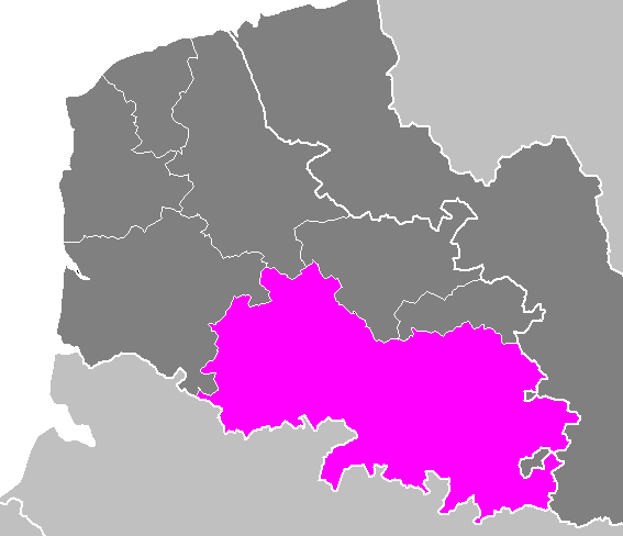


Geography and administration
Beaurains lies in the historic province that was long known as Nord-Pas-de-Calais and now forms part of the larger administrative region called Hauts-de-France. Administratively it is within the Pas-de-Calais department; the town belongs to local intercommunal structures and municipal arrangements typical of French communes. The surrounding landscape is primarily agricultural plain with patches of suburban development, and major roads link Beaurains to Arras and other nearby towns.
History
The settlement has roots that likely extend back through the medieval period and may overlay earlier rural occupation typical of the region. Like much of the Arras area, Beaurains was affected by the conflicts of the 20th century: the fighting of the First World War and subsequent reconstruction shaped parts of its built environment. Over time the commune has shifted from a mostly agricultural village toward a more mixed economy with commuters and small businesses.
Economy, landmarks and community life
Economic activity in Beaurains combines local shops, small enterprises and agricultural holdings with a significant number of residents who work in Arras or other towns. Local landmarks often cited in guidebooks and municipal literature include the parish church, a communal war memorial, and neighbourhood parks. Community life centers on municipal events, weekly markets, school activities and occasional cultural festivals that reflect the customs of the Pas-de-Calais region.
Notable facts and context
Beaurains illustrates the common pattern of small French communes near a regional centre: it provides housing, services and local identity while relying on the larger city for extensive public services and employment. Its position in the department gives it administrative ties to departmental services, and its location in the north of France places it within a densely settled part of the country with a layered industrial and agricultural history.
- Nearest city: Arras, providing rail and regional services.
- Landscape: agricultural plain with suburban fringe.
- Heritage: local church, war memorials and post‑war reconstruction features.
- Role: residential commune and local service centre.
For more detailed administrative or tourist information consult municipal sources or regional guides that cover the Pas-de-Calais area and the Arras conurbation. Further reading and official pages are typically available through local government sites and regional cultural services.
Tags
Related articles
Author
AlegsaOnline.com Beaurains — commune in Pas-de-Calais, northern France Leandro Alegsa
URL: https://en.alegsaonline.com/art/9923