Baxter Springs, Kansas: history, geography, and local highlights
Baxter Springs is a city in Cherokee County, Kansas, on the Spring River. Known for Civil War history, Route 66 heritage and a mining-era past, it was home to 4,238 people at the 2010 census.
Overview
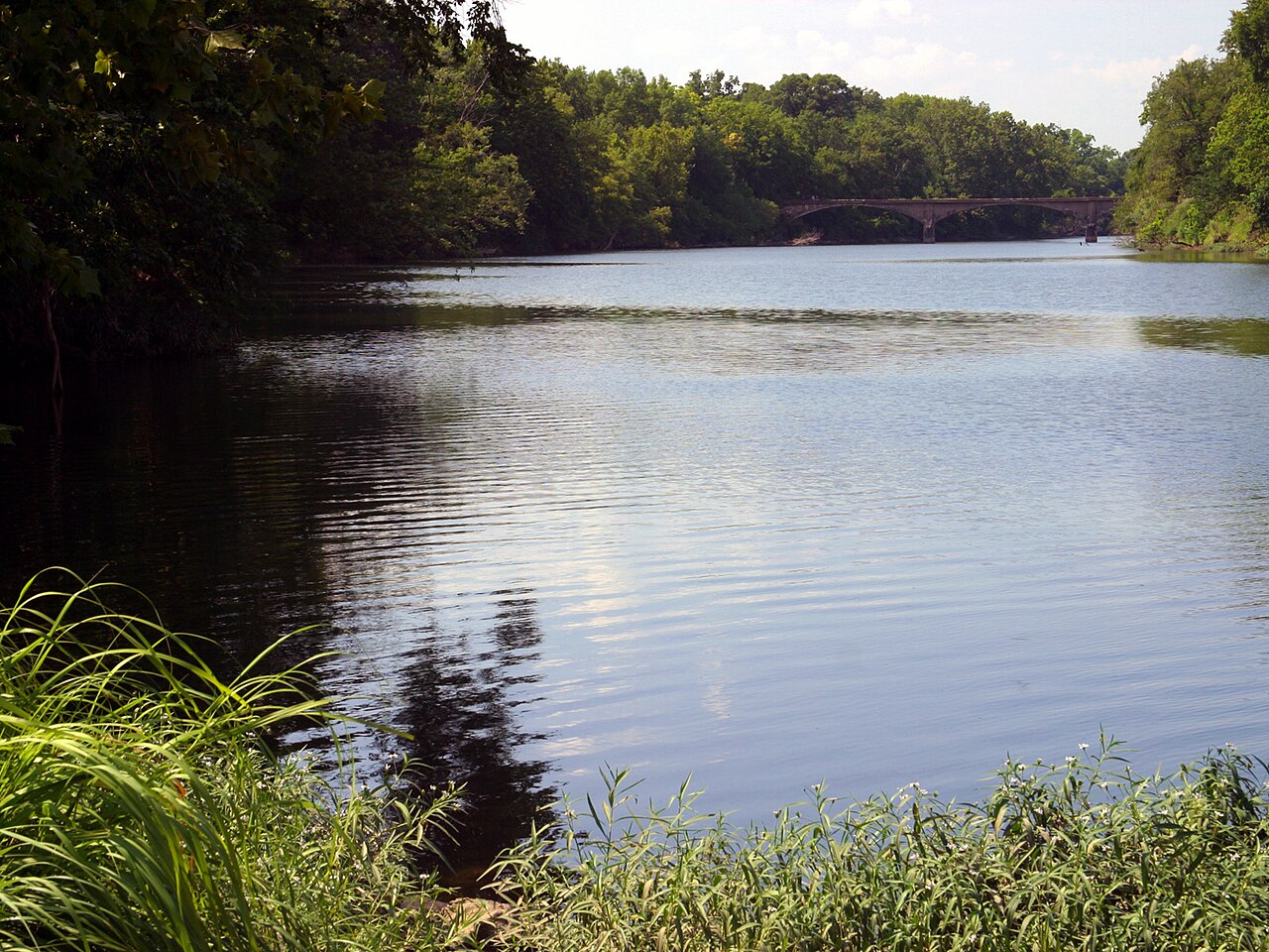
Baxter Springs is a small city in Cherokee County, Kansas, United States, situated on the banks of the Spring River. It had a population of 4,238 at the 2010 census. The community serves as one of the larger population centers in the southeastern corner of Kansas and functions as a local hub for nearby rural areas.
Image gallery
7 Images


History
The town grew in the 19th century as settlers, traders and miners arrived in the region. During the American Civil War the area saw military activity, and Fort Blair (also called Fort Baxter) was established nearby. The town later developed ties to the region's mining and railroad industries, which shaped its economy and built much of its early infrastructure.
Geography and economy
Baxter Springs lies near the borders of Missouri and Oklahoma, on a stretch of the Spring River that supports local recreation and small-scale commerce. Historically the local economy was linked to mining in the Tri-State district and to rail lines; today it includes retail, services, light manufacturing and tourism related to historic Route 66.
Attractions and significance
The city is noted for its connections to historic transportation routes and Civil War sites, and it attracts visitors interested in classic highway culture. Local museums and markers interpret the area's military and mining past, while riverside parks provide outdoor recreation.
Notable facts
- Largest city in Cherokee County by population among local communities.
- Located on the Spring River, offering fishing and boating opportunities.
- Has preserved sites and memorials related to 19th-century events and Route 66 heritage.
For more detailed information on demographics, civic institutions and visitor resources, consult local government and heritage organizations that maintain historic records and tourism materials.
Related articles
Author
AlegsaOnline.com Baxter Springs, Kansas: history, geography, and local highlights Leandro Alegsa
URL: https://en.alegsaonline.com/art/9655
Sources
- census.gov : "US Gazetteer files 2010"
- factfinder2.census.gov : "American FactFinder"
- census.gov : "Population and Housing Unit Estimates"
- geonames.usgs.gov : "US Board on Geographic Names"
- factfinder2.census.gov : "2010 City Population and Housing Occupancy Status" · web.archive.org
- hmdb.org : "Black Dog Trail Marker"
- digital.library.okstate.edu : Burl E. Self, "Black Dog"
- dexterks.blogspot.com : "DEXTER, "In The Flint Hills" KANSAS: BLACK DOG TRAIL.Photo of Chief Blackdog"
- digital.library.okstate.edu : Louis F. Burns, "Osage"
- census.gov : "US Gazetteer files: 2010, 2000, and 1990"