Staden — municipality in West Flanders, Belgium
Staden is a Flemish municipality in West Flanders, Belgium. Located inland near Roeselare and Kortrijk, it combines agricultural land, small industry and local heritage. Population ~10,995 (2007).
Overview

Image gallery
2 Images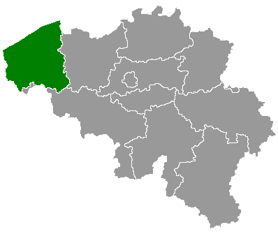

Geography and administration
Staden occupies a mostly flat landscape typical of inland West Flanders, with a mix of arable fields, hedgerows and built-up village centres. The municipality functions as a local administrative unit; for broader context see the concept of municipality and the provincial system of Belgium. Settlement patterns reflect both historic village cores and more recent residential development for commuters to nearby cities.
History and development
The area that is now Staden has medieval origins: like many places in West Flanders, its development was shaped by agriculture, parish organisation and regional trade routes. Over the centuries the locality evolved gradually rather than through a single defining event. Twentieth-century changes brought improved roads and industrial diversification, while preserving several historic buildings and village layouts.
Economy and transport
Local economic activity is mixed. Agriculture remains visible on the surrounding lands, while small manufacturers, service businesses and shops serve local needs. The town functions partly as a commuter base for larger nearby urban centres; road links and regional public transport provide connections for workers and students travelling to employment, education and services elsewhere in West Flanders.
Culture, landmarks and community life

Practical information
- Location: inland West Flanders, coordinates ~50°58′ N, 03°00′ E.
- Population: roughly 10,995 (recorded in 2007; current figures will differ).
- Character: a mix of agricultural landscape, village centres and commuter housing.
For further administrative or touristic details consult regional sources and municipal services linked to West Flanders and Belgium.
Related articles
Author
AlegsaOnline.com Staden — municipality in West Flanders, Belgium Leandro Alegsa
URL: https://en.alegsaonline.com/art/93219
Sources
- statbel.fgov.be : Werkelijke bevolking per gemeente op 1 januari 2007 / Population de droit par commune au 1 janvier 2007 (.xls)
- statbel.fgov.be : Geografische coördinaten van de gemeenten (.xls)