Setesdal: the valley of Otra — landscape, culture, and outdoor life
Setesdal is a long river valley in southern Norway known for its mountain scenery, folk traditions, and outdoor recreation. It follows the Otra river through historic Aust-Agder into Agder county.
Setesdal is a classic glacially carved valley in southern Norway that follows the course of the river Otra. The valley stretches from lowland areas toward high plateaus and is often described by visitors for its long views, steep sided slopes, and distinct cultural identity. For a quick orientation see a regional Setesdal map.
Image gallery
4 Images


Landscape and geography
The valley is dominated by the Otra river and a sequence of linked valleys and side valleys. Broad river plains alternate with narrower gorge-like sections and mountain plateaus at higher elevations. The area contains forests, pasturelands, wetlands and alpine terrain used for seasonal grazing. Large tracts of the surrounding uplands are protected or managed for recreation and nature conservation.
History, settlement and culture
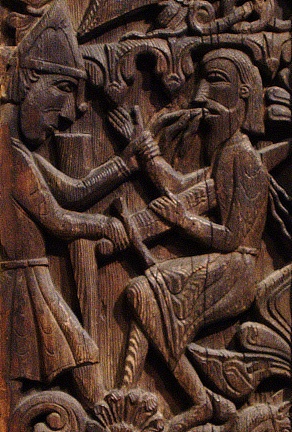
Historically Setesdal lay within the old county sometimes referred to as Aust-Agder and today forms part of Agder county. Small farming communities and parish centres such as Evje, Bygland, Valle and Bykle preserved local dialects, craftsmanship and folk music longer than many lowland districts. Setesdal is noted for traditional clothing (bunad), fiddling and vocal folk styles, and local silver and jewelry forms.
Uses, recreation and economy
- Outdoor activities: hiking, fishing, skiing and cycling are popular across seasons.
- Culture: museums, craft markets and occasional folk festivals celebrate Setesdal traditions.
- Hydropower and forestry historically shaped the local economy while tourism now contributes significantly.
Transport through the valley is provided by the main inland road (Riksvei 9) that links Setesdal northwards to mountainous areas and southwards toward the coast and Kristiansand. The valley is often visited by people exploring southern Norway landscapes and cultural routes.
Setesdal remains a region where natural scenery and preserved rural traditions meet contemporary outdoor recreation and local industry, offering a compact example of inland life in Norway.
Related articles
Author
AlegsaOnline.com Setesdal: the valley of Otra — landscape, culture, and outdoor life Leandro Alegsa
URL: https://en.alegsaonline.com/art/89158