Bailleul-lès-Pernes
Bailleul-lès-Pernes is a small commune in the Pas-de-Calais department of northern France. This article outlines its location, name, local character, administration, history and cultural features.
Overview
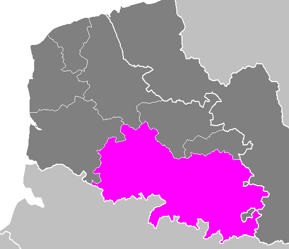
Bailleul-lès-Pernes is a rural commune in northern France. It lies within the Pas-de-Calais department (department page) and is part of the national territory of France. Historically the area belonged to the former Nord-Pas-de-Calais region, which has since been incorporated into the larger administrative region of Hauts-de-France.
Image gallery
2 Images
Geography and character
The commune occupies a small footprint typical of many settlements in the Artois and northern plain: gently rolling farmland, hedgerows and a compact village core. Agriculture is the dominant land use, with mixed crops and pastures defining the local landscape. Local roads connect the village to neighbouring communes and to departmental transport routes, providing links to regional centers.
Name and historical context
The place-name combines Bailleul, a toponym found elsewhere in northern France and Belgium, with the qualifier -lès-Pernes, meaning “near Pernes.” Such qualifiers were added to distinguish settlements with similar names. The area shares the long historical patterns of northern France, including medieval parish life, agricultural development, and the impacts of modern administrative reforms documented since the days of the former Nord-Pas-de-Calais region.
Administration and services
Bailleul-lès-Pernes functions under the French commune system and participates in local intercommunal structures for shared services such as schooling, waste management and local planning. Information about municipal affairs and local initiatives is commonly available from departmental and communal resources (see department services).
Culture, sights and local life
The village center typically features a parish church, a war memorial and traditional houses built in regional styles. Community life revolves around agricultural calendars, small local events and nearby market towns. Visitors interested in rural heritage will find modest architectural and landscape attractions rather than major tourist infrastructure.
Significance
- Represents the character of small communes that form the fabric of rural northern France.
- Illustrates toponymic patterns where lès indicates proximity to a larger locality.
- Serves as part of broader departmental and regional structures linking countryside and urban centers.
For administrative details, demographic updates and local news, consult official communal channels and departmental portals linked above.
Related articles
Author
AlegsaOnline.com Bailleul-lès-Pernes Leandro Alegsa
URL: https://en.alegsaonline.com/art/8358