Reimerswaal — municipality on Zuid-Beveland, Zeeland
Reimerswaal is a Dutch municipality on the former island of Zuid-Beveland in Zeeland. It lies between the Eastern and Western Scheldt estuaries and is known for aquaculture, agriculture and maritime history.

Reimerswaal is a municipality in the southwestern Netherlands, located on the former island of Zuid-Beveland within the Province of Zeeland. It forms part of the country commonly referred to as the Netherlands and had a population of about 22,000 people in 2017. The municipality occupies low-lying polder lands and coastal fringe, shaped for centuries by tides, storm surges and human land reclamation.
Image gallery
7 Images


Geography and layout
Reimerswaal sits between two important estuaries: the Eastern Scheldt to the north and the Western Scheldt to the south. Its position gives the area a strong maritime influence, with tidal flats, shipping channels and saline-influenced soils that support a mix of fisheries, salt-tolerant agriculture and coastal wetlands. The municipality shares a border with the Dutch Province of North Brabant and touches the Belgian Province of Antwerp along a small section of its southern boundary, reflecting the region’s cross-border character.
Population centres
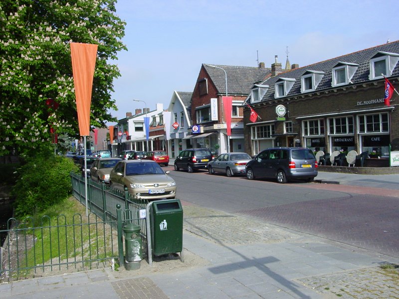
The municipality comprises several villages and small towns rather than a single large urban centre. The largest settlement is Yerseke, followed by a number of other communities that serve as local centres for farming, fishing and services. Typical population centres include:
- Yerseke — the main harbour and aquaculture centre
- Smaller villages that provide residential, agricultural and logistical functions
- Harbour and canal settlements that link inland transport with estuarine navigation
History and development
The area around Reimerswaal has a long history of land reclamation, dyke building and occasional flooding. The municipality’s name recalls a medieval city destroyed and partly lost to the sea in earlier centuries; over time engineering works, polders and modern water management have stabilized the coastline. Agricultural reclamation and urban consolidation in the 19th and 20th centuries shaped the present municipal boundaries and settlement pattern.
Economy, culture and nature
Reimerswaal’s economy combines aquaculture, agriculture and small-scale industry. Yerseke is internationally known for the breeding and harvest of blue mussels (mussels) and oysters (oysters), and its harbours are focal points for seafood processing and trade. The coastal waters and estuaries are also important for wildlife: mudflats, salt marshes and the nearby Zeeland estuarine systems provide feeding grounds for migratory birds and support local fisheries. Cultural life reflects maritime traditions, with local festivals, markets and museums that interpret fishing, shellfish cultivation and dyke construction.
Transport and significance
Transport links are oriented toward the Scheldt estuaries, connecting Reimerswaal to regional ports, ferry routes and inland road and canal networks. Its coastal position and mixture of agricultural land and marine resources make the municipality an example of how Dutch communities combine flood protection, productive use of marginal lands and cross-border economic ties. For further administrative details and municipal services consult the local government and regional planning sources.
Related articles
Author
AlegsaOnline.com Reimerswaal — municipality on Zuid-Beveland, Zeeland Leandro Alegsa
URL: https://en.alegsaonline.com/art/81963