Rainy Lake: Geography, history and recreation on the U.S.–Canada border
Rainy Lake straddles the border between Minnesota (United States) and Ontario (Canada). This article outlines its geography, hydrology, cultural history, recreation, ecology, and economic importance.
Overview
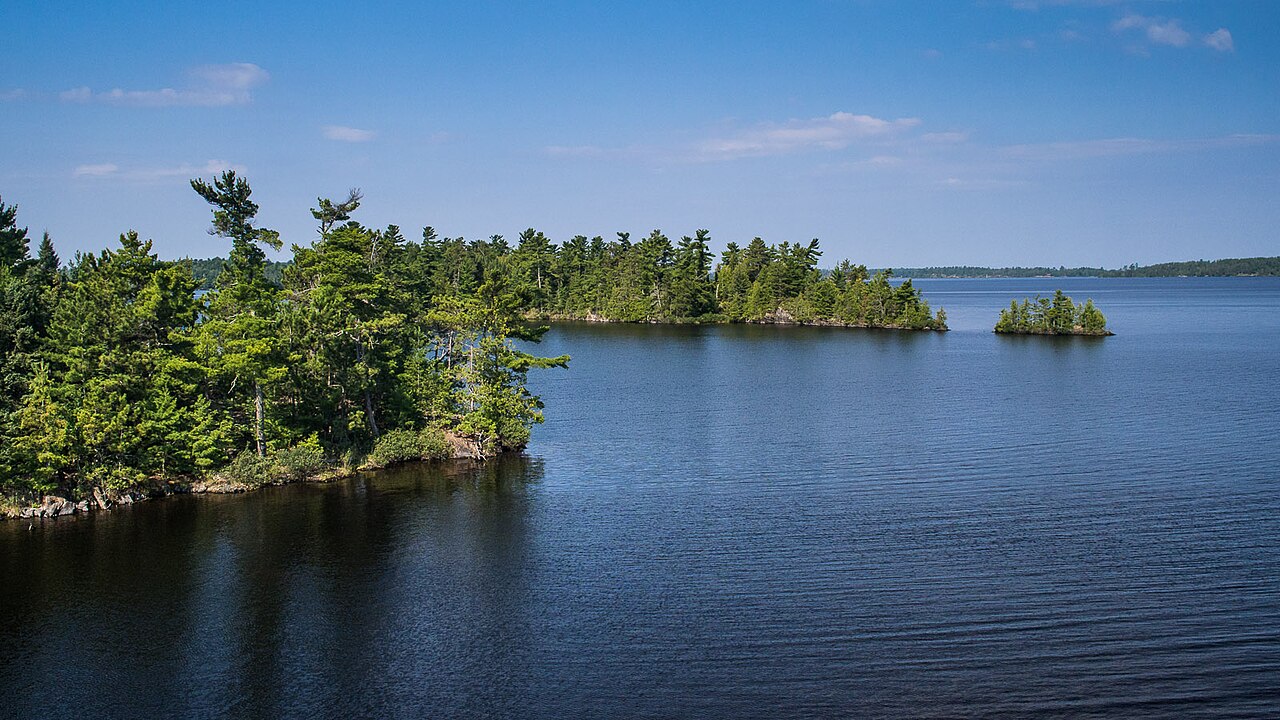
Rainy Lake (French name: Lac de la pluie) is a large freshwater lake on the international boundary between the United States and Canada. It spans a landscape of islands, bays and irregular shoreline and is measured in tens of miles across. The lake is a distinctive feature of the border region and supports local communities and seasonal visitors.
Image gallery
8 Images
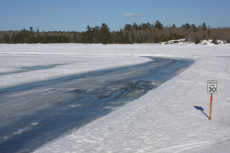


Geography and hydrology
The lake covers several hundred square miles and extends in a generally east–west orientation. Its western outlet, the Rainy River, flows from the lake and has long been used for waterpower and transport. The shoreline alternates between rocky outcrops, forested coves and chains of islands that create sheltered channels and anchorage areas.
History and cultural significance
Indigenous peoples, including Anishinaabe communities, used Rainy Lake for fishing, travel and trade for centuries before European exploration. During the fur trade and later periods of timber and settlement, the lake served as an important waterway. European explorers and voyageurs gave place names in French and English; the lake has been part of the international border region since 19th-century boundary agreements.
Recreation and local economy
Rainy Lake is a popular destination for boating, angling and cottage recreation. Visitors are drawn by clear waters, island camping and long summer days. The lake contributes to the local economy through tourism, guiding services and seasonal businesses. Hydroelectric facilities on the Rainy River provide electricity to downstream communities, including the city of International Falls.
Wildlife, fisheries and conservation
The lake supports diverse aquatic and terrestrial habitats. Sport fishing is a principal recreational activity; anglers commonly seek walleye, northern pike, smallmouth bass and muskellunge. Shoreline forests and wetlands host birds and mammals typical of the boreal-transition zone. Conservation efforts focus on water quality, fish populations and maintaining access while limiting ecological pressures.
Practical information and notable facts
Access to the lake is available from both sides of the border by road, marinas and portages. Boaters and anglers should follow regulations that apply to the jurisdiction in which they are operating; permits, seasons and size limits vary. For more on outdoor opportunities and travel guidance, regional recreation and fishing resources can be consulted: recreation and angling information. Additional background about the lake and surrounding lands is available from local authorities and park services.
- Common activities: boating, fishing, island camping and canoeing.
- Important features: extensive island chains, irregular shoreline and a major western outflow.
- Cross-border considerations: different regulations and services on each shore.
Related articles
Author
AlegsaOnline.com Rainy Lake: Geography, history and recreation on the U.S.–Canada border Leandro Alegsa
URL: https://en.alegsaonline.com/art/80929
Sources
- ifallsjournal.com : Island Images: Rainy Lake’s missing islands.