Ontario Highway 5
A short east–west provincial route in southern Ontario linking Highway 8 near Peter's Corners to Highway 6 at Clappisons Corners, serving local traffic and connecting rural and suburban communities.
Ontario Highway 5 is a short numbered route in southern Ontario that is part of the province's network of King's Highways. It runs in an overall east–west direction for roughly 12.7 kilometres, providing a direct connection between Peter's Corners and Clappisons Corners. As a provincial highway, the road is maintained to provincial standards and marked with the familiar highway shields used across Canada.
Image gallery
10 Images


Route description
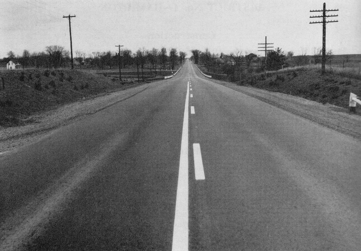
The highway begins at an intersection with Highway 8 near Peter's Corners and travels westward to meet Highway 6 at Clappisons Corners. The corridor is relatively short and primarily serves local and regional traffic rather than long-distance travel. Along its length the road passes through a mixture of farmland, small settlements and areas that have seen suburban development in recent decades, often described as rural areas with increasing commuter traffic toward nearby urban centres.
Characteristics and surroundings
Highway 5 is largely two lanes, with conventional at-grade intersections and local access to adjacent properties. Roadside features include agricultural land, low-density residential lots and sections that border conservation or greenbelt areas. Because the highway is short, there are few complex junctions; its primary role is to link local communities to the broader provincial network.
History and development
The route of Highway 5 follows a corridor that has served east–west movement in the region for many years. Like other numbered highways in the province, its alignment and length have been adjusted over time in response to changing transportation needs and jurisdictional transfers between provincial and municipal authorities. Today it remains a recognized part of Ontario's system of King's Highways.
Uses and importance
Although not a major arterial for cross-province travel, Highway 5 is important for local connectivity. It links residents, farms and businesses to higher-capacity routes and nearby urban centres, supporting daily commuting, agricultural transport and access to services. Its endpoints at Highway 8 and Highway 6 allow drivers to continue toward larger regional destinations or to connect with expressways.
Major connections and notable facts
- Eastern terminus: junction with Highway 8 near Peter's Corners.
- Western terminus: junction with Highway 6 at Clappisons Corners.
- Length: approximately 12.7 kilometres; mostly two-lane roadway maintained by provincial authorities.
- Setting: passes through mainly rural areas with pockets of suburban development.
For travelers and planners, Highway 5 is a small but useful segment of Ontario's road network, providing a straightforward east–west link that complements nearby higher-capacity routes and supports local mobility and economic activity. Further route details, traffic counts and maintenance information are usually available from provincial transportation publications and planning documents (provincial highway resources).
Related articles
Author
AlegsaOnline.com Ontario Highway 5 Leandro Alegsa
URL: https://en.alegsaonline.com/art/72691
Sources
- thekingshighway.ca : "The King's Highway 5"
- asphaltplanet.ca : "King's Highway 5 - www.OntHighways.com"