Oesling (Éislek): the upland region of northern Luxembourg
The Oesling (Luxembourgish: Éislek) is the forested, low-mountain region in northern Luxembourg, covering roughly one-third of the country. It is sparsely populated, part of the Ardennes and Eifel, and includes Kneiff (560 m).
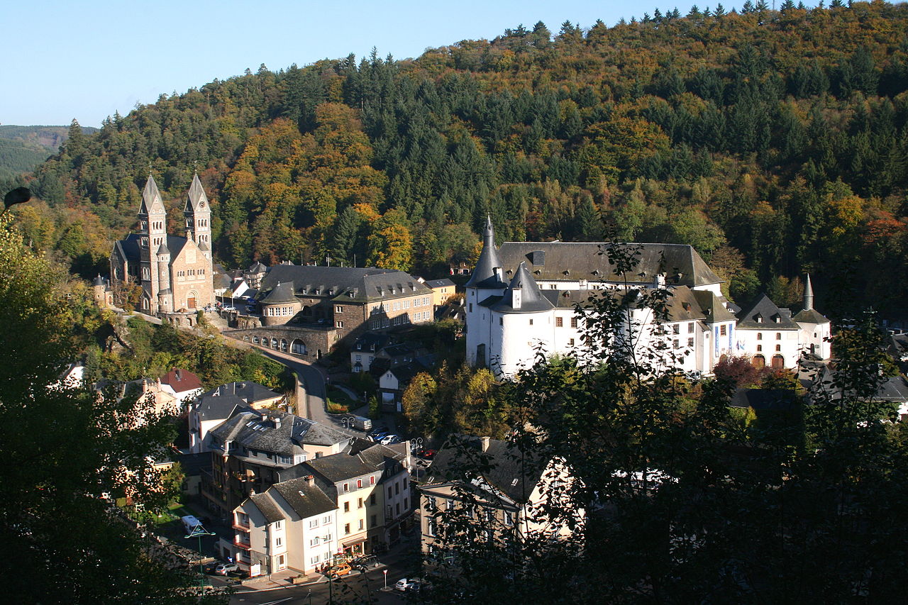
The Oesling (French: Oesling; Luxembourgish: Éislek) designates the hilly northern third of Luxembourg. It is a region of medium-altitude uplands characterized by rolling hills, deep river valleys and extensive forest cover. The Oesling differs markedly in landscape, land use and settlement pattern from the flatter, more densely inhabited Gutland to the south.
Image gallery
10 Images


Geography and landscape
Geographically the Oesling belongs to two wider European upland systems: it is part of the Ardennes (Ardennes) on one hand and the Eifel (Eifel) on the other, forming a transition between these ranges. Typical altitudes range from about 400 to 500 metres, with the Kneiff reaching the highest point in Luxembourg at 560 metres. The terrain is dissected by river valleys — notably those of the Sûre and the Our — which create scenic gorges and sheltered valleys.
Population, administration and land use
The Oesling covers nearly one-third of Luxembourg's territory but is home to only about ten percent of the national population (roughly 60,000 inhabitants). Settlements are small towns and villages rather than large urban centres. Historically the area largely corresponded to the former Diekirch administrative district, with some southern canton territories lying outside the highland zone. Land use is dominated by forestry, pasture and small-scale farming; industry and intensive agriculture are far less common than in the south.
History and cultural identity
The Oesling has a distinct rural identity within Luxembourg. Local dialects of Luxembourgish and traditional village life remain important. The region's position at the crossroads of Romance and Germanic Europe has influenced its cultural heritage, architecture and place names. Its border location has also meant that fortifications, old trade routes and small castles are common features of the cultural landscape.
Economy, recreation and conservation
Today the Oesling economy depends on forestry, agriculture, small businesses and tourism. Its forests, walking trails and river valleys attract hikers, cyclists and nature enthusiasts. Conservation efforts focus on preserving woodlands, freshwater habitats and the scenic character of the uplands. The low population density and protected landscapes make the Oesling valuable for biodiversity and outdoor recreation.
Notable distinctions and further reading
- The Oesling is frequently contrasted with Luxembourg's southern Gutland region for geology, climate and settlement.
- Its highest point, Kneiff (560 m), is the highest elevation in the country.
- For more on the local name and regional mapping see sources indexed under north of Luxembourg and the cultural term Éislek.
Readers seeking detailed maps, visiting information or conservation plans can consult regional guides and official resources that cover the Ardennes and Eifel borderlands as they relate to northern Luxembourg (Ardennes, Eifel).
Related articles
Author
AlegsaOnline.com Oesling (Éislek): the upland region of northern Luxembourg Leandro Alegsa
URL: https://en.alegsaonline.com/art/72002