Malheur County, Oregon — overview, geography, history and economy
Malheur County is a large, sparsely populated county in southeastern Oregon. Its county seat is Vale and the region is known for irrigated agriculture, ranching, and high desert landscapes along the Snake and Owyhee rivers.
Malheur County is located in southeastern Oregon. The county seat is Vale, while Ontario is the region's largest city near the Idaho border. According to the 2010 U.S. census (2010 census), the county had a population of 31,313. Much of the county is rural, with communities clustered along river valleys and transportation corridors.
Image gallery
6 Images


Geography and natural features
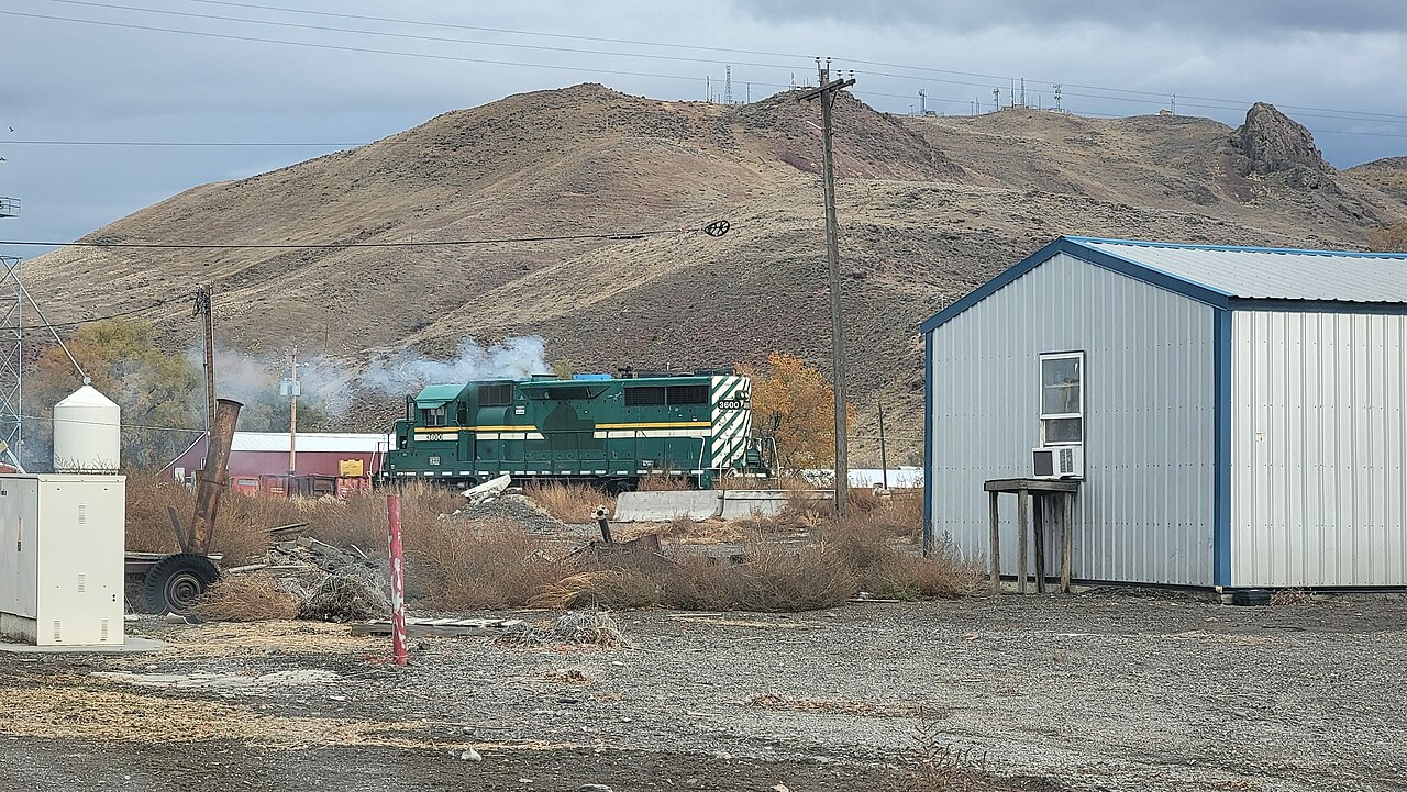
Malheur County encompasses a mix of high desert basins, mountain ranges, and river valleys. The Snake River forms part of its eastern boundary and supports irrigated farming in the Treasure Valley. Other notable features include the Owyhee River and rugged canyonlands to the west. The landscape supports sagebrush steppe, riparian corridors along streams, and pockets of irrigated cropland.
History and settlement
Settlement intensified in the 19th century with routes used by emigrants and later railroad and irrigation developments. Small towns grew where water and transportation allowed, and ranching and dryland farming have long been central to the county's development. Vale grew as a regional service center and remains the administrative seat.
Economy and land use
Agriculture and ranching are the dominant economic activities. Irrigated fields in river valleys produce alfalfa, onions, potatoes and other crops, while extensive grazing lands support cattle operations. Resource management, recreation and local services also contribute; cross-border commerce with Idaho affects communities close to the state line.
Communities and notable facts
The county includes several small towns and unincorporated places. Ontario and Vale are principal municipalities; others serve local agricultural areas. Malheur County is notable for its combination of arid highlands and fertile river valleys, its role in regional ranching and farming, and for providing access to scenic canyonlands and outdoor recreation.
Related articles
Author
AlegsaOnline.com Malheur County, Oregon — overview, geography, history and economy Leandro Alegsa
URL: https://en.alegsaonline.com/art/61011