
Kémo Prefecture (Central African Republic)
Kémo is a prefecture in the central Central African Republic with capital Sibut, named for the Kémo River; notable for its agriculture, riverine landscapes and administrative role within the country.
Overview
Kémo is one of the administrative prefectures of the Central African Republic. Its capital is Sibut, and the area takes its name from the Kémo River that runs through the region. The prefecture functions as a regional tier of government within the national system of prefectures.
Image gallery
3 Images

Geography and environment
The landscape of Kémo combines river valleys, gallery forests and savanna. The Kémo River and smaller tributaries influence local agriculture, settlement patterns and seasonal transportation. Soils and climate support subsistence crops and patches of natural vegetation that provide habitat for a variety of wildlife.
Administration and settlements
Kémo is administered from Sibut, which is the main urban center and administrative hub. The prefecture is divided into smaller local units for governance and public services. Villages and towns around Sibut are linked by road and river routes, though infrastructure quality varies across the territory.
Economy and society
The local economy is primarily agricultural, based on smallholder farming, livestock and artisanal activities. Produce is consumed locally and sold in markets in Sibut and other towns. Public services, schools and clinics serve urban and rural residents, but access can be limited in remote areas.
History and contemporary issues
Kémo shares in the broader history of the country, including periods of colonial administration and post-independence change. In recent decades the prefecture has experienced the effects of national political instability, which have influenced security, displacement and humanitarian needs at times.
Notable features and importance
- Riverine influence: the Kémo River shapes agriculture, fishing and local transport.
- Administrative role: Sibut serves as a regional center for government services.
- Biodiversity: forest and savanna mosaics support local wildlife and natural resources.
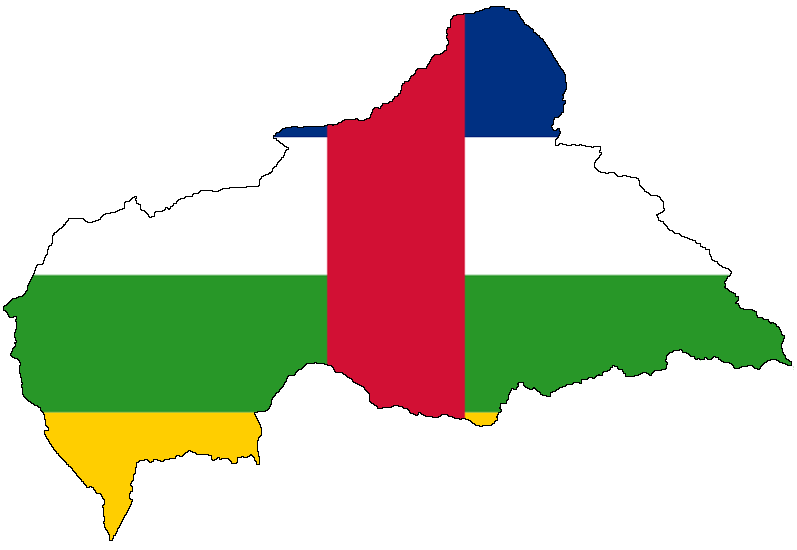
Kémo is a representative example of the country’s central prefectures where natural waterways, rural livelihoods and administrative functions combine. For broader context on national administration and geography, see resources linked to the country and its systems of prefectures and national maps of the Central African Republic.
Related articles
Author
AlegsaOnline.com Kémo Prefecture (Central African Republic) Leandro Alegsa
URL: https://en.alegsaonline.com/art/52800
Sources
- stat-centrafrique.com : "Population Prefecture"
- statoids.com : "Central African Republic Prefectures"
- tools.wmflabs.org : 5°45′N 19°05′E / 5.750°N 19.083°E / 5.750; 19.083