Heers (Belgium) — municipality in Limburg
Heers is a rural municipality in the Belgian province of Limburg, known for its agricultural landscape, local heritage and small-village character. Coordinates: 50°45′N 5°18′E.
Overview
Heers is a municipality in the Belgian province of Limburg. It lies in the northeastern part of Belgium and retains a largely rural character, with small settlements, farms and local services. For administrative details see the municipality page: Heers municipal information. The country is Belgium within the province-level administration (province) of Limburg.

Image gallery
3 Images

Key facts
- Coordinates: 50°45′ North, 5°18′ East (50.75°N, 5.30°E).
- Population snapshot: the municipality recorded 6,812 inhabitants in 2007; local counts vary over time.
- Character: mainly agricultural with village centers and scattered hamlets.
History and development
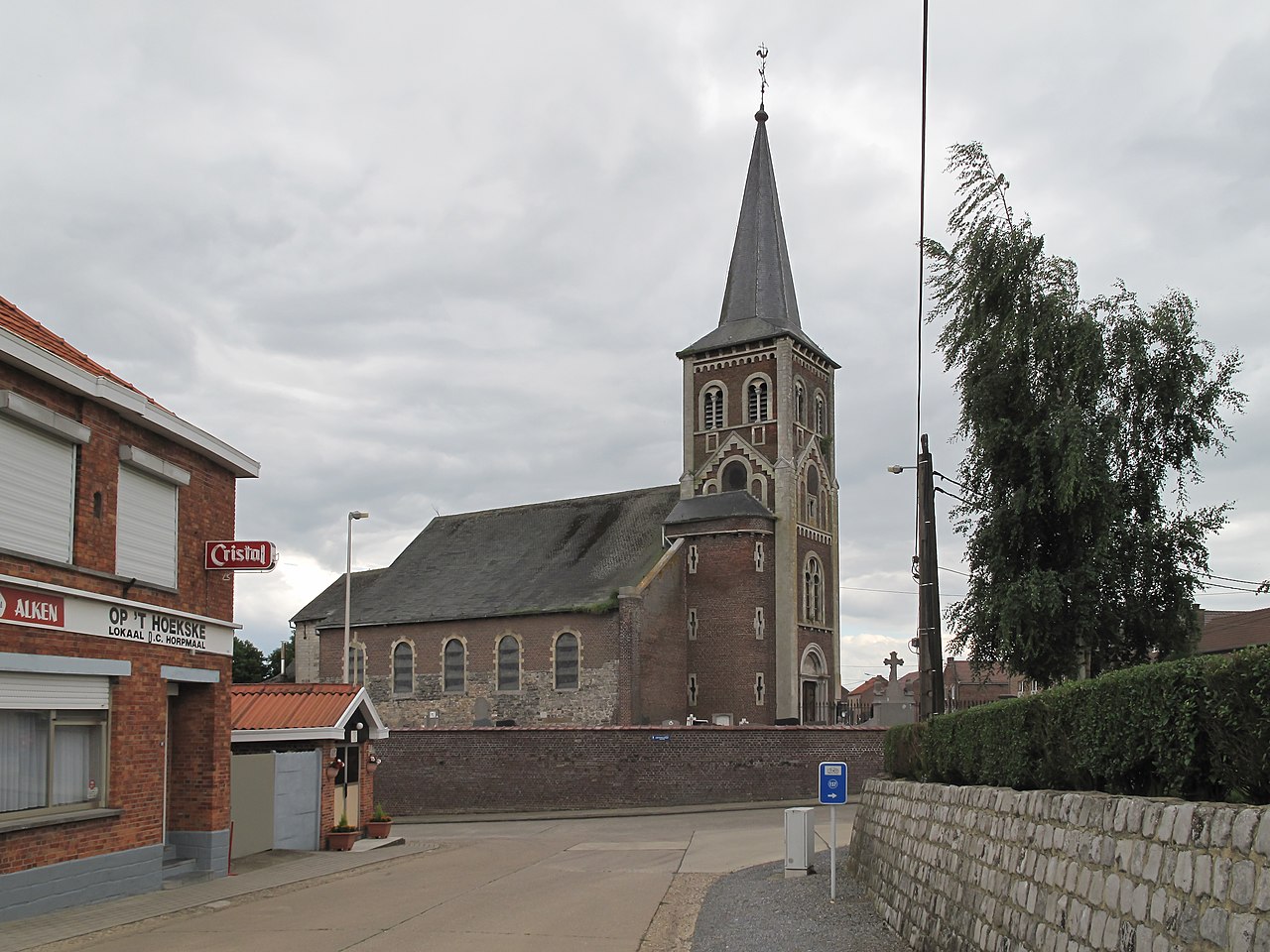
Like many places in Limburg, Heers has medieval roots and developed around local manors, farms and parish churches. Over centuries the area adapted from feudal landholdings to modern municipal administration. Historic buildings, old farmsteads and traces of earlier settlement periods can still be found in and around the villages.
Geography, governance and population
The municipality covers agricultural land, meadows and small woods typical of the Limburg plain. It is governed by a local council and mayor within the Belgian municipal system. Population density is low compared with nearby urban centers; demographic changes reflect rural trends such as aging populations and commuting to larger towns for work.
Economy, culture and attractions
The local economy is centred on agriculture, small-scale industry and services supporting village life. Cultural life is often organised around community halls, churches and annual events. Visitors may find regional architecture, historic farm buildings and quiet countryside routes.

Notable points and practical information
Heers is representative of small Limburg municipalities: important for local food production, regional heritage and as a living example of Belgium's decentralized municipal network. For more specific resources and visitor information consult the municipal portal: official site or provincial information at the province page.
Related articles
Author
AlegsaOnline.com Heers (Belgium) — municipality in Limburg Leandro Alegsa
URL: https://en.alegsaonline.com/art/43221
Sources
- statbel.fgov.be : Werkelijke bevolking per gemeente op 1 januari 2007 / Population de droit par commune au 1 janvier 2007 (.xls)
- statbel.fgov.be : Geografische coördinaten van de gemeenten (.xls)