Geosynchronous orbit
An Earth-centered orbit with an orbital period equal to the Earth's rotation, including the special equatorial geostationary case used for communications, weather monitoring, and broadcasting.
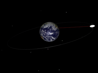
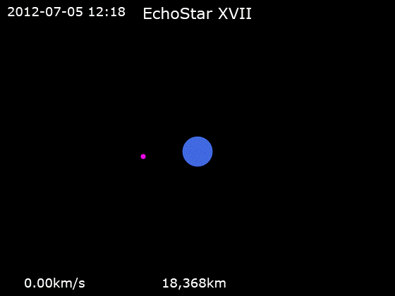
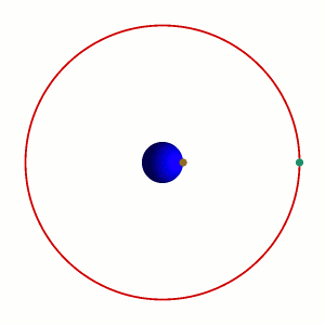
A geosynchronous orbit is an Earth-centered orbit whose orbital period matches the rotation period of the Earth. In practical terms a satellite in a geosynchronous orbit completes one revolution relative to the stars in one sidereal day (about 23 hours 56 minutes), which places it at an altitude of roughly 35,786 km (about 22,236 miles) above mean sea level. Because the satellite returns to the same position over the Earth after each day, observers on the ground see a repeating daily path.
Image gallery
9 Images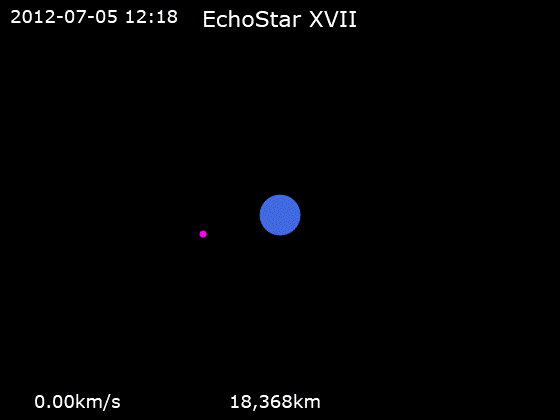


Key characteristics
Not all geosynchronous orbits are identical. Their defining feature is the period, but other orbital parameters determine how they appear from the ground:
- Altitude: Approximately 35,786 km above Earth's surface for the nominal geosynchronous radius.
- Inclination: If the orbit lies in the equatorial plane (zero inclination) and has near-zero eccentricity, it is geostationary and appears fixed over one longitude.
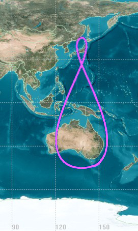
- Eccentricity and inclination effects: Nonzero inclination or eccentricity produces an apparent daily motion on the sky (often an analemma or figure-eight ground track).
- Ground coverage: A single geostationary satellite can continuously serve a large region near the equator but cannot provide continuous coverage of polar areas.
History and terminology
The idea of using high equatorial orbits for communications and broadcasting became famous after mid-20th-century proposals; the name "Clarke orbit" honors Arthur C. Clarke, who popularized the concept. The term "geosynchronous" emphasizes matching Earth's rotation, while "geostationary" refers specifically to the stationary-on-the-ground special case directly above the equator. For accessible introductory material see orbit basics and general Earth reference pages such as Earth overview.
Uses and operational considerations
Geosynchronous and geostationary orbits are heavily used because a satellite can provide continuous service to the same region. Common applications include:
- communications relays and direct-to-home broadcasting;
- weather observation and environmental monitoring;
- maritime and aeronautical communications; emergency and television broadcasting;
- satellite radio and data distribution.
Satellites bound for geosynchronous altitudes are frequently launched into a geostationary transfer orbit (GTO) and then raised to final orbit using onboard propulsion. Once in position, operators perform periodic station-keeping maneuvers to counteract perturbations from Earth's equatorial bulge, lunar and solar gravity, and solar radiation pressure. Regulatory coordination of orbital slots and frequencies is managed internationally to reduce interference; see material on the geostationary arc at geostationary orbit details.
Limitations and notable facts
There are important trade-offs to using geosynchronous orbits. The large distance produces significant signal latency (hundreds of milliseconds round-trip), which affects latency-sensitive services. Coverage diminishes toward the poles, so alternative high-inclination or highly elliptical orbits (for example, Molniya or Tundra orbits) are used for high-latitude coverage. The geosynchronous belt has become crowded over decades, so concerns about orbital debris and end-of-life disposal (moving satellites to a higher "graveyard" orbit) are operational realities for satellite operators.
In summary, geosynchronous orbits form a vital component of modern space infrastructure: they enable continuous regional services from a fixed orbital rhythm, with the special geostationary configuration providing the familiar "always in the same spot" capability used by many communications and weather satellites.
Related articles
Author
AlegsaOnline.com Geosynchronous orbit Leandro Alegsa
URL: https://en.alegsaonline.com/art/38375