Flond — former municipality in Graubünden, Switzerland
Flond was a small former municipality in the Surselva district of Graubünden, Switzerland. It merged with Surcuolm to form Mundaun on 1 January 2009. Overview of location, history, language and local character.

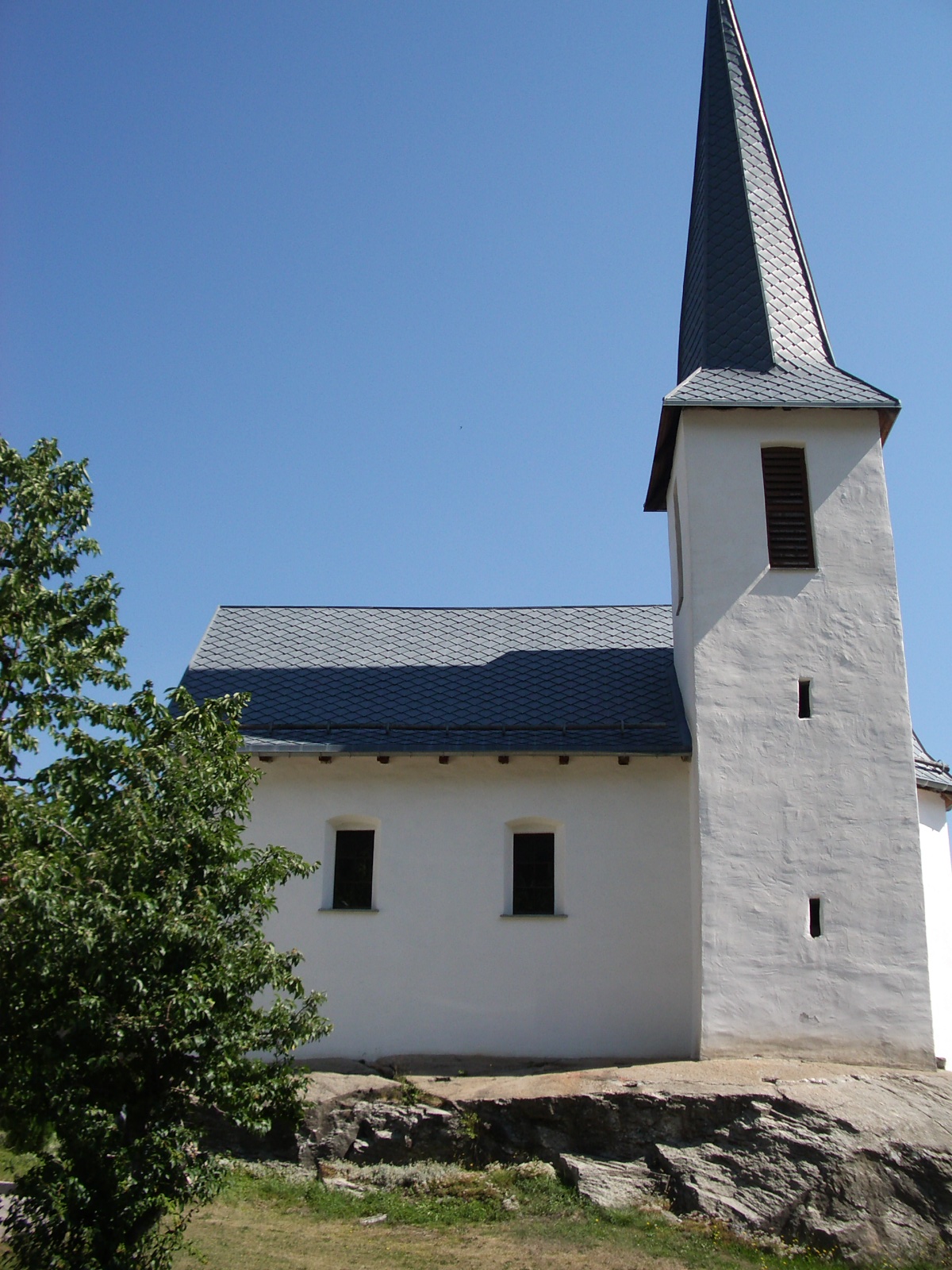
Flond was a small, rural locality in eastern Switzerland that served as an independent municipality until administrative reorganization in 2009. It lay within the district of Surselva, in the mountain canton of Graubünden (Grisons), one of the three Swiss cantons with multiple official languages. Flond formed part of the local pattern of small alpine settlements that combine agriculture, forestry and seasonal tourism.
Image gallery
5 Images


Geography and location
Flond occupied a hillside and valley setting typical of the central Alps, set among pastures, forest and steep slopes. Its geographic position in Switzerland can be cited by coordinates: 46°46′N 9°09′E (approx. 46.767°N, 9.150°E). The landscape and climate influenced traditional livelihoods and shaped roads and footpaths linking the community to neighbouring villages and valley towns.
History and administrative change
Like many settlements in the region, Flond has roots in the medieval period as a clustered farming community; written records and local memory recall centuries of alpine farming, transhumance and village life. On 1 January 2009 the former municipalities of Flond and Surcuolm were merged to form the new municipality of Mundaun, part of a broader Swiss trend of municipal consolidation intended to improve administrative efficiency, public services and financial sustainability.
Language, culture and community
The cultural fabric of Flond reflected the multilingual character of Graubünden: local inhabitants commonly used regional varieties of Romansh or German, and traditional customs—festivals, folk music and alpine farming practices—continued to mark community life. Buildings often display the architecture and stonework typical of mountain villages in the region.
Economy, land use and access
The local economy historically centred on mixed agriculture, dairy and livestock grazing, with forestry and small-scale crafts supplementing incomes. Today, seasonal tourism—hiking, nature observation and rural hospitality—complements farming. Access to the area is by mountain roads and valley routes; public transport services and walking trails connect former municipal settlements to larger service centres.
Notable distinctions
- Former administrative status: independent municipality until 2009 (municipality).
- Part of the Surselva district and the trilingual canton of Graubünden (Surselva, Graubünden).
- Merged with neighbouring Surcuolm to create Mundaun, reflecting a national trend of consolidation (Surcuolm, Mundaun).
- Geographic reference: coordinates available for mapping and orientation (46°46′N 9°09′E).
For readers seeking administrative or historical records, local cantonal archives and municipal offices in Graubünden maintain documentation about former municipalities and the consolidation processes that created new entities such as Mundaun. Additional regional context is available through district-level resources and national overviews of Swiss municipal organization.
Related articles
Author
AlegsaOnline.com Flond — former municipality in Graubünden, Switzerland Leandro Alegsa
URL: https://en.alegsaonline.com/art/35155