Fajardo, Puerto Rico: coastal municipality and marine gateway
Fajardo is an eastern Puerto Rico municipality on the Atlantic coast. Known for marinas, island ferries and a bioluminescent bay, it serves as a regional center for tourism, fishing and access to offshore islands.
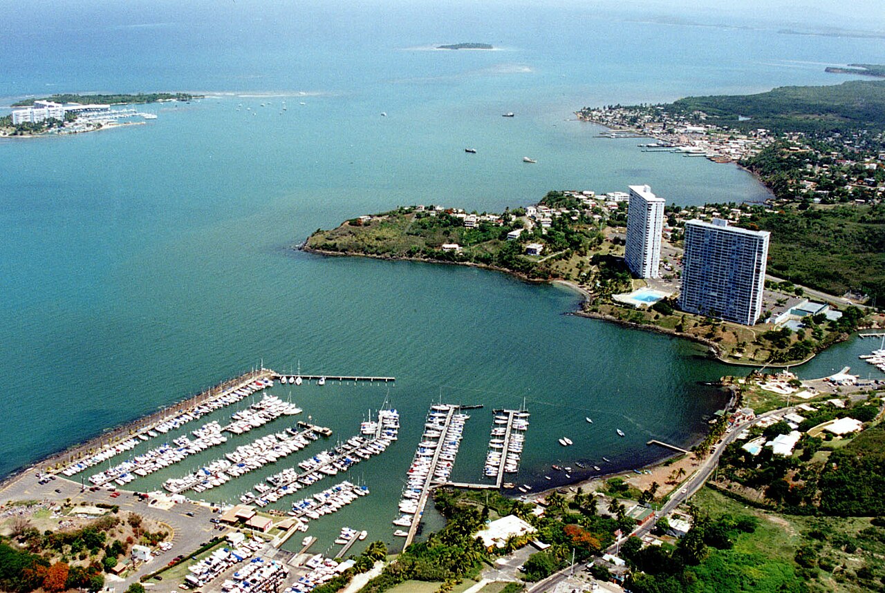
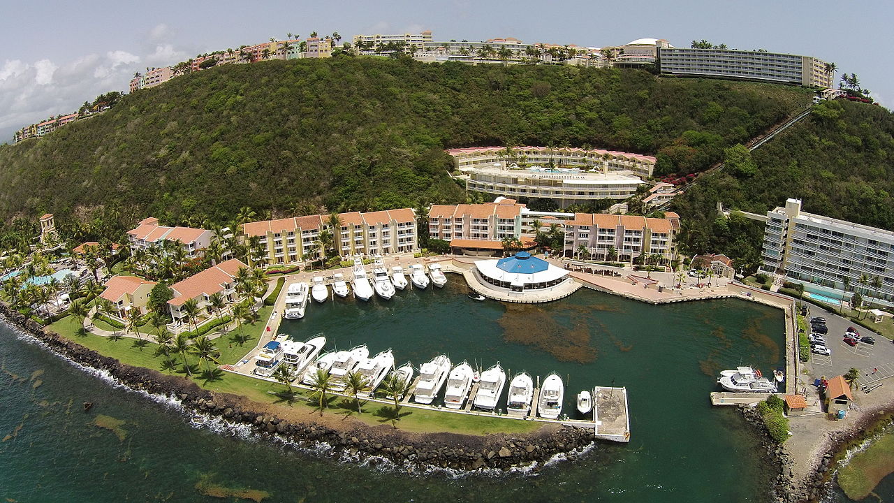
Fajardo is a coastal municipality on the eastern tip of Puerto Rico, facing the Atlantic Ocean. It lies north of Ceiba and east of Luquillo and combines a compact downtown (the barrio-pueblo) with several surrounding barrios. The town functions as both a local administrative center and a transportation hub for nearby islands and coastal recreation.
Image gallery
10 Images


Geography and layout
The municipality includes a central pueblo and a number of outlying barrios. Its shoreline features marinas, beaches and boat landings that serve private and commercial traffic. Vegetation ranges from coastal scrub to verdant hills inland; the area is also influenced by the nearby rainforest of the eastern interior.
Economy and uses
Fajardo's economy is driven largely by tourism, recreational boating, and fishing. The town is a common departure point for day trips and charters to offshore islands, snorkeling sites and private cays. Local businesses include hotels, restaurants serving seafood, tour operators and services that support pleasure craft and small commercial vessels.
Attractions and notable facts
- Laguna Grande, a nearby bioluminescent bay, attracts evening kayak tours to view glowing organisms.
- Multiple marinas and ferry services provide access to islands and coastal attractions.
- Proximity to jungle and mountain areas makes day trips to nearby natural reserves popular.
Visitors appreciate Fajardo for its marine access, outdoor recreation and a compact town center where civic life and local festivals continue to be important. While modern amenities support tourism, many neighborhoods retain a local, small-town character.
Historically the area was inhabited before European contact and later developed under Spanish colonial administration. Today Fajardo balances its role as a transportation gateway with efforts to preserve coastal ecosystems and the quality of its bays and beaches.
Related articles
Author
AlegsaOnline.com Fajardo, Puerto Rico: coastal municipality and marine gateway Leandro Alegsa
URL: https://en.alegsaonline.com/art/33317