Evere (municipality of the Brussels-Capital Region)
Evere is a northeastern municipality of the Brussels-Capital Region in Belgium. It is officially bilingual (French/Dutch), has a mixed urban character and a history from rural village to 20th‑century suburb.
Evere is a municipality in the heart of Belgium. It is one of the 19 local municipalities that form the Brussels-Capital Region, and is administratively part of the country commonly referred to as Belgium. Locally it is governed as a bilingual (French and Dutch) commune; the word municipality (commune/gemeente) is used for the local authority that provides civic services.
Image gallery
5 Images


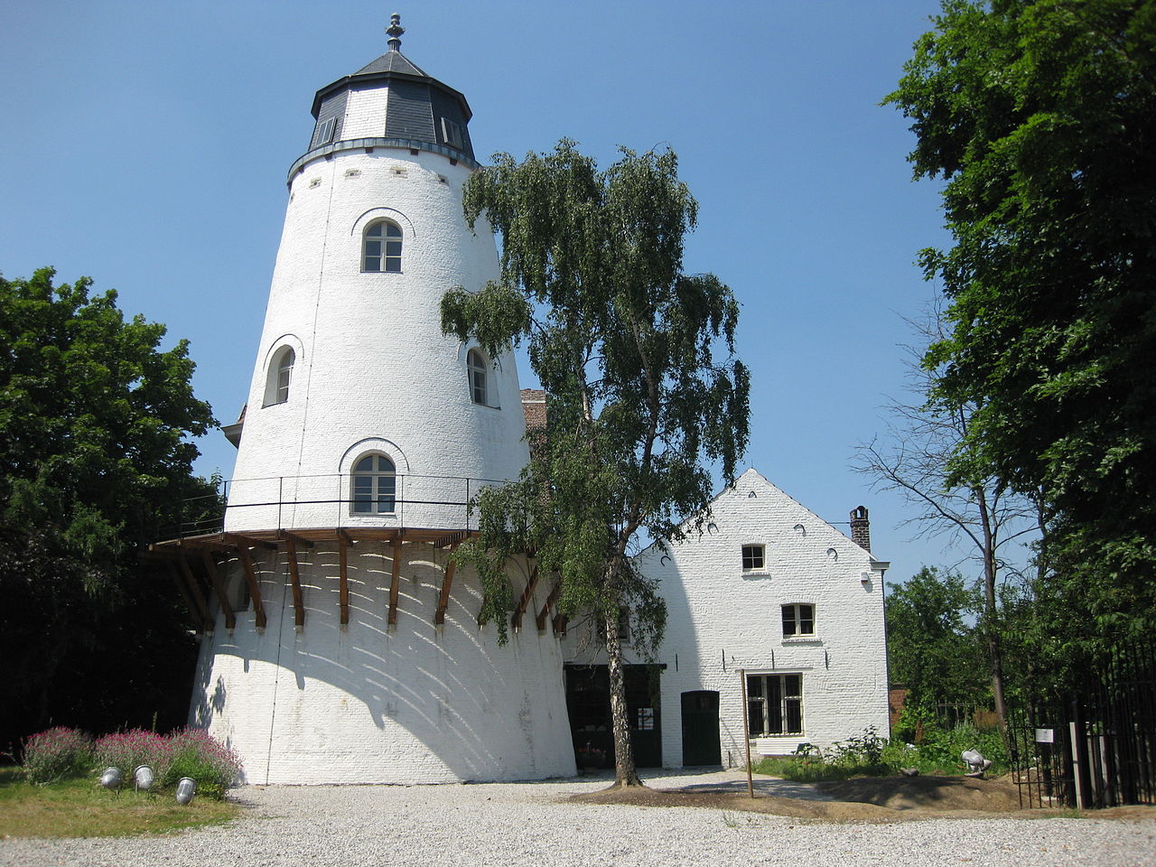

Geography and population
Evere lies in the northeastern sector of the Brussels urban area. Its geographic coordinates are approximately 50°52′N, 4°24′E. The municipality occupies a modest urban territory that combines residential districts, small industrial zones and public green spaces. In 2007 the recorded population was about 34,128 inhabitants; since then the area has experienced typical metropolitan changes in population and housing without large rural reserves.
History and development
Originally a rural village on the outskirts of Brussels, Evere became more urbanised during the 19th and 20th centuries as the city expanded. Farmland gave way to housing, small factories and transport infrastructure. Like many Brussels municipalities it developed a mixed identity shaped by waves of migration, suburban growth and the gradual replacement of agricultural land with urban uses.
Government, language and services
As a municipality of the Brussels-Capital Region, Evere operates its own town council and mayor and provides local public services such as schools, civil registration and local policing. French and Dutch have equal official status in municipal administration, signage and public communications. The commune runs local cultural centres, parks and community programmes typical of a dense European city district.
Transport, economy and places of interest
Evere benefits from Brussels’s wider transport network: roads, bus and tram services and nearby regional rail links make it accessible to the rest of the capital. The local economy includes retail, light industry and services that cater to a primarily residential population. Notable local features typically include municipal parks, neighbourhood markets and civic buildings such as the town hall, schools and community centres.
Notable facts
- Part of the bilingual Brussels-Capital Region and subject to regional governance as well as municipal administration.
- Transitioned from rural village to inner-suburban municipality over the last two centuries.
- Coordinates: 50°52′N, 4°24′E, placing it in the northeastern arc of Brussels.
For official information, municipal services and practical details consult local sources or the regional portals that govern Brussels and its communes.
Related articles
Author
AlegsaOnline.com Evere (municipality of the Brussels-Capital Region) Leandro Alegsa
URL: https://en.alegsaonline.com/art/32760
Sources
- statbel.fgov.be : Werkelijke bevolking per gemeente op 1 januari 2007 / Population de droit par commune au 1 janvier 2007 (.xls)
- statbel.fgov.be : Geografische coördinaten van de gemeenten (.xls)