Etchū Province: historical Japanese province in today's Toyama region
Etchū Province (越中国) was a historical province on Honshū, corresponding largely to modern Toyama Prefecture; it had coastal ports, mountain borders, and a legacy in regional administration and culture.
Overview
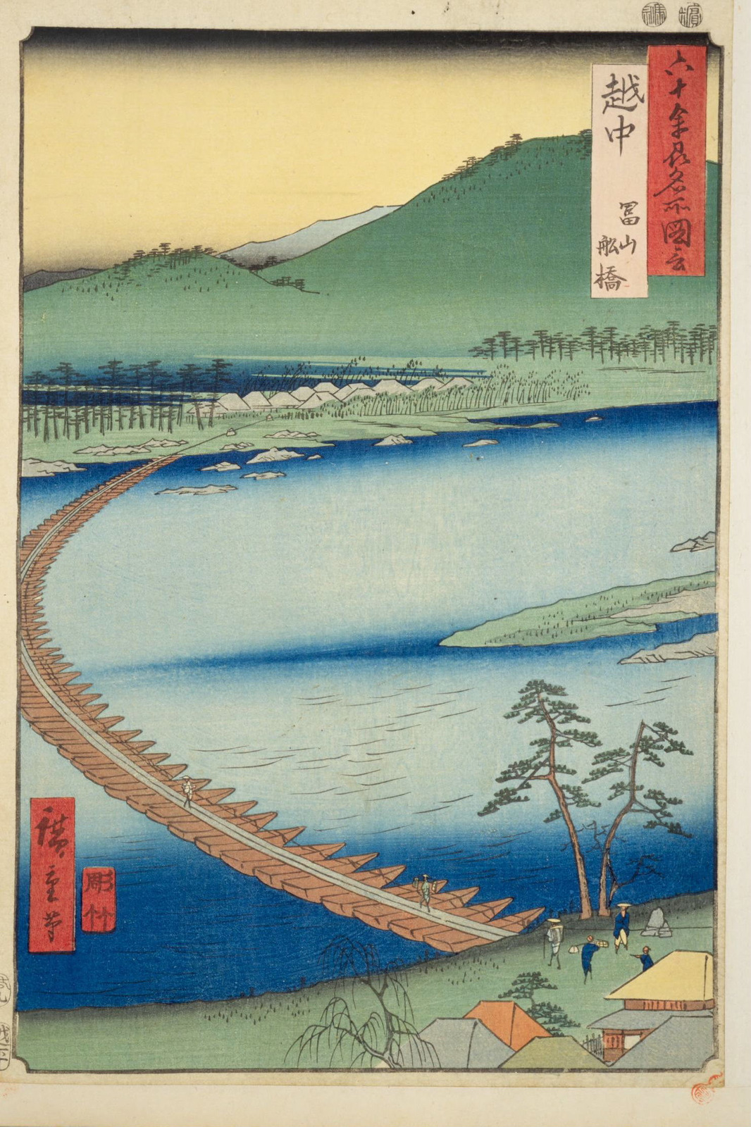
Etchū Province (越中国, Etchū no kuni) was an administrative region of premodern Japan located on the Sea of Japan side of Honshū. Its territory largely corresponds to present-day Toyama Prefecture. Etchū formed part of a trio of provinces sharing the element "Echi/Etchi" in their names and is often mentioned alongside Echizen and Echigo under the collective name Esshū (越州).
Image gallery
3 Images

Geography and boundaries
The province combined a narrow coastal plain and productive fisheries with rising inland mountains that linked it to central Japan. Its strategic location gave it both maritime access and mountain passes toward the interior. Historical records and maps show its neighboring provinces; a useful reference is available as a provincial borders map.
- Echigo (north/ northeast)
- Shinano (east)
- Hida (southeast)
- Kaga (southwest)
- Noto (west, across the Noto Peninsula)
History and administration
Etchū emerged as a distinct unit under the ritsuryō system that organized Japan into provinces during the Nara and Heian periods. Like other provinces it was governed by appointed officials and maintained a provincial capital, religious institutions, and military obligations. In the modernizing reforms of the Meiji era, the provincial system was abolished and Etchū's lands were reorganized into prefectural administrations, eventually forming most of what is now Toyama Prefecture.
Capital, economy and culture
The provincial capital is recorded in some sources as centered near the castle towns and temple complexes that later became urban centers; one traditional seat associated with Etchū administration is Takaoka. Throughout its history the province combined coastal fisheries and maritime trade with inland agriculture and craft production. Its towns developed shrines, temples, and castle precincts that served as local cultural hubs and regional markets.
Legacy and distinctions
Etchū's identity survives in place names, archaeological sites, and regional history. It is frequently discussed together with Echizen and Echigo as part of the historical "Echi/Etchi" region, reflecting an older geographic labeling where the prefixes (front, middle, back) distinguished relative positions. Modern scholarship and local museums preserve documents, maps, and material culture that illustrate Etchū's role in medieval and early modern Japan.
For maps, primary-source transcriptions, and further reading on administrative changes and local sites, consult archival guides and regional histories available through specialized repositories and local historical associations (see overview, regional guide). Additional context on neighboring provinces and territorial links can be found via linked entries for Shinano, Hida, Kaga, and Noto.
Related articles
Author
AlegsaOnline.com Etchū Province: historical Japanese province in today's Toyama region Leandro Alegsa
URL: https://en.alegsaonline.com/art/32358
Sources
- books.google.com : "Etchū"
- books.google.com : Annales de l'Extrême Orient et de l'Afrique, Vol. 6, p. 172
- books.google.com : "Provinces and prefectures"
- eos.kokugakuin.ac.jp : "Nationwide List of Ichinomiya," p. 2