Alipurduar district, West Bengal — overview and administration
Alipurduar district in northern West Bengal, India, formed in 2014. Overview of geography, administration, towns, economy, ecology and transport, with key subdivisions and places of interest.
Overview
Alipurduar district is a district in the northern part of West Bengal, India. Created in 2014 from the northern portion of the former Jalpaiguri district, it serves as an administrative and commercial centre for the surrounding Dooars plains. The city of Alipurduar is the district headquarters. The region blends agricultural land, forested hills and protected wildlife areas and lies near the international border.
Image gallery
9 Images


Administration and towns
The district is divided into six community development blocks and governed through a mix of urban municipalities, census towns and rural gram panchayats. Local administration focuses on rural development, forest management and cross-border trade regulation.
- Community development blocks: Madarihat-Birpara, Alipurduar I, Alipurduar II, Falakata, Kalchini, Kumargram.
- Census towns include: Paschim Jitpur, Chechakhata, Alipurduar Railway Junction, Bholar Dabri, Sobhaganj, Falakata, Jaygaon, Uttar Latabari, and Uttar Kamakhyaguri.
Geography and ecology
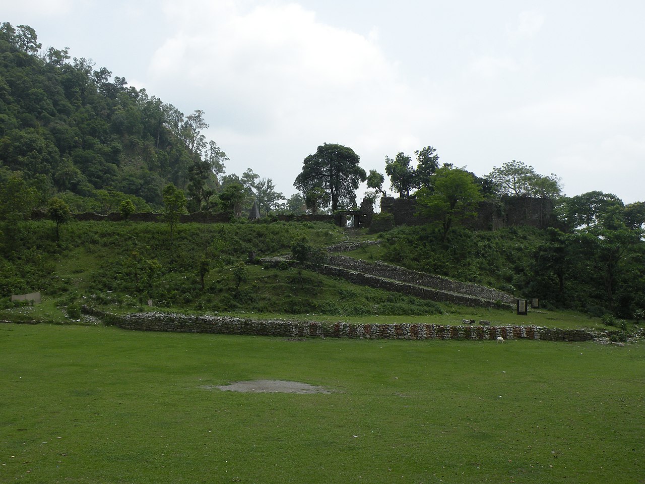
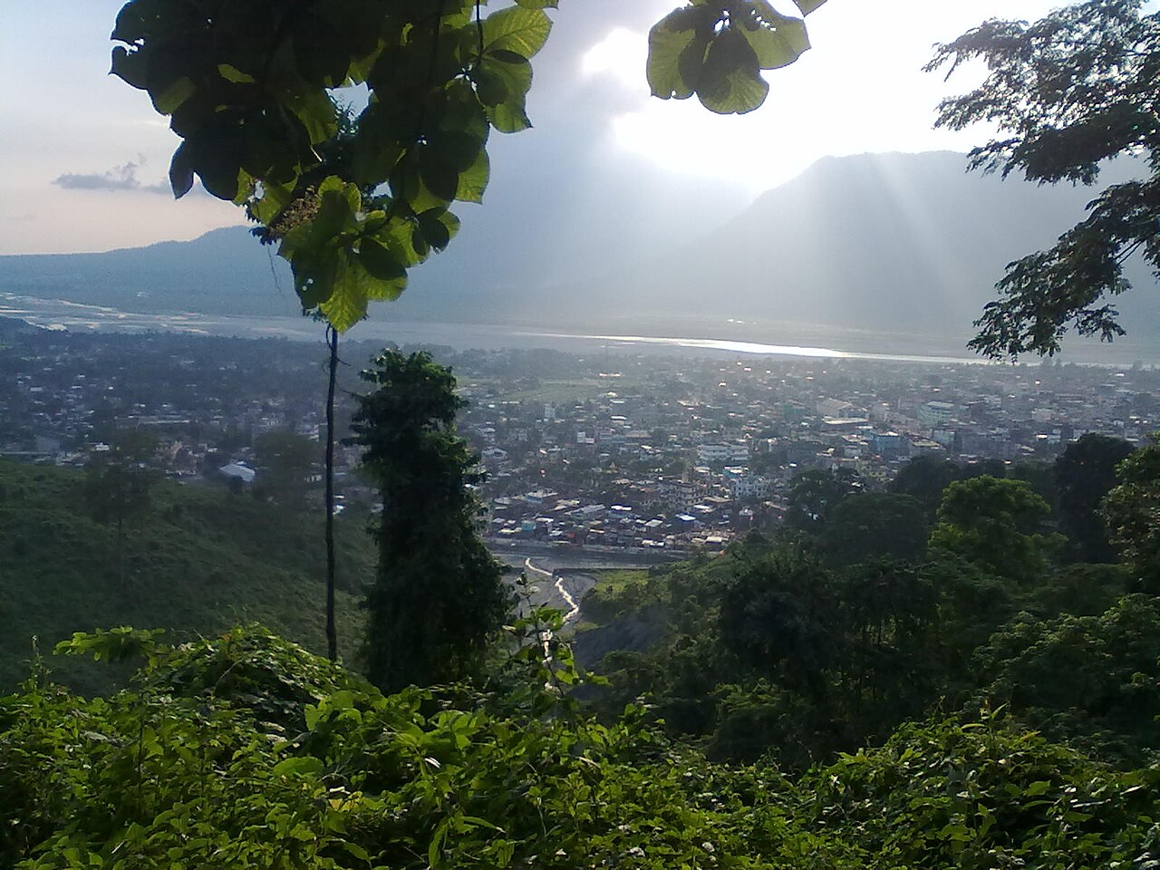
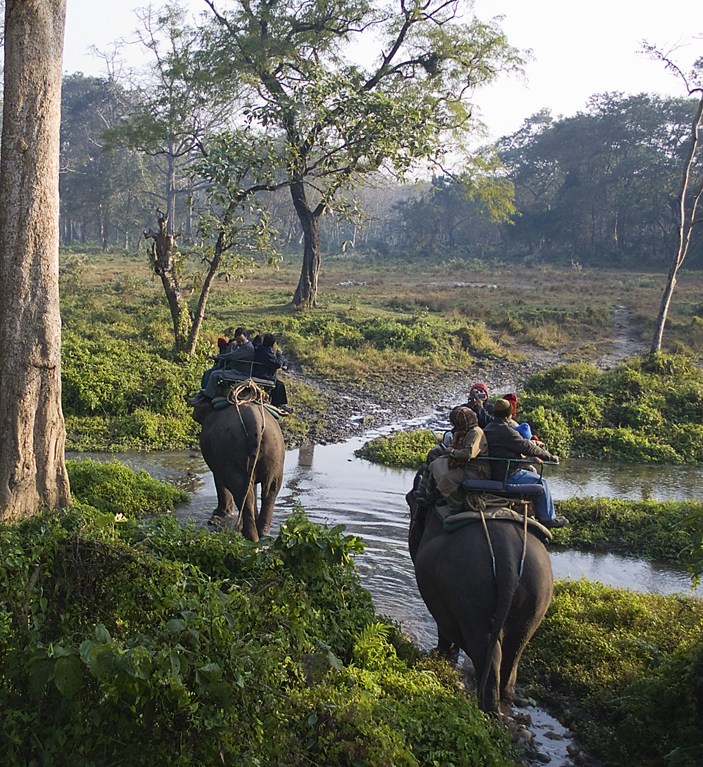
Alipurduar lies in the Dooars, the lowland region at the foothills of the eastern Himalaya. The landscape comprises riverine plains, patches of sal and mixed deciduous forest, and tea gardens. The district is notable for protected areas and wildlife corridors; nearby reserves provide habitat for a variety of mammals and birds and are important for conservation and eco-tourism.
Economy, transport and services
The local economy depends on agriculture, tea cultivation, forestry and services linked to transportation and tourism. Rail and road networks connect the district to regional markets, while river systems support irrigation. The Alipurduar Junction railway station is a key rail interchange for passenger and freight movement in the region.
History and notable facts
Historically part of larger administrative units, the area gained district status in 2014 to improve governance and accelerate development. Its cultural landscape reflects a mix of indigenous communities and migrant populations associated with tea plantations and trade routes. Conservation of forest and wildlife resources, balanced development of rural infrastructure, and cross-border links remain central to its ongoing growth.
For further administrative details and maps consult official sources and district publications via local government portals or regional planning documents.
Related articles
Author
AlegsaOnline.com Alipurduar district, West Bengal — overview and administration Leandro Alegsa
URL: https://en.alegsaonline.com/art/2635
Sources
- timesofindia.indiatimes.com : "Times of India - Creation of new district"
- wbdemo5.nic.in : "Directory of District, Sub division, Panchayat Samiti/ Block and Gram Panchayats in West Bengal, March 2008"
- web.cmc.net.in : "District Wise List of Statutory Towns (Municipal Corporation, Municipality,Notified Area and Cantonment Board), Census Towns and Outgrowths, West Bengal, 2001"