Darnestown, Maryland
Unincorporated community and census-designated place in Montgomery County, Maryland, combining suburban neighborhoods, rural landscapes, and conservation land near the Potomac River.
Overview
Darnestown is an unincorporated community and census-designated place located in Montgomery County, Maryland, in the United States. It lies within the Washington metropolitan area and is commonly described as a mix of suburban residential neighborhoods, older farmsteads, and preserved open space. Because it is unincorporated, local governance and public services are provided by Montgomery County rather than by a municipal government.
Image gallery
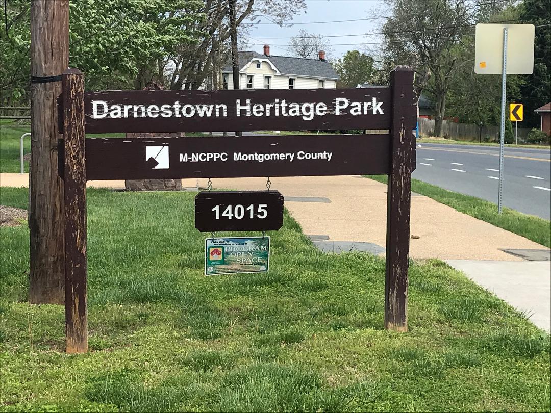
10 Images


History and origins
The settlement grew from 18th- and 19th-century agricultural roots. Early roads and farmsteads formed a rural crossroads community that served surrounding farms and mills. The place name reflects local families and landowners from that period, and a number of historic buildings and small cemeteries attest to its long rural past. Over the 20th century the area gradually became more residential as suburban development extended outward from central Montgomery County.
Geography and landscape
Darnestown is set near creek valleys that drain to the Potomac River, giving the area rolling terrain, wooded stream corridors, and a mix of residential lots and preserved agricultural land. Parks, trails, and conservation easements help retain green corridors that are valued by residents for recreation and habitat. Roads such as Darnestown Road connect the community with nearby towns and employment centers in the region.
Community character and services
The community contains single-family homes, some larger estate and equestrian properties, and small commercial clusters that serve local needs. Schools, policing, libraries, and public works are administered by Montgomery County Public Schools and county agencies. Many residents commute to jobs elsewhere in the Baltimore–Washington region while enjoying a quieter suburban-rural setting at home.
Notable facts and further context
- Because it is a census-designated place rather than an incorporated town, Darnestown does not have a municipal government.
- Its combination of historical buildings, active farmland, and protected natural areas illustrates the transition many outer suburbs have experienced from agricultural to residential land use.
- Visitors and residents use local trails and waterways for outdoor recreation, while community groups often focus on preservation and historic awareness.
For statistical profiles, mapping, or county-level resources about the area, follow local planning and county information links provided by regional agencies and community organizations.
Related articles
Author
AlegsaOnline.com Darnestown, Maryland Leandro Alegsa
URL: https://en.alegsaonline.com/art/25561