Aalter (Belgium) — municipality in East Flanders
Aalter is a municipality in East Flanders, Belgium. Located between Ghent and Bruges, it grew around transport links and absorbed Knesselare in 2019. Coordinates: 51°05′N, 03°26′E.
Overview
Aalter is a municipality in the Flemish Region of Belgium. It lies in the province of East Flanders and functions as a local administrative and residential centre. The town occupies a position roughly between the larger cities of Ghent and Bruges, and is commonly identified by its coordinates 51°05′N, 03°26′E.
Image gallery
7 Images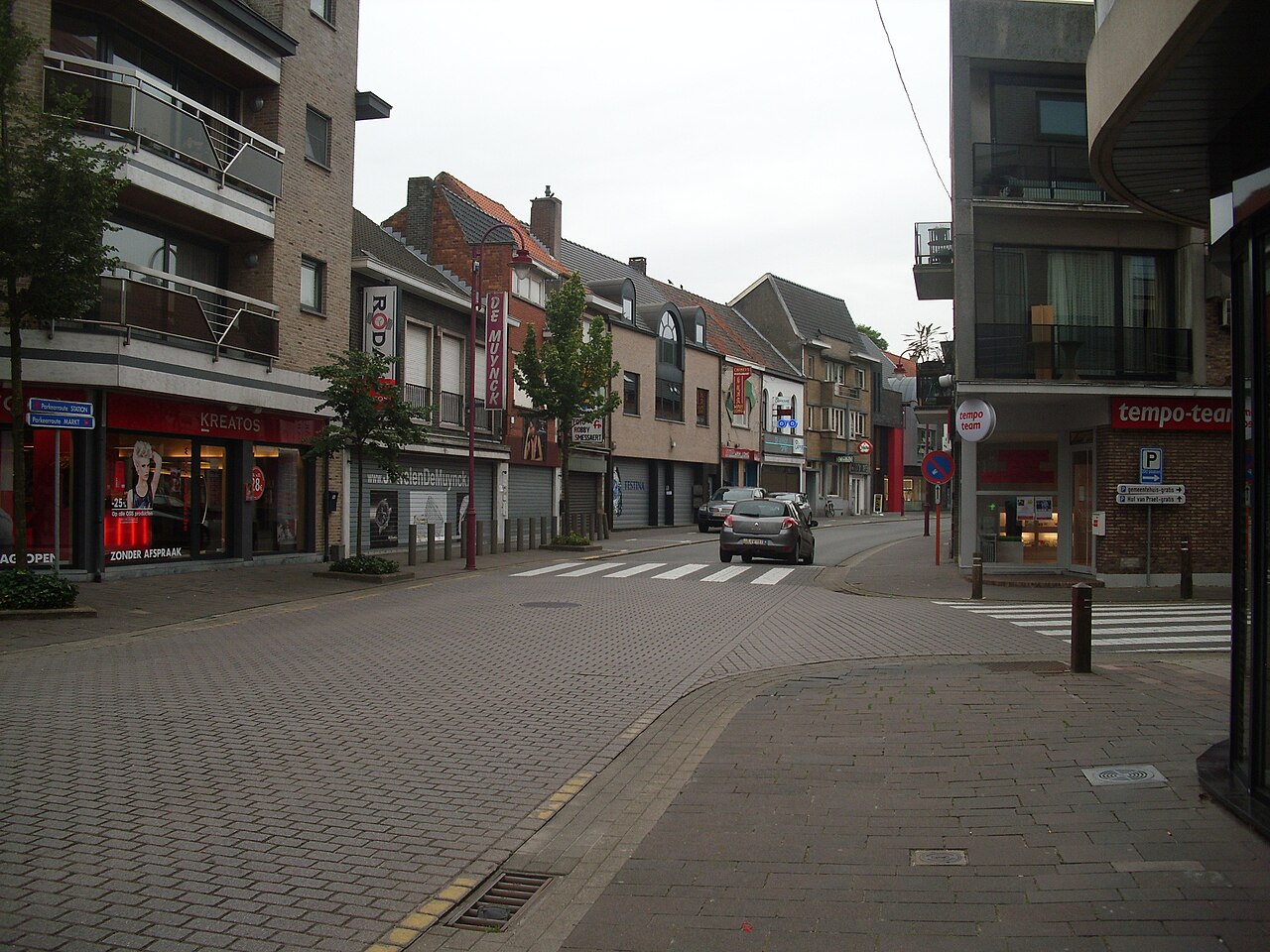


Administrative status and recent change
The modern municipality is an administrative entity (municipality) that expanded in 2019 when the neighbouring municipality of Knesselare was merged into Aalter. That reorganisation altered local governance, service provision and municipal boundaries while joining urban and rural communities under a single council.
Geography and transport
Aalter occupies a mix of small urban centres and surrounding countryside typical of this part of Flanders. Its location along main east–west transport corridors has shaped its development: the town is served by rail connections between Ghent and Bruges and is close to major highways, which make it a convenient place for commuters and local industry.
History and development
Like many towns in the region, Aalter has medieval origins and expanded gradually over centuries. Industrialisation and the arrival of railway services in the 19th century accelerated growth, turning a rural village into a more diversified local economy with residential neighbourhoods, small manufacturing and service activities.
Population, economy and community life
Population figures have varied by census; for example, the municipality had about 18,887 inhabitants reported in 2007, and numbers have shifted since as suburban growth and municipal mergers occurred. The local economy combines agriculture, light industry and services, while many residents commute to nearby cities. Community life features village churches, local markets and seasonal events typical of Flemish towns.
Notable facts and distinctions
- Aalter serves as a regional transport node with rail and road access linking it to larger urban centres.
- The 2019 incorporation of Knesselare is a recent administrative milestone affecting local planning.
- Its landscape and built heritage reflect a blend of rural tradition and suburban growth common in East Flanders.
For further municipal information and official services consult local sources or municipal publications and maps. General overviews and statistical summaries are available through regional data portals and municipal notices.
Province information · Municipal resources · Knesselare merger details · Population data · East Flanders context
Tags
Related articles
Author
AlegsaOnline.com Aalter (Belgium) — municipality in East Flanders Leandro Alegsa
URL: https://en.alegsaonline.com/art/232
Sources
- statbel.fgov.be : Population per municipality as of 1 January 2016
- statbel.fgov.be : Werkelijke bevolking per gemeente op 1 januari 2007 / Population de droit par commune au 1 janvier 2007 (.xls)
- statbel.fgov.be : Geografische coördinaten van de gemeenten (.xls)
- commons.wikimedia.org : Aalter