Beersel (Belgium) — municipality in Flemish Brabant
Beersel is a municipality in Flemish Brabant, Belgium, encompassing Beersel, Alsemberg, Dworp, Huizingen and Lot. Noted for Beersel Castle, local heritage and its proximity to Brussels.

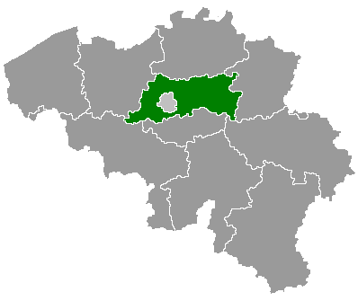
Beersel is a municipality in the Belgian province of Flemish Brabant. It lies just south-west of Brussels and combines small-town residential areas with patches of agricultural land and woodland. In 2007 the municipality recorded 23,578 inhabitants; its geographic coordinates are approximately 50°46′N, 4°18′E.
Image gallery
2 Images
Composition and character
Beersel is made up of several population centers: Beersel proper, Alsemberg, Dworp, Huizingen and Lot. Each village retains a distinct local identity while sharing municipal services. The area includes suburban neighborhoods used by commuters to Brussels, local shops, schools, and recreational green spaces.
History and landmarks

The town is best known for Beersel Castle, a late-medieval moated fortress dating largely from the 14th century. The castle and other historic buildings reflect the region’s medieval past and are focal points for cultural heritage and tourism. Over time Beersel developed from a rural cluster of settlements into a suburban municipality influenced by the growth of nearby Brussels.
Modern life and administration
Local government manages services such as education, public works and cultural events. The municipality connects to the wider region by road and public transport, serving both long-time residents and newcomers who commute to jobs in the capital. Community associations organize festivals and activities that celebrate local traditions.
Further information
For official details and municipal services see the municipal website. General information on the province is available via Flemish Brabant resources, and broader regional context can be explored through Belgian administrative guides.
- Principal villages: Beersel, Alsemberg, Dworp, Huizingen, Lot
- Notable site: Beersel Castle (medieval)
- Coordinates: about 50°46′N, 4°18′E
Tags
Related articles
Author
AlegsaOnline.com Beersel (Belgium) — municipality in Flemish Brabant Leandro Alegsa
URL: https://en.alegsaonline.com/art/10093
Sources
- statbel.fgov.be : Werkelijke bevolking per gemeente op 1 januari 2007 / Population de droit par commune au 1 janvier 2007 (.xls)
- statbel.fgov.be : Geografische coördinaten van de gemeenten (.xls)