Bütgenbach (Butgenbach) — municipality in Liège, Belgium
Bütgenbach is a German-speaking Belgian municipality in Liège province, known for its reservoir, outdoor recreation and location in the eastern Ardennes near the German border.

Bütgenbach (often written Butgenbach) is a small municipality in the province of Liège, within the Walloon region of Belgium. It lies in the eastern Ardennes and is part of Belgium's German-speaking Community. The town's geographic coordinates are roughly 50°25′N, 6°12′E.
Image gallery
3 Images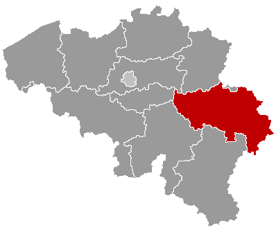


Characteristics and landscape
Bütgenbach sits beside a notable reservoir formed on the Warche river; the lake and its surrounding forests are focal points for nature-based recreation. Rolling hills, mixed woodlands and small agricultural plots define the local landscape. The area attracts hikers, cyclists and anglers and is a gateway to the nearby High Fens nature region.
History and identity
The municipality is part of the historical East Cantons, a border region with shifting sovereignty in the 19th and 20th centuries. After World War I the area was assigned to Belgium, and today Bütgenbach preserves a German-language cultural and administrative identity within the Belgian state.
Population, administration and economy
As of 2007 the municipality had 5,585 residents. Local government administers the town and surrounding hamlets, providing services typical of small rural municipalities. The economy relies on tourism, small-scale agriculture, local services and cross-border commerce with neighboring Germany.
Notable facts and visitor information
Bütgenbach is popular for day trips to its reservoir for swimming, boating and lakeside walking. Seasonal events and outdoor festivals reflect regional traditions. Visitors typically reach the town by regional roads from Liège or nearby German towns; public transport is limited, so private or tour access is common.

- Region: Eastern Ardennes, Liège province
- Language: German (primary within the German-speaking Community)
- Highlights: reservoir, hiking, nature tourism
Tags
Related articles
Author
AlegsaOnline.com Bütgenbach (Butgenbach) — municipality in Liège, Belgium Leandro Alegsa
URL: https://en.alegsaonline.com/art/15644
Sources
- statbel.fgov.be : Werkelijke bevolking per gemeente op 1 januari 2007 / Population de droit par commune au 1 janvier 2007 (.xls)
- statbel.fgov.be : Geografische coördinaten van de gemeenten (.xls)